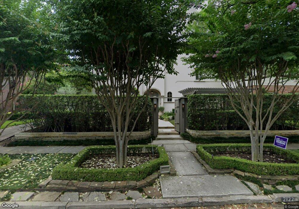
2122 Dunstan Rd Houston, TX 77005
University Place NeighborhoodEstimated Value: $1,542,000 - $2,841,000
3
Beds
5
Baths
5,090
Sq Ft
$457/Sq Ft
Est. Value
About This Home
This home is located at 2122 Dunstan Rd, Houston, TX 77005 and is currently estimated at $2,327,552, approximately $457 per square foot. 2122 Dunstan Rd is a home located in Harris County with nearby schools including Poe Elementary School, Lanier Middle School, and Lamar High School.
Ownership History
Date
Name
Owned For
Owner Type
Purchase Details
Closed on
Aug 2, 2007
Sold by
Norstone Ltd
Bought by
Nichols Michael C and Nichols Marcia C
Current Estimated Value
Home Financials for this Owner
Home Financials are based on the most recent Mortgage that was taken out on this home.
Original Mortgage
$1,770,000
Interest Rate
6.73%
Mortgage Type
Purchase Money Mortgage
Purchase Details
Closed on
Feb 4, 2005
Sold by
Beazley Norma Dominy
Bought by
Woodhaven Development Inc
Purchase Details
Closed on
Nov 19, 2002
Sold by
Beazley Norma Dominy
Bought by
Beazley Norma Dominy
Create a Home Valuation Report for This Property
The Home Valuation Report is an in-depth analysis detailing your home's value as well as a comparison with similar homes in the area
Home Values in the Area
Average Home Value in this Area
Purchase History
| Date | Buyer | Sale Price | Title Company |
|---|---|---|---|
| Nichols Michael C | -- | Alamo Title | |
| Norstone Ltd | -- | Alamo Title | |
| Norstone Ltd | -- | Alamo Title | |
| Woodhaven Development Inc | -- | Charter Title Company | |
| Beazley Norma Dominy | -- | -- |
Source: Public Records
Mortgage History
| Date | Status | Borrower | Loan Amount |
|---|---|---|---|
| Closed | Nichols Michael C | $1,770,000 |
Source: Public Records
Tax History Compared to Growth
Tax History
| Year | Tax Paid | Tax Assessment Tax Assessment Total Assessment is a certain percentage of the fair market value that is determined by local assessors to be the total taxable value of land and additions on the property. | Land | Improvement |
|---|---|---|---|---|
| 2025 | $30,758 | $2,577,051 | $1,000,725 | $1,576,326 |
| 2024 | $30,758 | $2,314,824 | $1,000,725 | $1,314,099 |
| 2023 | $30,758 | $2,004,023 | $1,000,725 | $1,003,298 |
| 2022 | $43,210 | $1,962,417 | $970,400 | $992,017 |
| 2021 | $43,117 | $1,850,000 | $879,425 | $970,575 |
| 2020 | $41,054 | $1,750,000 | $849,100 | $900,900 |
| 2019 | $39,000 | $1,541,217 | $849,100 | $692,117 |
| 2018 | $36,093 | $1,900,000 | $818,775 | $1,081,225 |
| 2017 | $48,043 | $1,900,000 | $818,775 | $1,081,225 |
| 2016 | $44,250 | $1,750,000 | $788,450 | $961,550 |
| 2015 | $31,148 | $1,750,000 | $788,450 | $961,550 |
| 2014 | $31,148 | $1,515,427 | $642,890 | $872,537 |
Source: Public Records
Map
Nearby Homes
- 2121 Quenby St
- 2129 Quenby St
- 2135 Quenby St
- 2216 Tangley St
- 2215 Dunstan Rd
- 1928 Dunstan Rd
- 2114 Wroxton Rd
- 2019 Bissonnet St
- 1804 Bolsover St
- 1832 Albans Rd
- 1801 Sunset Blvd
- 2042 Bissonnet St
- 5228 Hazard St
- 2360 Rice Blvd Unit 803
- 2360 Rice Blvd Unit 701
- 2360 Rice Blvd Unit PH1201
- 2360 Rice Blvd Unit 602
- 2360 Rice Blvd Unit 603
- 2370 Bolsover St
- 2039 South Blvd
- 2110 Dunstan Rd
- 2124 Dunstan Rd
- 2106 Dunstan Rd
- 2126 Dunstan Rd
- 2115 Tangley St
- 2119 Tangley St
- 2111 Tangley St
- 2123 Tangley St
- 2107 Tangley St
- 2119 Dunstan Rd
- 2128 Dunstan Rd
- 2102 Dunstan Rd
- 2111 Dunstan Rd
- 2121 Dunstan Rd
- 2127 Tangley St
- 2103 Tangley St
- 2123 Dunstan Rd
- 2105 Dunstan Rd
- 2129 Tangley St
- 2130 Dunstan Rd