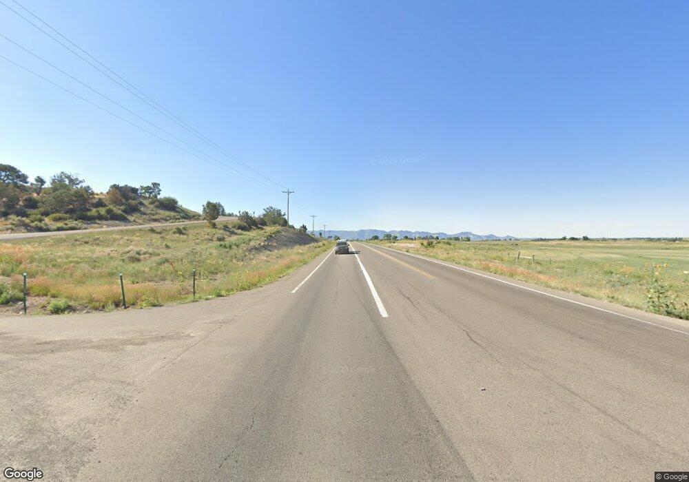
21276 Road P.3 Cortez, CO 81321
Estimated Value: $591,106 - $769,000
3
Beds
2
Baths
3,190
Sq Ft
$215/Sq Ft
Est. Value
About This Home
This home is located at 21276 Road P.3, Cortez, CO 81321 and is currently estimated at $684,527, approximately $214 per square foot. 21276 Road P.3 is a home with nearby schools including Montezuma-Cortez High School.
Ownership History
Date
Name
Owned For
Owner Type
Purchase Details
Closed on
Aug 2, 2005
Sold by
Mccoy Phillip
Bought by
Giannone Charles A and Giannone Margaret S
Current Estimated Value
Home Financials for this Owner
Home Financials are based on the most recent Mortgage that was taken out on this home.
Original Mortgage
$42,750
Interest Rate
5.55%
Mortgage Type
Unknown
Purchase Details
Closed on
Jun 30, 2003
Sold by
Mccoy Phillip and Mccoy Connie
Bought by
Mccoy Phillip
Purchase Details
Closed on
Jul 26, 2002
Sold by
Lee Wayne E and Flora Virginia
Bought by
Mccoy Phillip and Mccoy Connie
Create a Home Valuation Report for This Property
The Home Valuation Report is an in-depth analysis detailing your home's value as well as a comparison with similar homes in the area
Home Values in the Area
Average Home Value in this Area
Purchase History
| Date | Buyer | Sale Price | Title Company |
|---|---|---|---|
| Giannone Charles A | $57,000 | None Available | |
| Mccoy Phillip | -- | -- | |
| Mccoy Phillip | $39,000 | -- |
Source: Public Records
Mortgage History
| Date | Status | Borrower | Loan Amount |
|---|---|---|---|
| Closed | Giannone Charles A | $42,750 |
Source: Public Records
Tax History Compared to Growth
Tax History
| Year | Tax Paid | Tax Assessment Tax Assessment Total Assessment is a certain percentage of the fair market value that is determined by local assessors to be the total taxable value of land and additions on the property. | Land | Improvement |
|---|---|---|---|---|
| 2024 | $1,040 | $30,373 | $3,832 | $26,541 |
| 2023 | $1,040 | $34,750 | $4,384 | $30,366 |
| 2022 | $1,174 | $27,150 | $4,384 | $22,766 |
| 2021 | $1,194 | $27,150 | $4,384 | $22,766 |
| 2020 | $1,136 | $26,941 | $4,384 | $22,557 |
| 2019 | $1,136 | $26,941 | $4,384 | $22,557 |
| 2018 | $1,155 | $23,600 | $3,970 | $19,630 |
| 2017 | $1,105 | $23,600 | $3,970 | $19,630 |
| 2016 | $1,204 | $26,020 | $4,380 | $21,640 |
| 2015 | $1,193 | $378,960 | $0 | $0 |
| 2014 | $1,166 | $26,020 | $0 | $0 |
Source: Public Records
Map
Nearby Homes
- 21273 Road P
- 20623 Road N
- 15248 Road 22
- 12281 County Road 22
- 16513 Road 20
- TBD Road 20
- 12158 County Road 22
- 12053 County Road 22
- 20050 Road S
- 0 Tbd Road 22 6 Lot 7 Unit 829157
- 0 Tbd Road 22 6 Lot 10 Unit 829159
- 0 Tbd Road 22 6 Lot 8 Unit 829156
- 0 Tbd Road 22 6 Lot 5 Unit 829155
- 22250 Road M
- 22548 M Rd
- 16390 Road 20
- 12336 Road 23 25 Loop
- TBD 1 N 20 Rd
- TBD 2 S 20 Rd
- 16931 Highway 491
- TBD P 3
- 21280 Road P.3
- 21283 Road P
- 21286 Road P
- 21208 Road P
- 14160 Road 21
- 21301 Road P 3
- 14122 Road 21 3
- 14160 Road 21 3
- 21217 Road P.3
- 14122 Road 21
- 21473 Road P
- 14090 Road 21.3
- 0 Road P Unit 767934
- 0 Road P
- 0 Road 21 3 (G)
- 21285 Road P
- 21243 Road P
- 0 Road P 3 Unit 611725
- 0 Road P 3 Unit west of Hwy 491
