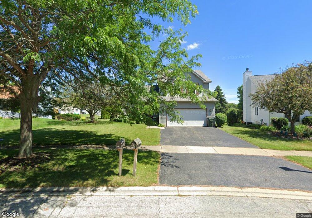
213 Potomac Ln Winthrop Harbor, IL 60096
Estimated Value: $331,299 - $399,000
3
Beds
3
Baths
1,832
Sq Ft
$197/Sq Ft
Est. Value
About This Home
This home is located at 213 Potomac Ln, Winthrop Harbor, IL 60096 and is currently estimated at $360,825, approximately $196 per square foot. 213 Potomac Ln is a home located in Lake County with nearby schools including Westfield School, North Prairie Junior High School, and Zion-Benton Township High School.
Ownership History
Date
Name
Owned For
Owner Type
Purchase Details
Closed on
Sep 19, 1994
Sold by
Bank Of Waukegan
Bought by
Parrish James L and Parrish Jodi L
Current Estimated Value
Home Financials for this Owner
Home Financials are based on the most recent Mortgage that was taken out on this home.
Original Mortgage
$114,000
Interest Rate
7.37%
Create a Home Valuation Report for This Property
The Home Valuation Report is an in-depth analysis detailing your home's value as well as a comparison with similar homes in the area
Home Values in the Area
Average Home Value in this Area
Purchase History
| Date | Buyer | Sale Price | Title Company |
|---|---|---|---|
| Parrish James L | $120,000 | -- |
Source: Public Records
Mortgage History
| Date | Status | Borrower | Loan Amount |
|---|---|---|---|
| Closed | Parrish James L | $114,000 |
Source: Public Records
Tax History Compared to Growth
Tax History
| Year | Tax Paid | Tax Assessment Tax Assessment Total Assessment is a certain percentage of the fair market value that is determined by local assessors to be the total taxable value of land and additions on the property. | Land | Improvement |
|---|---|---|---|---|
| 2024 | $7,164 | $80,506 | $7,047 | $73,459 |
| 2023 | $6,849 | $74,842 | $6,803 | $68,039 |
| 2022 | $6,849 | $68,587 | $6,638 | $61,949 |
| 2021 | $7,010 | $66,842 | $6,469 | $60,373 |
| 2020 | $6,794 | $63,786 | $6,173 | $57,613 |
| 2019 | $6,624 | $60,518 | $5,857 | $54,661 |
| 2018 | $7,122 | $64,365 | $7,076 | $57,289 |
| 2017 | $7,067 | $60,551 | $6,657 | $53,894 |
| 2016 | $6,879 | $57,646 | $6,338 | $51,308 |
| 2015 | $6,752 | $52,867 | $5,813 | $47,054 |
| 2014 | $7,020 | $56,687 | $12,575 | $44,112 |
| 2012 | $6,911 | $58,908 | $13,068 | $45,840 |
Source: Public Records
Map
Nearby Homes
- 429 Megan Place
- 432 Megan Place
- 11279 W Russell Rd
- 436 Megan Place
- 242 Thompson Ave
- 0 Garnett Ave
- 12122 28th Ave
- 12111 28th Ave
- 43100 N Lewis Ave
- Lt0 39th Ave
- Lt0 128th St
- 42908 N Lewis Ave
- 1810 5th St
- 210 Oak Ln
- 830 Russell Ave
- 630 Whitney Ave
- 3109 11th St
- 737 Franklin Ave
- 3106 13th St
- 1228 Pennsylvania Ave
- 217 Potomac Ln
- 209 Potomac Ln
- 221 Potomac Ln
- 205 Potomac Ln
- 125 Chesapeake Bay
- 214 Potomac Ln
- 208 Potomac Ln
- 121 Chesapeake Bay
- 225 Potomac Ln
- 129 Chesapeake Bay
- 145 Old Darby Ln
- 204 Potomac Ln
- 222 Potomac Ln
- 229 Potomac Ln
- 233 Potomac Ln
- 203 Old Darby Ln
- 226 Potomac Ln
- 133 Chesapeake Bay
- 117 Chesapeake Bay
- 205 Old Darby Ln