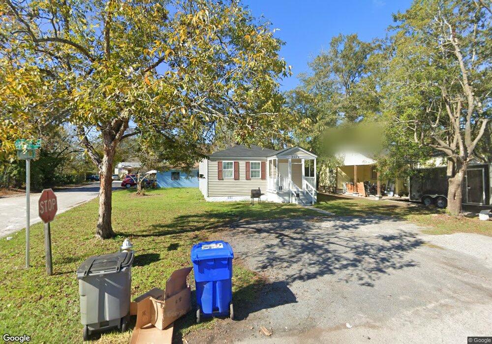
2132 Captain Ave North Charleston, SC 29405
Charleston Heights NeighborhoodEstimated Value: $183,000 - $266,000
3
Beds
1
Bath
936
Sq Ft
$233/Sq Ft
Est. Value
About This Home
This home is located at 2132 Captain Ave, North Charleston, SC 29405 and is currently estimated at $218,187, approximately $233 per square foot. 2132 Captain Ave is a home located in Charleston County with nearby schools including Mary Ford Elementary School, Chicora Elementary School, and Morningside Middle.
Ownership History
Date
Name
Owned For
Owner Type
Purchase Details
Closed on
Jun 11, 2021
Sold by
Lpm Management Group 1 Llc
Bought by
Hall Adam
Current Estimated Value
Purchase Details
Closed on
May 3, 2018
Sold by
Greater Charleston Real Estate Inc
Bought by
Lpm Management Group 1 Llc
Home Financials for this Owner
Home Financials are based on the most recent Mortgage that was taken out on this home.
Original Mortgage
$224,000
Interest Rate
4.44%
Mortgage Type
Commercial
Create a Home Valuation Report for This Property
The Home Valuation Report is an in-depth analysis detailing your home's value as well as a comparison with similar homes in the area
Home Values in the Area
Average Home Value in this Area
Purchase History
| Date | Buyer | Sale Price | Title Company |
|---|---|---|---|
| Hall Adam | $850,000 | Mccants Law Firm | |
| Hall Adam | $850,000 | None Listed On Document | |
| Lpm Management Group 1 Llc | $248,000 | None Available |
Source: Public Records
Mortgage History
| Date | Status | Borrower | Loan Amount |
|---|---|---|---|
| Previous Owner | Lpm Management Group 1 Llc | $224,000 | |
| Closed | Hall Adam | $0 |
Source: Public Records
Tax History Compared to Growth
Tax History
| Year | Tax Paid | Tax Assessment Tax Assessment Total Assessment is a certain percentage of the fair market value that is determined by local assessors to be the total taxable value of land and additions on the property. | Land | Improvement |
|---|---|---|---|---|
| 2024 | $2,316 | $7,200 | $0 | $0 |
| 2023 | $2,316 | $7,200 | $0 | $0 |
| 2022 | $2,163 | $7,200 | $0 | $0 |
| 2021 | $1,024 | $3,110 | $0 | $0 |
| 2020 | $1,017 | $3,110 | $0 | $0 |
| 2019 | $1,187 | $2,710 | $0 | $0 |
| 2017 | $492 | $1,320 | $0 | $0 |
| 2016 | $481 | $1,320 | $0 | $0 |
| 2015 | $469 | $1,320 | $0 | $0 |
| 2014 | $502 | $0 | $0 | $0 |
| 2011 | -- | $0 | $0 | $0 |
Source: Public Records
Map
Nearby Homes
- 2136 Commander Rd
- 2116 Commander Rd
- 3108 Accabee Rd
- 2215 Suffolk St
- 2208 Bailey Dr
- 2257 Mott Ave
- 2215 Cambridge Ave
- 3313 Goldenrod St
- 2601 S Allen Dr
- 2147 Garfield St
- 2641 S Allen Dr
- 3322 Kraft Ave
- 2149 Fillmore St
- 2655 S Allen Dr
- 2245 Fillmore St
- 2313 Aintree Ave
- 3104 Azalea Dr Unit B
- 2322 Coral Bell Dr
- 2654 Harvey Ave
- 3311 Proctor St
- 2130 Captain Ave
- 2133 Commander Rd
- 2131 Commander Rd
- 2128 Captain Ave
- 2129 Commander Rd
- 2131 Captain Ave
- 3414 Meeting Street Rd
- 2129 Captain Ave
- 2127 Commander Rd
- 2127 Captain Ave
- 2138 Commander Rd
- 2134 Commander Rd
- 2140 Commander Rd
- 2132 Commander Rd
- 3430 Meeting Street Rd
- 2124 Captain Ave
- 2130 Commander Rd
- 2125 Commander Rd
- 2128 Commander Rd
- 2122 Captain Ave