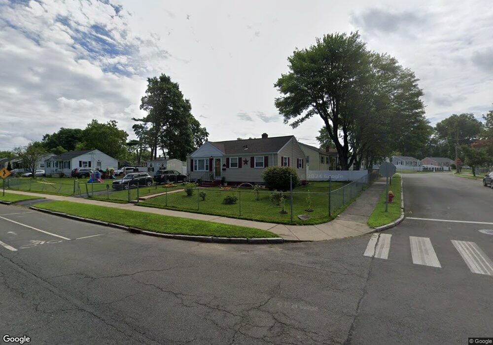
214 Brookfield St Hartford, CT 06106
Behind the Rocks NeighborhoodEstimated Value: $222,194 - $278,000
3
Beds
1
Bath
900
Sq Ft
$274/Sq Ft
Est. Value
About This Home
This home is located at 214 Brookfield St, Hartford, CT 06106 and is currently estimated at $247,049, approximately $274 per square foot. 214 Brookfield St is a home located in Hartford County with nearby schools including Environmental Sciences Magnet School at Mary Hooker, Sanchez School, and Burns Latino Studies Academy.
Ownership History
Date
Name
Owned For
Owner Type
Purchase Details
Closed on
Mar 1, 1999
Sold by
Columbo Larry
Bought by
Melendez Mario and Lebron Cruz
Current Estimated Value
Home Financials for this Owner
Home Financials are based on the most recent Mortgage that was taken out on this home.
Original Mortgage
$55,600
Interest Rate
6.78%
Mortgage Type
Purchase Money Mortgage
Create a Home Valuation Report for This Property
The Home Valuation Report is an in-depth analysis detailing your home's value as well as a comparison with similar homes in the area
Home Values in the Area
Average Home Value in this Area
Purchase History
| Date | Buyer | Sale Price | Title Company |
|---|---|---|---|
| Melendez Mario | $58,000 | -- |
Source: Public Records
Mortgage History
| Date | Status | Borrower | Loan Amount |
|---|---|---|---|
| Open | Melendez Mario | $43,000 | |
| Closed | Melendez Mario | $55,600 | |
| Closed | Melendez Mario | $3,900 |
Source: Public Records
Tax History Compared to Growth
Tax History
| Year | Tax Paid | Tax Assessment Tax Assessment Total Assessment is a certain percentage of the fair market value that is determined by local assessors to be the total taxable value of land and additions on the property. | Land | Improvement |
|---|---|---|---|---|
| 2025 | $3,999 | $57,992 | $7,203 | $50,789 |
| 2024 | $3,999 | $57,992 | $7,203 | $50,789 |
| 2023 | $3,999 | $57,992 | $7,203 | $50,789 |
| 2022 | $3,999 | $57,992 | $7,203 | $50,789 |
| 2021 | $3,224 | $43,400 | $9,905 | $33,495 |
| 2020 | $3,224 | $43,400 | $9,905 | $33,495 |
| 2019 | $3,224 | $43,400 | $9,905 | $33,495 |
| 2018 | $3,115 | $41,937 | $9,571 | $32,366 |
| 2016 | $3,206 | $43,161 | $9,115 | $34,046 |
| 2015 | $3,054 | $41,111 | $8,682 | $32,429 |
| 2014 | $2,979 | $40,106 | $8,470 | $31,636 |
Source: Public Records
Map
Nearby Homes
- 201 Saybrooke St
- 218 Saybrooke St
- 190 Bonner St
- 136 Wilson St
- 119 Bonner St Unit 121
- 311 New Park Ave
- 24 Merrill St Unit B5
- 24 Merrill St Unit C1
- 67 Harbison Ave Unit 69
- 66 Francis Ave Unit 68
- 46 New Park Ave
- 89 Madison Ave Unit 91
- 101 Madison Ave
- 205 Zion St
- 199 Zion St
- 23 Harbison Ave
- 452 Broadview Terrace
- 120 Nilan St
- 18 S Whitney St
- 110 Coolidge St
- 208 Brookfield St
- 244 Bonner St
- 238 Bonner St
- 202 Brookfield St
- 5 Ellington St
- 9 Ellington St
- 232 Bonner St
- 15 Ellington St
- 198 Brookfield St
- 245 Bonner St
- 228 Bonner St
- 21 Ellington St
- 192 Brookfield St
- 237 Bonner St
- 27 Ellington St
- 186 Brookfield St
- 26 Ellington St
- 222 Bonner St
- 11 Westbrook St
- 8 Westbrook St