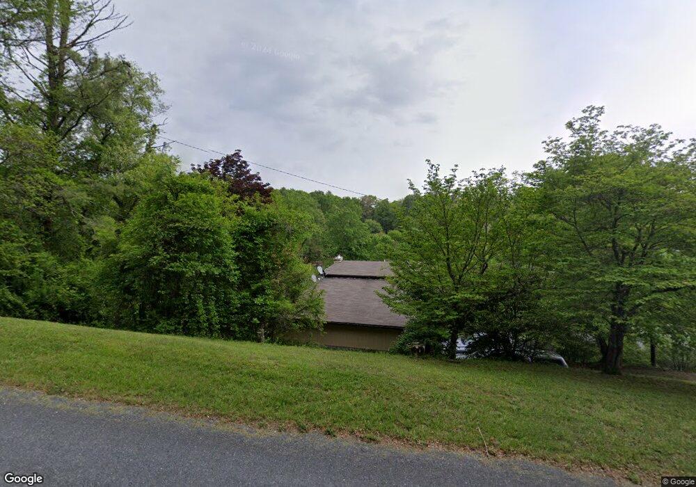
214 Hawkins Branch Rd Spruce Pine, NC 28777
Estimated Value: $271,000 - $312,626
4
Beds
4
Baths
3,328
Sq Ft
$87/Sq Ft
Est. Value
About This Home
This home is located at 214 Hawkins Branch Rd, Spruce Pine, NC 28777 and is currently estimated at $288,657, approximately $86 per square foot. 214 Hawkins Branch Rd is a home located in Mitchell County with nearby schools including Greenlee Primary School, Deyton Elementary School, and Harris Middle School.
Ownership History
Date
Name
Owned For
Owner Type
Purchase Details
Closed on
Mar 1, 2022
Sold by
Cecil Polly Jr and Cecil Amanda
Bought by
Ledford Casey and Dahnke Daniel
Current Estimated Value
Home Financials for this Owner
Home Financials are based on the most recent Mortgage that was taken out on this home.
Original Mortgage
$166,500
Outstanding Balance
$144,929
Interest Rate
3.69%
Mortgage Type
Purchase Money Mortgage
Estimated Equity
$143,728
Purchase Details
Closed on
Jun 6, 2005
Sold by
Polly Birdie H
Bought by
Polly Cecil
Create a Home Valuation Report for This Property
The Home Valuation Report is an in-depth analysis detailing your home's value as well as a comparison with similar homes in the area
Home Values in the Area
Average Home Value in this Area
Purchase History
| Date | Buyer | Sale Price | Title Company |
|---|---|---|---|
| Ledford Casey | $185,000 | Grindstaff B Dean | |
| Polly Cecil | -- | None Available |
Source: Public Records
Mortgage History
| Date | Status | Borrower | Loan Amount |
|---|---|---|---|
| Open | Ledford Casey | $166,500 |
Source: Public Records
Tax History Compared to Growth
Tax History
| Year | Tax Paid | Tax Assessment Tax Assessment Total Assessment is a certain percentage of the fair market value that is determined by local assessors to be the total taxable value of land and additions on the property. | Land | Improvement |
|---|---|---|---|---|
| 2025 | $1,260 | $196,800 | $12,200 | $184,600 |
| 2024 | $1,210 | $192,000 | $12,200 | $179,800 |
| 2023 | $1,210 | $192,000 | $12,200 | $179,800 |
| 2022 | $1,210 | $192,000 | $12,200 | $179,800 |
| 2021 | $829 | $127,600 | $12,200 | $115,400 |
| 2020 | $829 | $127,600 | $12,200 | $115,400 |
| 2019 | $829 | $127,600 | $12,200 | $115,400 |
| 2018 | $829 | $127,600 | $12,200 | $115,400 |
| 2017 | $860 | $132,300 | $12,200 | $120,100 |
| 2016 | $794 | $132,300 | $12,200 | $120,100 |
| 2015 | $79 | $132,300 | $12,200 | $120,100 |
| 2014 | $794 | $132,300 | $12,200 | $120,100 |
Source: Public Records
Map
Nearby Homes
- 000 High Cliffs Trail
- 468 Deer Park Lake Rd
- 271 Sunnybrook Dr
- 00 Deer Park Lake Rd
- 64 Phillips Ln
- 44 Hemlock Ave
- 000 Highland River Pkwy Unit 3
- 04 Highland River Pkwy Unit 4
- 43 Hemlock Ave
- 000 Highland Ave
- 147 Walnut Ave
- 79 Creekside Ln
- 99 Boone St
- 355 Walnut Ave
- TBD Parkwood Hills
- 59 Deer Place Rd
- 294 Martha Dr
- 106 Chapel St
- 76 Overlook Pointe Dr
- 655 Overlook Dr Unit C
- 10 Ellis Road Extension
- 131 Ellis Rd
- 106 Ellis Rd
- 241 Hawkins Branch Rd
- 48 Ellis Rd
- 141 Ellis Rd
- 71 Ellis Rd
- 54 Ellis Road Extension
- 261 Hawkins Branch Rd
- 35 Phil Buchanan Rd
- 192 Ellis Rd
- 127 Hawkins Branch Rd
- 127 Hawkins Branch Rd
- 39 Phil Buchanan Rd
- 88 Fox Trot Ln
- 89 Phil Buchanan Rd
- 89 Phil Buchanan Rd
- 76 Ellis Road Extension
- 66 Phil Buchanan Rd
- 84 Phil Buchanan Rd