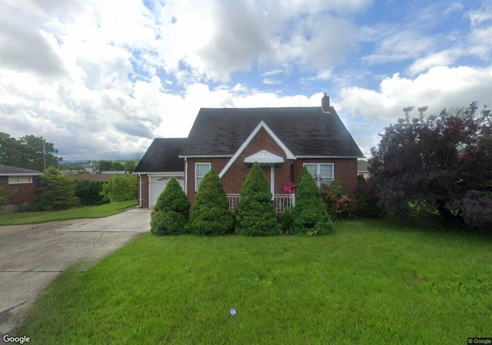
214 Porter Ave Scottdale, PA 15683
East Huntingdon Township NeighborhoodEstimated Value: $61,264 - $207,000
--
Bed
--
Bath
--
Sq Ft
8,799
Sq Ft Lot
About This Home
This home is located at 214 Porter Ave, Scottdale, PA 15683 and is currently estimated at $157,316. 214 Porter Ave is a home located in Westmoreland County with nearby schools including Southmoreland Elementary School, Southmoreland Primary Center, and Southmoreland Senior High School.
Ownership History
Date
Name
Owned For
Owner Type
Purchase Details
Closed on
Jun 9, 2010
Sold by
Sarachine Joanne and Polinsky Dimitro M
Bought by
Tarasky Michael A
Current Estimated Value
Home Financials for this Owner
Home Financials are based on the most recent Mortgage that was taken out on this home.
Original Mortgage
$90,600
Outstanding Balance
$60,899
Interest Rate
5.03%
Mortgage Type
New Conventional
Estimated Equity
$96,417
Create a Home Valuation Report for This Property
The Home Valuation Report is an in-depth analysis detailing your home's value as well as a comparison with similar homes in the area
Home Values in the Area
Average Home Value in this Area
Purchase History
| Date | Buyer | Sale Price | Title Company |
|---|---|---|---|
| Tarasky Michael A | $113,300 | None Available |
Source: Public Records
Mortgage History
| Date | Status | Borrower | Loan Amount |
|---|---|---|---|
| Open | Tarasky Michael A | $90,600 |
Source: Public Records
Tax History Compared to Growth
Tax History
| Year | Tax Paid | Tax Assessment Tax Assessment Total Assessment is a certain percentage of the fair market value that is determined by local assessors to be the total taxable value of land and additions on the property. | Land | Improvement |
|---|---|---|---|---|
| 2025 | $2,396 | $18,800 | $3,070 | $15,730 |
| 2024 | $2,375 | $18,800 | $3,070 | $15,730 |
| 2023 | $2,156 | $18,800 | $3,070 | $15,730 |
| 2022 | $2,062 | $18,800 | $3,070 | $15,730 |
| 2021 | $2,008 | $18,800 | $3,070 | $15,730 |
| 2020 | $1,975 | $18,800 | $3,070 | $15,730 |
| 2019 | $1,899 | $18,800 | $3,070 | $15,730 |
| 2018 | $1,840 | $18,800 | $3,070 | $15,730 |
| 2017 | $1,840 | $18,800 | $3,070 | $15,730 |
| 2016 | $1,798 | $18,800 | $3,070 | $15,730 |
| 2015 | $1,798 | $18,800 | $3,070 | $15,730 |
| 2014 | $1,773 | $18,800 | $3,070 | $15,730 |
Source: Public Records
Map
Nearby Homes
- 315 Mount Pleasant Rd
- 201 Arthur Ave
- 716 Stauffer Ave
- 511 Arthur Ave
- 809 Arthur Ave
- 22 N Grant St
- 228 Dorothy St
- 104 Overholt Dr
- 109 Homestead Ave
- 306 S Grant St
- 302 Eleanor Ave
- 716 George St
- 322 S Broadway St
- 717 George St
- 1008 Pittsburgh St
- 505 S Grove St
- 510 S Chestnut St
- 203 Painter St
- 242 Brown St
- 1805 W Loucks Extension
- 218 Porter Ave
- 221 Porter Ave
- 215 Orchard Ave
- 206 Porter Ave
- 217 Orchard Ave
- 211 Orchard Ave
- 215 Porter Ave
- 213 Porter Ave
- 228 Porter Ave
- 205 Orchard Ave
- 200 Porter Ave
- 201 Porter Ave
- 201 Orchard Ave
- 212 Orchard Ave
- 220 Orchard Ave
- 208 Orchard Ave
- 298 Orchard Ave
- 300 Porter Ave
- 301 Porter Ave
- 125 Orchard Ave