21407 Maple Hollow Ct Sterling, VA 20164
Estimated Value: $919,727 - $1,017,000
4
Beds
3
Baths
3,299
Sq Ft
$291/Sq Ft
Est. Value
About This Home
This home is located at 21407 Maple Hollow Ct, Sterling, VA 20164 and is currently estimated at $960,682, approximately $291 per square foot. 21407 Maple Hollow Ct is a home located in Loudoun County with nearby schools including Meadowland Elementary School, Seneca Ridge Middle School, and Dominion High School.
Ownership History
Date
Name
Owned For
Owner Type
Purchase Details
Closed on
Mar 29, 2000
Sold by
The Drees Co
Bought by
Taghipoud Mostafa
Current Estimated Value
Home Financials for this Owner
Home Financials are based on the most recent Mortgage that was taken out on this home.
Original Mortgage
$252,000
Outstanding Balance
$87,390
Interest Rate
8.4%
Estimated Equity
$873,292
Create a Home Valuation Report for This Property
The Home Valuation Report is an in-depth analysis detailing your home's value as well as a comparison with similar homes in the area
Home Values in the Area
Average Home Value in this Area
Purchase History
| Date | Buyer | Sale Price | Title Company |
|---|---|---|---|
| Taghipoud Mostafa | $338,205 | -- |
Source: Public Records
Mortgage History
| Date | Status | Borrower | Loan Amount |
|---|---|---|---|
| Open | Taghipoud Mostafa | $252,000 |
Source: Public Records
Tax History Compared to Growth
Tax History
| Year | Tax Paid | Tax Assessment Tax Assessment Total Assessment is a certain percentage of the fair market value that is determined by local assessors to be the total taxable value of land and additions on the property. | Land | Improvement |
|---|---|---|---|---|
| 2025 | $7,231 | $898,240 | $255,900 | $642,340 |
| 2024 | $7,278 | $841,420 | $255,900 | $585,520 |
| 2023 | $6,722 | $768,200 | $245,900 | $522,300 |
| 2022 | $6,622 | $744,060 | $240,900 | $503,160 |
| 2021 | $6,231 | $635,790 | $212,700 | $423,090 |
| 2020 | $6,301 | $608,780 | $182,700 | $426,080 |
| 2019 | $6,258 | $598,840 | $182,700 | $416,140 |
| 2018 | $6,296 | $580,260 | $182,700 | $397,560 |
| 2017 | $6,291 | $559,220 | $182,700 | $376,520 |
| 2016 | $6,571 | $573,920 | $0 | $0 |
| 2015 | $6,706 | $408,100 | $0 | $408,100 |
| 2014 | $6,380 | $379,690 | $0 | $379,690 |
Source: Public Records
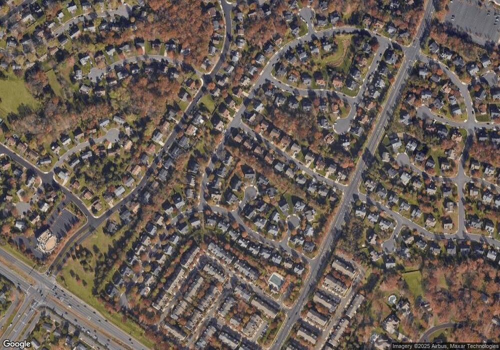
Map
Nearby Homes
- 46823 Gunflint Way
- 21439 Kenyon Ct
- 104 W Amhurst Place
- 32 Cedar Dr
- 21073 Semblance Dr
- 46699 Paragon Terrace
- 130 Lakeland Dr
- 502 Giles Place
- 500 Giles Place
- 46440 Beartown Dr
- 100 Marcum Ct
- 46930 Trumpet Cir
- 116 Lake Dr
- 304 E Gordon St
- 0 Lake Dr
- 21914 Hawksbill High Cir Unit 304
- 312 E Gordon St
- 46932 Courtyard Square
- 21845 Baldwin Square Unit 101
- 46320 Mount Milstead Terrace Unit 100
- 21415 Maple Hollow Ct
- 21406 Maple Hollow Ct
- 46817 Northbrook Way
- 46781 Backwater Dr
- 46821 Northbrook Way
- 46813 Northbrook Way
- 46777 Backwater Dr
- 21410 Maple Hollow Ct
- 46773 Backwater Dr
- 21419 Maple Hollow Ct
- 46809 Northbrook Way
- 21414 Maple Hollow Ct
- 46768 Hollow Mountain Place
- 46829 Northbrook Way
- 21418 Maple Hollow Ct
- 46816 Northbrook Way
- 46812 Northbrook Way
- 46820 Northbrook Way
- 21425 Cliff Haven Ct
- 46793 Backwater Dr