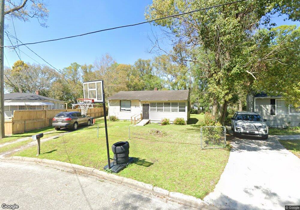
2142 Allandale Cir N Jacksonville, FL 32254
West Jacksonville NeighborhoodEstimated Value: $77,267 - $133,000
2
Beds
1
Bath
852
Sq Ft
$114/Sq Ft
Est. Value
About This Home
This home is located at 2142 Allandale Cir N, Jacksonville, FL 32254 and is currently estimated at $97,317, approximately $114 per square foot. 2142 Allandale Cir N is a home located in Duval County with nearby schools including Biltmore Elementary School, Lake Shore Middle School, and William M. Raines High School.
Ownership History
Date
Name
Owned For
Owner Type
Purchase Details
Closed on
Aug 14, 2020
Sold by
North Allandale Circle Trust 2142A
Bought by
Shillingford And Johnson Investment Llc
Current Estimated Value
Purchase Details
Closed on
Jan 13, 2016
Sold by
County Of Duval
Bought by
North Allandale Circle Trust #2142A and Brooker Browne Inc
Purchase Details
Closed on
Jul 23, 2010
Sold by
Walton Otis L
Bought by
Reaves John J
Purchase Details
Closed on
Oct 28, 2008
Sold by
Aboud Richard J and Armstrong William
Bought by
Walton Otis L
Purchase Details
Closed on
Aug 31, 1998
Sold by
Lykins Darlie Raymond and Lykins Linda Rae
Bought by
Reaves John J
Create a Home Valuation Report for This Property
The Home Valuation Report is an in-depth analysis detailing your home's value as well as a comparison with similar homes in the area
Home Values in the Area
Average Home Value in this Area
Purchase History
| Date | Buyer | Sale Price | Title Company |
|---|---|---|---|
| Shillingford And Johnson Investment Llc | -- | None Available | |
| North Allandale Circle Trust #2142A | $5,900 | None Available | |
| Reaves John J | $10,000 | None Available | |
| Walton Otis L | -- | Attorney | |
| Reaves John J | $100 | -- |
Source: Public Records
Tax History Compared to Growth
Tax History
| Year | Tax Paid | Tax Assessment Tax Assessment Total Assessment is a certain percentage of the fair market value that is determined by local assessors to be the total taxable value of land and additions on the property. | Land | Improvement |
|---|---|---|---|---|
| 2025 | $668 | $25,003 | -- | -- |
| 2024 | $648 | $35,444 | $23,634 | $11,810 |
| 2023 | $648 | $35,390 | $23,634 | $11,756 |
| 2022 | $536 | $24,969 | $14,544 | $10,425 |
| 2021 | $481 | $17,079 | $9,090 | $7,989 |
| 2020 | $381 | $13,862 | $7,272 | $6,590 |
| 2019 | $358 | $11,287 | $5,454 | $5,833 |
| 2018 | $335 | $9,008 | $4,363 | $4,645 |
| 2017 | $322 | $7,680 | $3,636 | $4,044 |
| 2016 | $319 | $7,397 | $0 | $0 |
| 2015 | $553 | $19,655 | $0 | $0 |
| 2014 | $571 | $20,400 | $0 | $0 |
Source: Public Records
Map
Nearby Homes
- 2171 Allandale Cir N
- 2156 Allandale Cir N
- 3070 W 15th St
- 3153 W 15th St
- 3047 W 12th St
- 2039 Allandale Cir E
- 2118 Detroit St
- 3033 W 15th St
- 2963 W 12th St
- 2944 W 12th St
- 1739 Melson Ave
- 2962 W 16th St
- 2913 W 10th St
- 3122 W 20th St
- 3186 W 20th St
- 1630 Detroit St
- 3142 W 6th St
- 3108 W 6th St
- 2846 W 8th St
- 3518 Acacia St
- 2148 Allandale Cir W
- 2148 Allandale Cir N
- 2138 Allandale Cr N
- 2154 Allandale Cir W
- 2154 Allandale Cir N
- 3144 12
- 3144 W 12th St
- 3154 W 12th St
- 2132 Allandale Cir W
- 2132 Allandale Cr W
- 3134 W 12th St
- 3162 W 12th St
- 2147 Allandale Cir N
- 2162 Allandale Cir N
- 3124 W 12th St
- 2145 Melson Ave
- 2153 Melson Ave
- 2137 Melson Ave
- 2168 Allandale Cir N
- 2165 Allandale Cir N