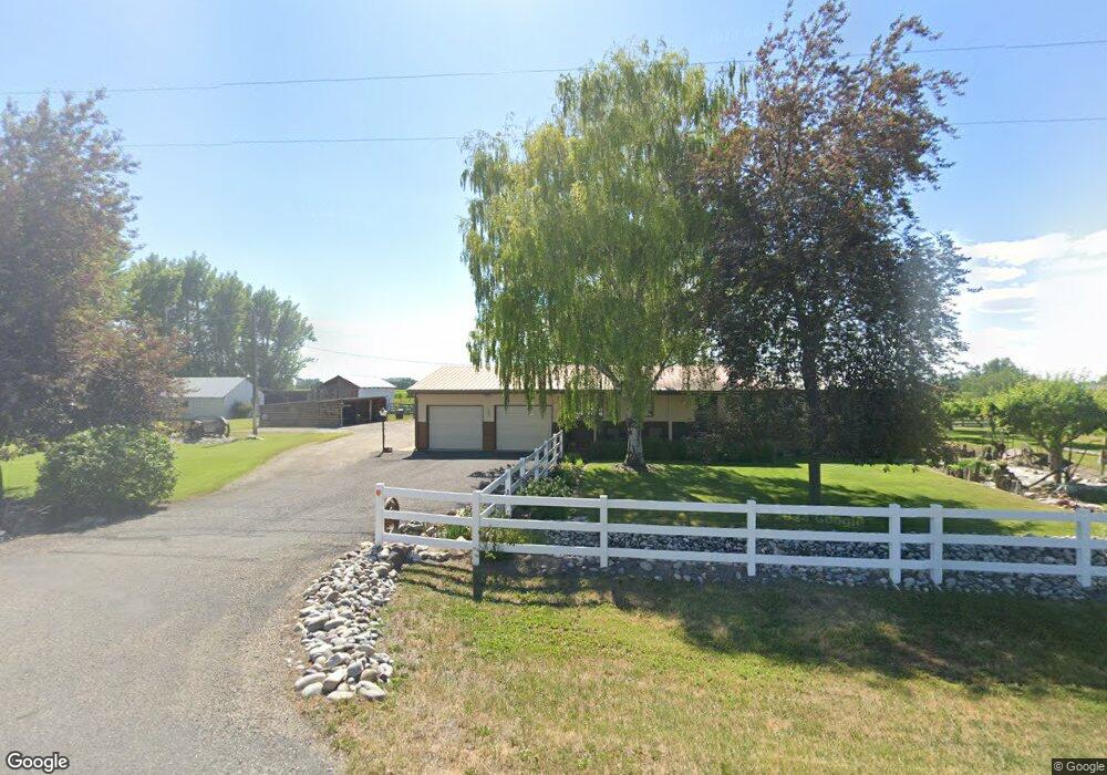
2147 S 4000 W Rexburg, ID 83440
Estimated Value: $400,067 - $477,000
3
Beds
1
Bath
1,657
Sq Ft
$260/Sq Ft
Est. Value
About This Home
This home is located at 2147 S 4000 W, Rexburg, ID 83440 and is currently estimated at $431,517, approximately $260 per square foot. 2147 S 4000 W is a home located in Madison County with nearby schools including Burton Elementary School, Kennedy Elementary School, and Madison Junior High School.
Ownership History
Date
Name
Owned For
Owner Type
Purchase Details
Closed on
Sep 3, 2025
Sold by
Joan Dearborn Survivors Trust and Dearborn Nedra Joan
Bought by
Dearborn Charles Kip and Dearborn Elana
Current Estimated Value
Home Financials for this Owner
Home Financials are based on the most recent Mortgage that was taken out on this home.
Original Mortgage
$325,000
Outstanding Balance
$325,000
Interest Rate
6.74%
Mortgage Type
Seller Take Back
Estimated Equity
$106,517
Purchase Details
Closed on
Feb 3, 2022
Sold by
Livi Charles and Livi Nedra
Bought by
Kauer Tanya D
Create a Home Valuation Report for This Property
The Home Valuation Report is an in-depth analysis detailing your home's value as well as a comparison with similar homes in the area
Home Values in the Area
Average Home Value in this Area
Purchase History
| Date | Buyer | Sale Price | Title Company |
|---|---|---|---|
| Dearborn Charles Kip | -- | Amerititle | |
| Kauer Tanya D | -- | None Listed On Document |
Source: Public Records
Mortgage History
| Date | Status | Borrower | Loan Amount |
|---|---|---|---|
| Open | Dearborn Charles Kip | $325,000 |
Source: Public Records
Tax History Compared to Growth
Tax History
| Year | Tax Paid | Tax Assessment Tax Assessment Total Assessment is a certain percentage of the fair market value that is determined by local assessors to be the total taxable value of land and additions on the property. | Land | Improvement |
|---|---|---|---|---|
| 2025 | $547 | $302,814 | $1,528 | $301,286 |
| 2024 | $547 | $302,814 | $1,528 | $301,286 |
| 2023 | $547 | $278,568 | $271,179 | $7,389 |
| 2022 | $1,395 | $261,793 | $51,430 | $210,363 |
| 2021 | $1,279 | $201,811 | $36,430 | $165,381 |
| 2020 | $1,082 | $168,579 | $28,945 | $139,634 |
| 2019 | $1,142 | $152,195 | $28,945 | $123,250 |
| 2018 | $1,221 | $154,558 | $40,340 | $114,218 |
| 2017 | $1,188 | $148,556 | $40,340 | $108,216 |
| 2016 | $1,092 | $146,056 | $37,840 | $108,216 |
| 2015 | $1,034 | $135,537 | $0 | $0 |
| 2013 | -- | $131,257 | $0 | $0 |
Source: Public Records
Map
Nearby Homes
- Tract 3 S 4000 W
- TBD S 4000 W
- L8B2 Debbie Ln
- L7B2 Debbie Ln
- L6B2 Debbie Ln
- L5B2 Debbie Ln
- 3910 Wagon Trail Rd
- L4B2 Debbie Ln
- TBD S40 S 5000 W
- TBD N40 S 5000 W
- L3B2 Debbie Ln
- Ashland Plan at Harvest Estates
- Westbrook Plan at Harvest Estates
- Berrington Plan at Harvest Estates
- Denford Plan at Harvest Estates
- Milton Plan at Harvest Estates
- Foxhill Plan at Harvest Estates
- Edgeworth Plan at Harvest Estates
- Hadleigh Plan at Harvest Estates
- Brantwood Plan at Harvest Estates