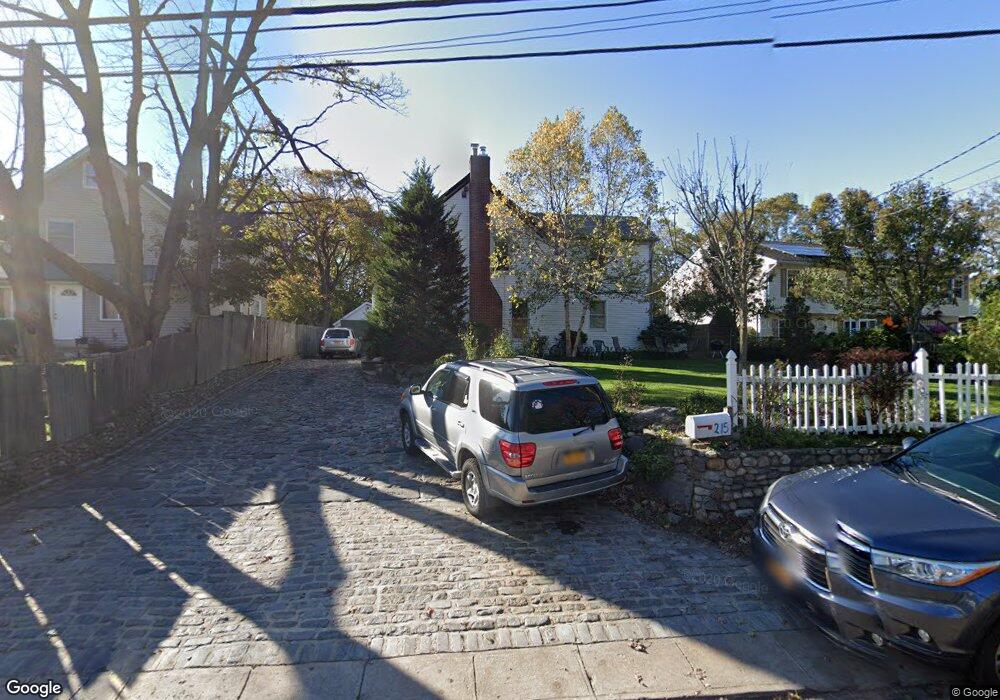
215 5th Ave Huntington Station, NY 11746
Estimated Value: $538,000 - $628,000
--
Bed
--
Bath
--
Sq Ft
0.37
Acres
About This Home
This home is located at 215 5th Ave, Huntington Station, NY 11746 and is currently estimated at $593,133. 215 5th Ave is a home located in Suffolk County with nearby schools including Jefferson Primary School, Woodhull Intermediate School, and J Taylor Finley Middle School.
Ownership History
Date
Name
Owned For
Owner Type
Purchase Details
Closed on
Nov 14, 2011
Sold by
Galdames Jose D
Bought by
Martinez Karen and Martinez Noe
Current Estimated Value
Purchase Details
Closed on
May 22, 2006
Sold by
Manin Mara S
Bought by
Martinez Noe and Martinez Elisa
Purchase Details
Closed on
Jan 8, 2004
Sold by
Giani Louis D and Giani Rosemarie
Bought by
Manin Mara S
Home Financials for this Owner
Home Financials are based on the most recent Mortgage that was taken out on this home.
Original Mortgage
$273,750
Interest Rate
5%
Mortgage Type
Purchase Money Mortgage
Create a Home Valuation Report for This Property
The Home Valuation Report is an in-depth analysis detailing your home's value as well as a comparison with similar homes in the area
Home Values in the Area
Average Home Value in this Area
Purchase History
| Date | Buyer | Sale Price | Title Company |
|---|---|---|---|
| Martinez Karen | -- | -- | |
| Martinez Noe | $400,000 | Milagros Rogers | |
| Manin Mara S | $400,000 | Titleserv Inc |
Source: Public Records
Mortgage History
| Date | Status | Borrower | Loan Amount |
|---|---|---|---|
| Previous Owner | Manin Mara S | $273,750 |
Source: Public Records
Tax History Compared to Growth
Tax History
| Year | Tax Paid | Tax Assessment Tax Assessment Total Assessment is a certain percentage of the fair market value that is determined by local assessors to be the total taxable value of land and additions on the property. | Land | Improvement |
|---|---|---|---|---|
| 2024 | $6,918 | $1,700 | $300 | $1,400 |
| 2023 | $3,459 | $1,700 | $300 | $1,400 |
| 2022 | $6,876 | $1,700 | $300 | $1,400 |
| 2021 | $6,806 | $1,700 | $300 | $1,400 |
| 2020 | $6,723 | $1,700 | $300 | $1,400 |
| 2019 | $13,446 | $0 | $0 | $0 |
| 2018 | $6,387 | $1,700 | $300 | $1,400 |
| 2017 | $6,387 | $1,700 | $300 | $1,400 |
| 2016 | $6,312 | $1,700 | $300 | $1,400 |
| 2015 | -- | $1,700 | $300 | $1,400 |
| 2014 | -- | $1,700 | $300 | $1,400 |
Source: Public Records
Map
Nearby Homes
- 30 3rd Ave
- 137 Columbia St
- 19 W 11th St
- 160 Mckay Rd Unit A and B
- 92 Columbia St
- 128 Winding St
- 43 Columbia St
- 57 E Pulaski Rd
- 24 Columbia St
- 26 E 12th St
- 12 Terrace Dr
- 280 Lowndes Ave Unit 111G
- 280 Lowndes Ave Unit 305G
- 280 Lowndes Ave Unit 208
- 200 Lowndes Ave Unit A
- 49 Tower St
- 55 9th Ave
- 0 Tower St
- 0 E 12th St
- 53 E 13th St