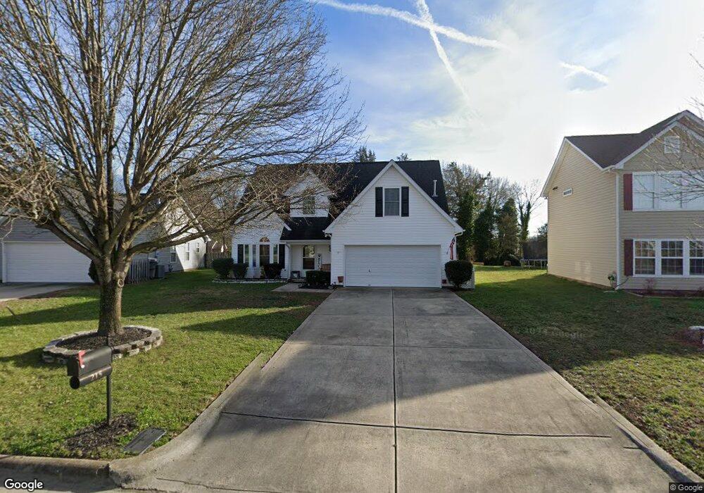
215 Ashmont Dr Kannapolis, NC 28081
Estimated Value: $342,640 - $380,000
3
Beds
3
Baths
1,906
Sq Ft
$186/Sq Ft
Est. Value
About This Home
This home is located at 215 Ashmont Dr, Kannapolis, NC 28081 and is currently estimated at $355,410, approximately $186 per square foot. 215 Ashmont Dr is a home located in Cabarrus County with nearby schools including Winecoff Elementary School, Northwest Cabarrus Middle School, and Northwest Cabarrus High.
Ownership History
Date
Name
Owned For
Owner Type
Purchase Details
Closed on
Oct 30, 2015
Sold by
Hurst Keith L and Hurst Danielle Marie
Bought by
Hall Clinton Ray
Current Estimated Value
Home Financials for this Owner
Home Financials are based on the most recent Mortgage that was taken out on this home.
Original Mortgage
$153,000
Outstanding Balance
$120,420
Interest Rate
3.89%
Mortgage Type
VA
Estimated Equity
$234,990
Purchase Details
Closed on
Oct 31, 2003
Sold by
Randall Homes Inc
Bought by
Hurst Keith L
Home Financials for this Owner
Home Financials are based on the most recent Mortgage that was taken out on this home.
Original Mortgage
$120,000
Interest Rate
6.03%
Mortgage Type
Purchase Money Mortgage
Create a Home Valuation Report for This Property
The Home Valuation Report is an in-depth analysis detailing your home's value as well as a comparison with similar homes in the area
Home Values in the Area
Average Home Value in this Area
Purchase History
| Date | Buyer | Sale Price | Title Company |
|---|---|---|---|
| Hall Clinton Ray | $153,000 | None Available | |
| Hurst Keith L | $154,000 | -- |
Source: Public Records
Mortgage History
| Date | Status | Borrower | Loan Amount |
|---|---|---|---|
| Open | Hall Clinton Ray | $153,000 | |
| Previous Owner | Hurst Keith L | $120,000 |
Source: Public Records
Tax History Compared to Growth
Tax History
| Year | Tax Paid | Tax Assessment Tax Assessment Total Assessment is a certain percentage of the fair market value that is determined by local assessors to be the total taxable value of land and additions on the property. | Land | Improvement |
|---|---|---|---|---|
| 2025 | $3,100 | $318,020 | $65,000 | $253,020 |
| 2024 | $3,100 | $318,020 | $65,000 | $253,020 |
| 2023 | $2,259 | $209,860 | $45,000 | $164,860 |
| 2022 | $2,259 | $209,860 | $45,000 | $164,860 |
| 2021 | $2,861 | $209,860 | $45,000 | $164,860 |
| 2020 | $2,861 | $208,840 | $45,000 | $163,840 |
| 2019 | $2,059 | $150,270 | $22,000 | $128,270 |
| 2018 | $2,029 | $150,270 | $22,000 | $128,270 |
| 2017 | $1,999 | $150,270 | $22,000 | $128,270 |
| 2016 | $1,999 | $139,430 | $22,000 | $117,430 |
| 2015 | $1,757 | $139,430 | $22,000 | $117,430 |
| 2014 | $1,757 | $139,430 | $22,000 | $117,430 |
Source: Public Records
Map
Nearby Homes
- 128 Greenview Dr
- 135 Greenview Dr
- 251 Briarcliff Dr
- 210 Cliffside Dr
- 301 Briarcliff Dr
- 105 Ashmont Dr Unit 1
- 626 Flicker St
- 325 Briarcliff Dr
- 103 Carriage House Dr
- 2116 S Main St
- 307 Meadowood Cir
- 2448 Spruce St
- 2617 Shady Lane Ave
- 625 Fisher St
- 2301 S Ridge Ave
- 000 S Main St
- 729 Fisher St
- 2770 Thistle Brook Dr
- 1656 Heather Glen Rd
- Sierra Plan at Hedgecliff Townes
- 211R Ashmont Dr
- 211 Ashmont Dr
- 219 Ashmont Dr
- 207 Ashmont Dr
- 223 Ashmont Dr
- 126 Greenview Dr
- 203 Ashmont Dr
- 210 Ashmont Dr
- 101 Newport Dr
- 214 Ashmont Dr
- 206 Ashmont Dr
- 124 Greenview Dr
- 130 Greenview Dr
- 202 Ashmont Dr
- 105 Newport Dr
- 300 Ashmont Dr
- 195 Ashmont Dr
- 198 Ashmont Dr
- 122 Greenview Dr
- 109 Newport Dr