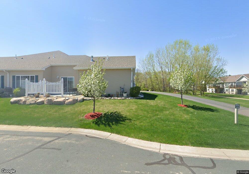
215 Kings Pointe Dr Delano, MN 55328
Estimated Value: $432,000 - $526,000
3
Beds
3
Baths
2,882
Sq Ft
$161/Sq Ft
Est. Value
About This Home
This home is located at 215 Kings Pointe Dr, Delano, MN 55328 and is currently estimated at $464,739, approximately $161 per square foot. 215 Kings Pointe Dr is a home located in Wright County with nearby schools including Delano Elementary School, Delano Middle School, and Delano Senior High School.
Ownership History
Date
Name
Owned For
Owner Type
Purchase Details
Closed on
May 28, 2025
Sold by
Martin Kent and Martin Linda
Bought by
Linda S Martin Living Trust and Martin
Current Estimated Value
Purchase Details
Closed on
Dec 11, 2020
Sold by
Jp Brooks Inc
Bought by
Martin Kent and Martin Linda
Purchase Details
Closed on
Sep 27, 2018
Sold by
Arbor Creek Holdings Llc
Bought by
Jp Brooks Inc
Create a Home Valuation Report for This Property
The Home Valuation Report is an in-depth analysis detailing your home's value as well as a comparison with similar homes in the area
Home Values in the Area
Average Home Value in this Area
Purchase History
| Date | Buyer | Sale Price | Title Company |
|---|---|---|---|
| Linda S Martin Living Trust | $500 | None Listed On Document | |
| Martin Kent | $393,506 | Network Title Inc | |
| Jp Brooks Inc | -- | Liberty Title | |
| Arbor Creek Holdings Llc | $68,000 | Liberty Title Inc | |
| Martin Kent Kent | $393,500 | -- |
Source: Public Records
Tax History Compared to Growth
Tax History
| Year | Tax Paid | Tax Assessment Tax Assessment Total Assessment is a certain percentage of the fair market value that is determined by local assessors to be the total taxable value of land and additions on the property. | Land | Improvement |
|---|---|---|---|---|
| 2025 | $5,178 | $451,800 | $32,000 | $419,800 |
| 2024 | $5,094 | $434,400 | $31,000 | $403,400 |
| 2023 | $5,094 | $430,700 | $31,000 | $399,700 |
| 2022 | $5,376 | $403,000 | $31,000 | $372,000 |
| 2021 | $2,878 | $373,900 | $26,000 | $347,900 |
| 2020 | $420 | $196,500 | $25,000 | $171,500 |
| 2019 | $386 | $22,500 | $0 | $0 |
| 2018 | $348 | $20,000 | $0 | $0 |
| 2017 | $348 | $18,000 | $0 | $0 |
| 2016 | $358 | $0 | $0 | $0 |
| 2015 | $294 | $0 | $0 | $0 |
| 2014 | -- | $0 | $0 | $0 |
Source: Public Records
Map
Nearby Homes
- 932 Crossing Way
- 257 6th St NW
- 428 Saint Peter Ave E
- 1234 Willowbrook Cir
- 1257 Willowbrook Cir
- 108 Shadywood Ln
- 120 2nd St N
- 327 4th St N
- xxxx Lincoln St
- 1216 Northwood Dr
- 9560 Us Highway 12
- 316 2nd St N
- 679 Marsh Dr
- 9414 U S 12
- 1401 Woods Creek Dr
- 986 Eastwood Cir
- 1157 Woods Creek Dr
- 916 Big Woods Dr
- 1170 Woods Creek Dr S
- 897 Big Woods Dr
- 221 Kings Pointe Dr
- 209 Kings Pointe Dr
- 227 Kings Pointe Dr
- 239 Kings Pointe Dr
- 233 Kings Pointe Dr
- 793 Rockford Ave E
- 791 Rockford Ave E
- 795 Rockford Ave E
- 789 Rockford Ave E
- 245 Kings Pointe Dr
- 787 Rockford Ave E
- 212 Kings Pointe Dr
- 206 Kings Pointe Dr
- 785 Rockford Ave E
- 251 Kings Pointe Dr
- 190 Kings Pointe Dr
- 230 Kings Pointe Dr
- 783 Rockford Ave E
- 190 Kings Pointe Dr
- 611 Freeman Ave S Unit 2 LOWER