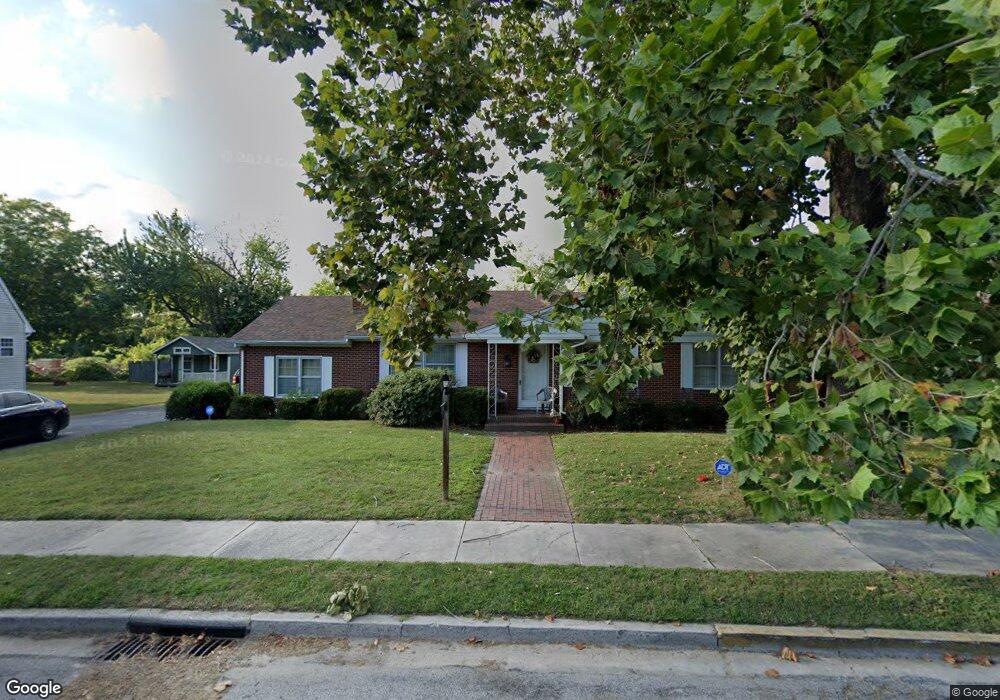
215 Oakdale Rd Unit 1 Salisbury, MD 21801
Newtown-North Division NeighborhoodEstimated Value: $205,858 - $301,000
--
Bed
2
Baths
1,770
Sq Ft
$145/Sq Ft
Est. Value
About This Home
This home is located at 215 Oakdale Rd Unit 1, Salisbury, MD 21801 and is currently estimated at $256,215, approximately $144 per square foot. 215 Oakdale Rd Unit 1 is a home located in Wicomico County with nearby schools including West Salisbury Elementary School, North Salisbury Elementary School, and Salisbury Middle School.
Ownership History
Date
Name
Owned For
Owner Type
Purchase Details
Closed on
Jun 21, 2024
Sold by
Douglas Lois
Bought by
Foster Mia
Current Estimated Value
Purchase Details
Closed on
Oct 20, 2015
Sold by
Hancock Wyne M
Bought by
Douglas Lois Eugenia
Home Financials for this Owner
Home Financials are based on the most recent Mortgage that was taken out on this home.
Original Mortgage
$135,850
Interest Rate
3.88%
Mortgage Type
Purchase Money Mortgage
Create a Home Valuation Report for This Property
The Home Valuation Report is an in-depth analysis detailing your home's value as well as a comparison with similar homes in the area
Home Values in the Area
Average Home Value in this Area
Purchase History
| Date | Buyer | Sale Price | Title Company |
|---|---|---|---|
| Foster Mia | -- | None Listed On Document | |
| Foster Mia | -- | None Listed On Document | |
| Douglas Lois Eugenia | $143,000 | Attorney |
Source: Public Records
Mortgage History
| Date | Status | Borrower | Loan Amount |
|---|---|---|---|
| Previous Owner | Douglas Lois Eugenia | $135,850 |
Source: Public Records
Tax History Compared to Growth
Tax History
| Year | Tax Paid | Tax Assessment Tax Assessment Total Assessment is a certain percentage of the fair market value that is determined by local assessors to be the total taxable value of land and additions on the property. | Land | Improvement |
|---|---|---|---|---|
| 2025 | $1,181 | $130,067 | $0 | $0 |
| 2024 | $1,181 | $123,200 | $32,500 | $90,700 |
| 2023 | $1,218 | $122,133 | $0 | $0 |
| 2022 | $1,234 | $121,067 | $0 | $0 |
| 2021 | $1,233 | $120,000 | $32,500 | $87,500 |
| 2020 | $1,233 | $119,567 | $0 | $0 |
| 2019 | $1,247 | $119,133 | $0 | $0 |
| 2018 | $2,436 | $118,700 | $32,500 | $86,200 |
| 2017 | $2,291 | $111,600 | $0 | $0 |
| 2016 | -- | $104,500 | $0 | $0 |
| 2015 | $2,434 | $97,400 | $0 | $0 |
| 2014 | $2,434 | $97,400 | $0 | $0 |
Source: Public Records
Map
Nearby Homes
- 601 Lakeside Dr
- LOT D4 International Dr
- 403 Rose St
- 416 Rose St
- 701 Lake St Unit 1
- 309 Gay St
- 400 Lake St
- 304 Poplar Hill Ave
- 304 Brooklyn Ave
- 902 Lake St
- 313 W London Ave
- 322 Naylor St
- 317 Delaware Ave
- 731 N Westover Dr
- 735 N Westover Dr
- 609 Germania Cir
- 616 1 W Main St
- 716 Olivia St
- 309 Marshall St
- 1313 Westchester St
- 219 Oakdale Rd
- 213 Oakdale Rd
- 208 Oakdale Rd
- 212 Oakdale Rd Unit 2
- 705 Ferndale Rd
- 207 Oakdale Rd Unit 3
- 221 Oakdale Rd
- 223 Oakdale Rd Unit 1
- 707 Ferndale Rd
- 504 Park Ave Unit 1
- 508 Park Ave Unit 1
- 709 Ferndale Rd
- 504 Park Avenue 1
- 611 Lakeside Dr
- 711 Ferndale Rd
- 203 Oakdale Rd
- 609 Lakeside Dr
- 500 Park Ave Unit 1
- 713 Ferndale Rd
- 708 Ferndale Rd