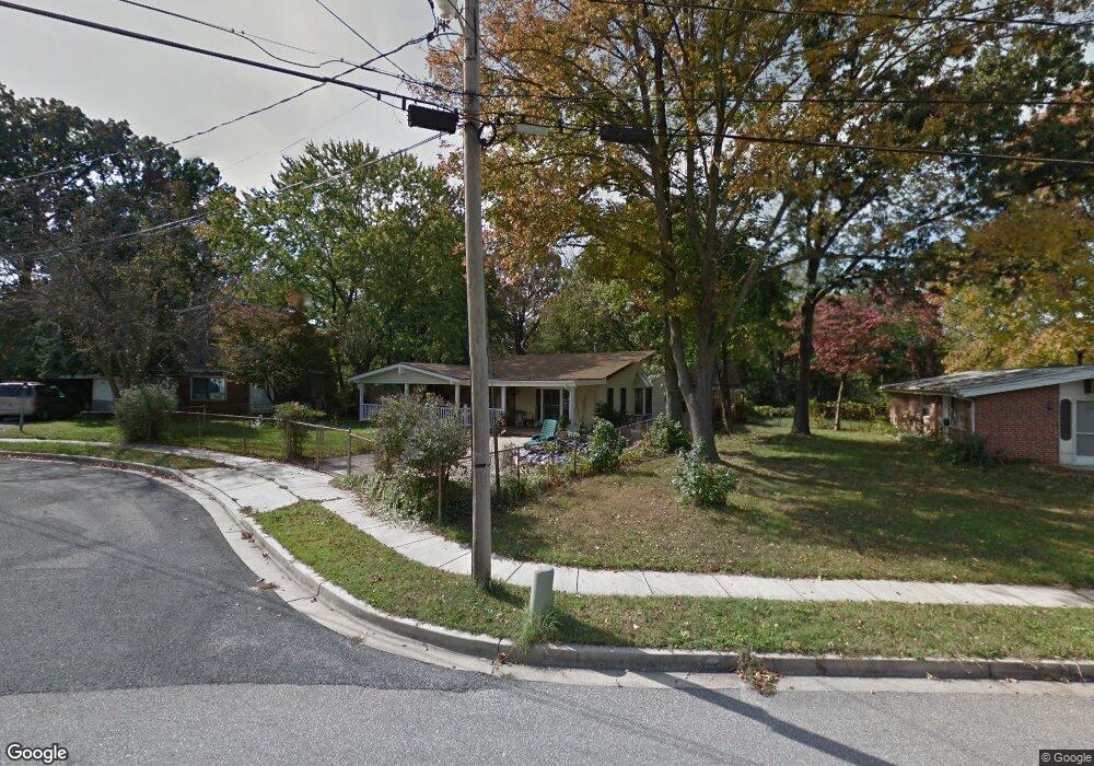
215 Saint James Dr Glen Burnie, MD 21061
Estimated Value: $328,000 - $421,000
--
Bed
1
Bath
1,849
Sq Ft
$200/Sq Ft
Est. Value
About This Home
This home is located at 215 Saint James Dr, Glen Burnie, MD 21061 and is currently estimated at $369,797, approximately $199 per square foot. 215 Saint James Dr is a home located in Anne Arundel County with nearby schools including Oakwood Elementary School, Corkran Middle School, and Glen Burnie High School.
Ownership History
Date
Name
Owned For
Owner Type
Purchase Details
Closed on
Sep 23, 2025
Sold by
Hayes Charlotte Ann
Bought by
Aj Realty Llc
Current Estimated Value
Home Financials for this Owner
Home Financials are based on the most recent Mortgage that was taken out on this home.
Original Mortgage
$280,000
Outstanding Balance
$257,338
Interest Rate
6.35%
Mortgage Type
Construction
Estimated Equity
$112,459
Purchase Details
Closed on
Feb 18, 2000
Sold by
Hayes David C
Bought by
Hayes Charlotte A
Create a Home Valuation Report for This Property
The Home Valuation Report is an in-depth analysis detailing your home's value as well as a comparison with similar homes in the area
Home Values in the Area
Average Home Value in this Area
Purchase History
| Date | Buyer | Sale Price | Title Company |
|---|---|---|---|
| Aj Realty Llc | $300,000 | Assurance Title | |
| Hayes Charlotte A | -- | -- |
Source: Public Records
Mortgage History
| Date | Status | Borrower | Loan Amount |
|---|---|---|---|
| Open | Aj Realty Llc | $280,000 |
Source: Public Records
Tax History Compared to Growth
Tax History
| Year | Tax Paid | Tax Assessment Tax Assessment Total Assessment is a certain percentage of the fair market value that is determined by local assessors to be the total taxable value of land and additions on the property. | Land | Improvement |
|---|---|---|---|---|
| 2025 | $2,638 | $319,900 | $153,000 | $166,900 |
| 2024 | $2,638 | $296,667 | $0 | $0 |
| 2023 | $2,542 | $273,433 | $0 | $0 |
| 2022 | $2,615 | $250,200 | $138,000 | $112,200 |
| 2021 | $2,244 | $247,433 | $0 | $0 |
| 2020 | $2,244 | $244,667 | $0 | $0 |
| 2019 | $2,211 | $241,900 | $133,000 | $108,900 |
| 2018 | $2,301 | $226,967 | $0 | $0 |
| 2017 | $2,069 | $212,033 | $0 | $0 |
| 2016 | -- | $197,100 | $0 | $0 |
| 2015 | -- | $193,800 | $0 | $0 |
| 2014 | -- | $190,500 | $0 | $0 |
Source: Public Records
Map
Nearby Homes
- 203 Buckingham Dr
- 1423 Braden Loop
- 1475 Braden Loop
- 308 Aquahart Rd
- 1324 Ray Ln
- 409 Aquahart Rd
- 112 Kindred Way
- 4 Ridgely Rd
- 267 Truck Farm Dr
- 615 Carolyn Rd
- 612 Carolyn Rd
- 227 Truck Farm Dr
- 306 Woodleaf Ct
- 118 Heather Stone Way Unit 80
- 7685 Quarterfield Rd
- 7818 Oakwood Rd
- 262 Woodoak Ct
- 607 Marshall Rd
- 251 Oakview Village Dr
- 125 Range Rd
- 213 Saint James Dr
- 217 Saint James Dr
- 1121 Nottingham Dr
- 219 Saint James Dr
- 1119 Nottingham Dr
- 211 Saint James Dr
- 1117 Nottingham Dr
- 1123 Nottingham Dr
- 221 Saint James Dr
- 209 Saint James Dr
- 204 Saint James Dr
- 102 King George Dr
- 104 King George Dr
- 206 Saint James Dr
- 1115 Nottingham Dr
- 1125 Nottingham Dr
- 106 King George Dr
- 1127 Nottingham Dr
- 202 Saint James Dr
- 208 Saint James Dr