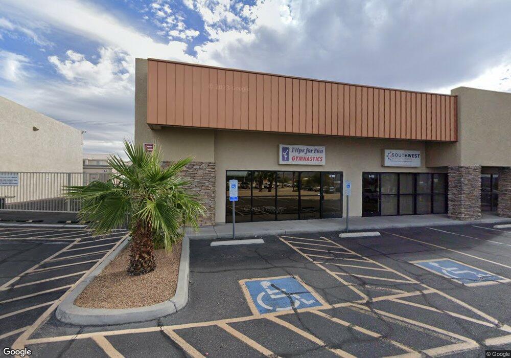
2150 Kiowa Blvd N Unit A-102 Lake Havasu City, AZ 86403
Estimated Value: $221,551 - $229,000
--
Bed
--
Bath
9,986
Sq Ft
$23/Sq Ft
Est. Value
About This Home
This home is located at 2150 Kiowa Blvd N Unit A-102, Lake Havasu City, AZ 86403 and is currently estimated at $225,517, approximately $22 per square foot. 2150 Kiowa Blvd N Unit A-102 is a home located in Mohave County with nearby schools including Nautilus Elementary School, Thunderbolt Middle School, and Lake Havasu High School.
Ownership History
Date
Name
Owned For
Owner Type
Purchase Details
Closed on
Jul 28, 2016
Sold by
Downing Steven
Bought by
Hooper Alen L
Current Estimated Value
Home Financials for this Owner
Home Financials are based on the most recent Mortgage that was taken out on this home.
Original Mortgage
$94,900
Outstanding Balance
$75,914
Interest Rate
3.56%
Mortgage Type
Seller Take Back
Estimated Equity
$149,603
Purchase Details
Closed on
May 5, 2005
Sold by
Kiowa Plaza Associates Llc
Bought by
Ballard John L and Ballard Suzanne M
Create a Home Valuation Report for This Property
The Home Valuation Report is an in-depth analysis detailing your home's value as well as a comparison with similar homes in the area
Home Values in the Area
Average Home Value in this Area
Purchase History
| Date | Buyer | Sale Price | Title Company |
|---|---|---|---|
| Hooper Alen L | -- | Stewart Title Arizona Agency | |
| Hooper Alen L | $99,900 | Stewart Title Arizona Agency | |
| Ballard John L | $180,000 | State Title Agency Inc |
Source: Public Records
Mortgage History
| Date | Status | Borrower | Loan Amount |
|---|---|---|---|
| Open | Hooper Alen L | $94,900 |
Source: Public Records
Tax History Compared to Growth
Tax History
| Year | Tax Paid | Tax Assessment Tax Assessment Total Assessment is a certain percentage of the fair market value that is determined by local assessors to be the total taxable value of land and additions on the property. | Land | Improvement |
|---|---|---|---|---|
| 2026 | $1,417 | -- | -- | -- |
| 2025 | $1,480 | $38,359 | $0 | $0 |
| 2024 | $1,480 | $27,529 | $0 | $0 |
| 2023 | $1,480 | $11,979 | $0 | $0 |
| 2022 | $1,458 | $11,350 | $0 | $0 |
| 2021 | $1,668 | $9,438 | $0 | $0 |
| 2019 | $1,585 | $20,564 | $0 | $0 |
| 2018 | $1,532 | $22,778 | $0 | $0 |
| 2017 | $1,517 | $21,475 | $0 | $0 |
| 2016 | $1,375 | $20,342 | $0 | $0 |
| 2015 | $1,351 | $12,950 | $0 | $0 |
Source: Public Records
Map
Nearby Homes
- 2148 Sandwood Dr
- 2183 Runabout Dr
- 2205 Sandwood Dr
- 2211 Sandwood Dr
- 2050 Kiowa Blvd N
- 2162 Runabout Dr
- 2212 Kiowa Blvd N Unit 227
- 2212 Kiowa Blvd N Unit 105
- 2212 Kiowa Blvd N Unit 117
- 2212 Kiowa Blvd N Unit 123
- 1541 Holly Ave
- 1911 Holly Ave
- 1901 Holly Ave
- 0000 Spawr Cir
- 2285 Pennant Ln
- 2312 Palisades Dr
- 2257 Barranca Dr
- 2030 Commander Dr
- 2090 San Juan Dr
- 2395 San Juan Dr
- 2150 Kiowa Blvd N Unit B110
- 2150 Kiowa Blvd N Unit B102
- 2150 Kiowa Blvd N Unit B108
- 2150 Kiowa Blvd N Unit A-108
- 2150 Kiowa Blvd N Unit B100
- 2150 Kiowa Blvd N Unit B104
- 2150 Kiowa Blvd N Unit A110
- 2150 N Kiowa Blvd Stor Bldg C & D
- 2150 N Kiowa Blvd Stor Bldg C & D
- 2149 Sandwood Dr
- 2151 Sandwood Dr
- 2133 Sandwood Dr
- 2124 Kiowa Ave
- 2165 Sandwood Dr
- 2165 Sandwood Dr Unit 102
- 2165 Sandwood Dr Unit 101
- 2165 Sandwood Dr Unit 101/102
- 2117 Sandwood Dr
- 2181 Sandwood Dr Unit 101
- 2181 Sandwood Dr