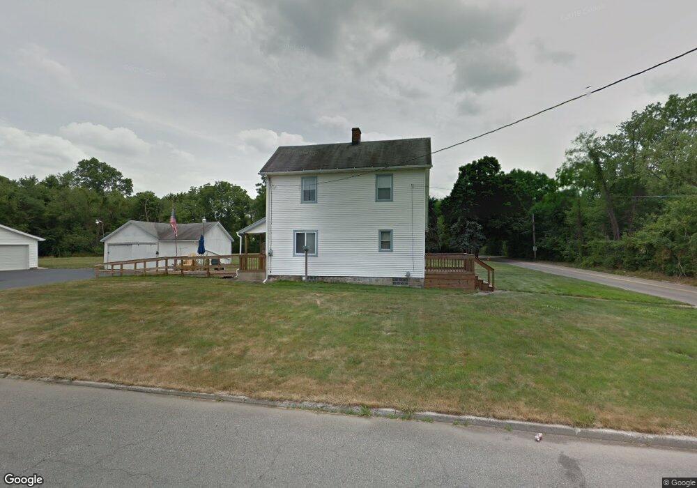
2151 Lansdowne Blvd Youngstown, OH 44505
Landsdowne NeighborhoodEstimated Value: $69,000 - $86,000
3
Beds
1
Bath
1,340
Sq Ft
$58/Sq Ft
Est. Value
About This Home
This home is located at 2151 Lansdowne Blvd, Youngstown, OH 44505 and is currently estimated at $77,708, approximately $57 per square foot. 2151 Lansdowne Blvd is a home located in Mahoning County with nearby schools including M.L. King Elementary School, East High School, and Mahoning County High School.
Ownership History
Date
Name
Owned For
Owner Type
Purchase Details
Closed on
Dec 13, 2002
Sold by
Roth Dale F and Roth Margaret
Bought by
Roth Dale F and Roth Margaret
Current Estimated Value
Home Financials for this Owner
Home Financials are based on the most recent Mortgage that was taken out on this home.
Original Mortgage
$20,000
Outstanding Balance
$8,585
Interest Rate
6.23%
Mortgage Type
Credit Line Revolving
Estimated Equity
$69,123
Purchase Details
Closed on
Mar 28, 1980
Bought by
Roth Dale F
Create a Home Valuation Report for This Property
The Home Valuation Report is an in-depth analysis detailing your home's value as well as a comparison with similar homes in the area
Home Values in the Area
Average Home Value in this Area
Purchase History
| Date | Buyer | Sale Price | Title Company |
|---|---|---|---|
| Roth Dale F | -- | -- | |
| Roth Dale F | -- | -- |
Source: Public Records
Mortgage History
| Date | Status | Borrower | Loan Amount |
|---|---|---|---|
| Open | Roth Dale F | $20,000 |
Source: Public Records
Tax History Compared to Growth
Tax History
| Year | Tax Paid | Tax Assessment Tax Assessment Total Assessment is a certain percentage of the fair market value that is determined by local assessors to be the total taxable value of land and additions on the property. | Land | Improvement |
|---|---|---|---|---|
| 2024 | $9 | $9,620 | $1,410 | $8,210 |
| 2023 | $24 | $9,620 | $1,410 | $8,210 |
| 2022 | $10 | $6,520 | $1,610 | $4,910 |
| 2021 | $10 | $6,520 | $1,610 | $4,910 |
| 2020 | $10 | $6,520 | $1,610 | $4,910 |
| 2019 | $419 | $6,030 | $1,490 | $4,540 |
| 2018 | $423 | $6,030 | $1,490 | $4,540 |
| 2017 | $420 | $6,030 | $1,490 | $4,540 |
| 2016 | $10 | $6,960 | $1,490 | $5,470 |
| 2015 | $9 | $6,960 | $1,490 | $5,470 |
| 2014 | $9 | $6,960 | $1,490 | $5,470 |
| 2013 | $9 | $6,960 | $1,490 | $5,470 |
Source: Public Records
Map
Nearby Homes
- 2160 Lansdowne Blvd
- 0 Homestead Rd
- 1538 Republic Ave
- 3943 Logangate Rd
- 5843 Fairlawn Ave
- 2428 Wydesteel Ave
- 1325 Miami Ave
- 3502 Somerset Dr Unit B
- 1363 Country Club Dr
- 2010 Powder Mill Run
- 0 Powder Mill Run Unit 5127327
- 0 Powder Mill Run Unit 5127333
- 2012 Crestwood Blvd
- 902 Miami St
- 6068 Evans Dr
- 2021 Crestwood Blvd
- V/L Jacobs Rd
- 2417 Elm St Unit 419
- 3712 Logan Way
- 9 Redfern Dr
- 2609 Lansdowne Blvd
- 2731 Homestead Rd
- 3301 Applegate Rd
- 2680 Homestead Rd
- 2676 Homestead Rd
- 2508 Applegate Rd
- 2226 Liberty Rd
- 2815 Applegate Rd
- 2239 Liberty Rd
- 2668 Homestead Rd
- 2220 Liberty Rd
- 2220 Liberty Rd
- 2222 Liberty Rd
- 0 Ravine Unit 1538735
- 0 Lucretia Unit 3064223
- 0 Underwood Unit 3436752
- 0 Glade Unit 3643328
- 1 W Liberty St
- x Motor Inn Dr
- 2814 Applegate Rd