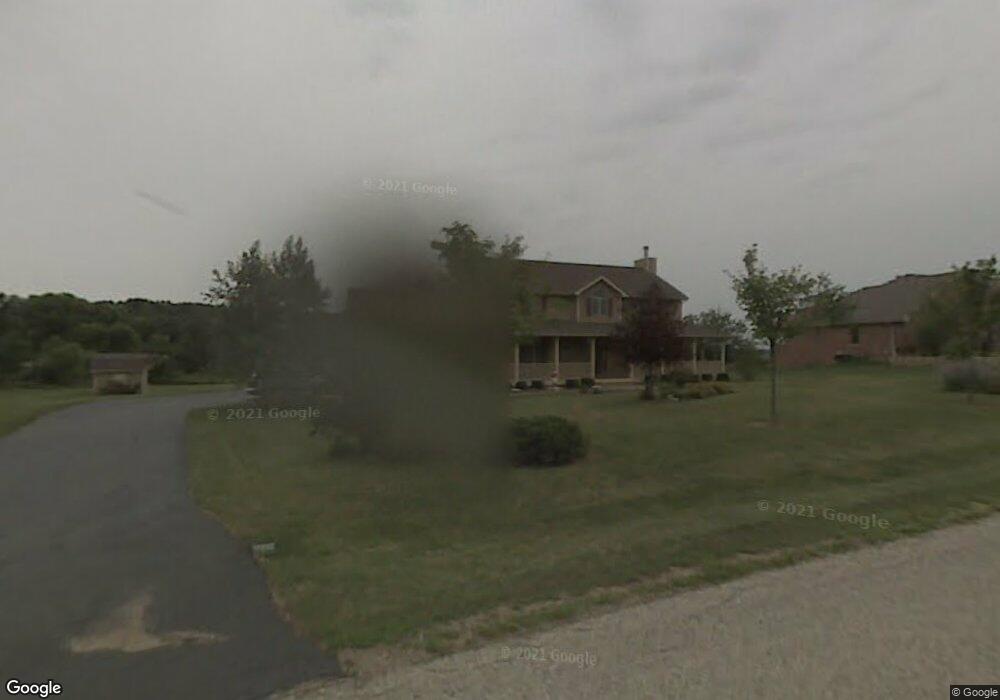
21513 Weiss Trail Marengo, IL 60152
Estimated Value: $486,226 - $598,000
3
Beds
3
Baths
3,038
Sq Ft
$180/Sq Ft
Est. Value
About This Home
This home is located at 21513 Weiss Trail, Marengo, IL 60152 and is currently estimated at $548,057, approximately $180 per square foot. 21513 Weiss Trail is a home located in McHenry County with nearby schools including Riley Community Consolidated School District 18, Marengo Community High School, and Zion Lutheran School.
Ownership History
Date
Name
Owned For
Owner Type
Purchase Details
Closed on
Oct 27, 2006
Sold by
Karlow Brian and Karlow Shannon L
Bought by
Wesemann Randall H and Wesemann Janet L
Current Estimated Value
Purchase Details
Closed on
Jul 9, 1999
Sold by
Karlow Brian
Bought by
Karlow Brian and Karlow Shannon L
Home Financials for this Owner
Home Financials are based on the most recent Mortgage that was taken out on this home.
Original Mortgage
$180,000
Interest Rate
7.43%
Mortgage Type
Construction
Purchase Details
Closed on
Jul 28, 1998
Sold by
Southridge Development Inc
Bought by
Karlow Brian
Create a Home Valuation Report for This Property
The Home Valuation Report is an in-depth analysis detailing your home's value as well as a comparison with similar homes in the area
Home Values in the Area
Average Home Value in this Area
Purchase History
| Date | Buyer | Sale Price | Title Company |
|---|---|---|---|
| Wesemann Randall H | $382,500 | Nlt Title Llc | |
| Karlow Brian | -- | -- | |
| Karlow Brian | $50,000 | -- |
Source: Public Records
Mortgage History
| Date | Status | Borrower | Loan Amount |
|---|---|---|---|
| Previous Owner | Karlow Brian | $180,000 |
Source: Public Records
Tax History Compared to Growth
Tax History
| Year | Tax Paid | Tax Assessment Tax Assessment Total Assessment is a certain percentage of the fair market value that is determined by local assessors to be the total taxable value of land and additions on the property. | Land | Improvement |
|---|---|---|---|---|
| 2024 | $7,743 | $161,280 | $11,020 | $150,260 |
| 2023 | $9,411 | $143,718 | $9,820 | $133,898 |
| 2022 | $9,646 | $131,779 | $9,004 | $122,775 |
| 2021 | $6,843 | $122,096 | $8,342 | $113,754 |
| 2020 | $8,990 | $115,424 | $7,886 | $107,538 |
| 2019 | $9,561 | $110,475 | $7,548 | $102,927 |
| 2018 | $8,856 | $104,001 | $5,806 | $98,195 |
| 2017 | $8,684 | $100,532 | $5,612 | $94,920 |
| 2016 | $9,066 | $96,702 | $5,398 | $91,304 |
| 2013 | -- | $89,081 | $18,308 | $70,773 |
Source: Public Records
Map
Nearby Homes
- 0 Ratfield Rd
- 6715 Meyer Rd
- 7001 Maple St
- 704 Doral Dr Unit 2
- 6212 Meyer Rd
- 720 Cloverleaf Dr
- 730 Cloverleaf Dr
- 6211 Maple St Unit 501
- 1210 Maplewood Dr
- 1200 Maplewood Dr
- 935 Courtney Ln
- Paxton Plan at Brookside Meadows
- 832 Oak Manor Dr
- 615 Park Dr
- 579 Johnson St
- 479 Kennedy St
- 455 Park Dr
- 459 Kennedy St
- 0 Maple St
- 422 Damen St
- 21517 Weiss Trail
- 21503 Weiss Trail
- 6702 Hennig Dr
- 21516 Weiss Trail
- 21419 Weiss Trail
- 21420 Weiss Trail
- 6708 Hennig Dr
- 21413 Weiss Trail
- 7212 Paulson Dr
- 21414 Weiss Trail
- 7202 Paulson Dr
- 6712 Hennig Dr
- 6714 Hennig Dr
- 6811 Hennig Dr
- 6718 Hennig Dr
- 6817 Hennig Dr
- 6802 Hennig Dr
- 7017 Hennig Dr
- 7116 Paulson Dr
- 7013 Hennig Dr