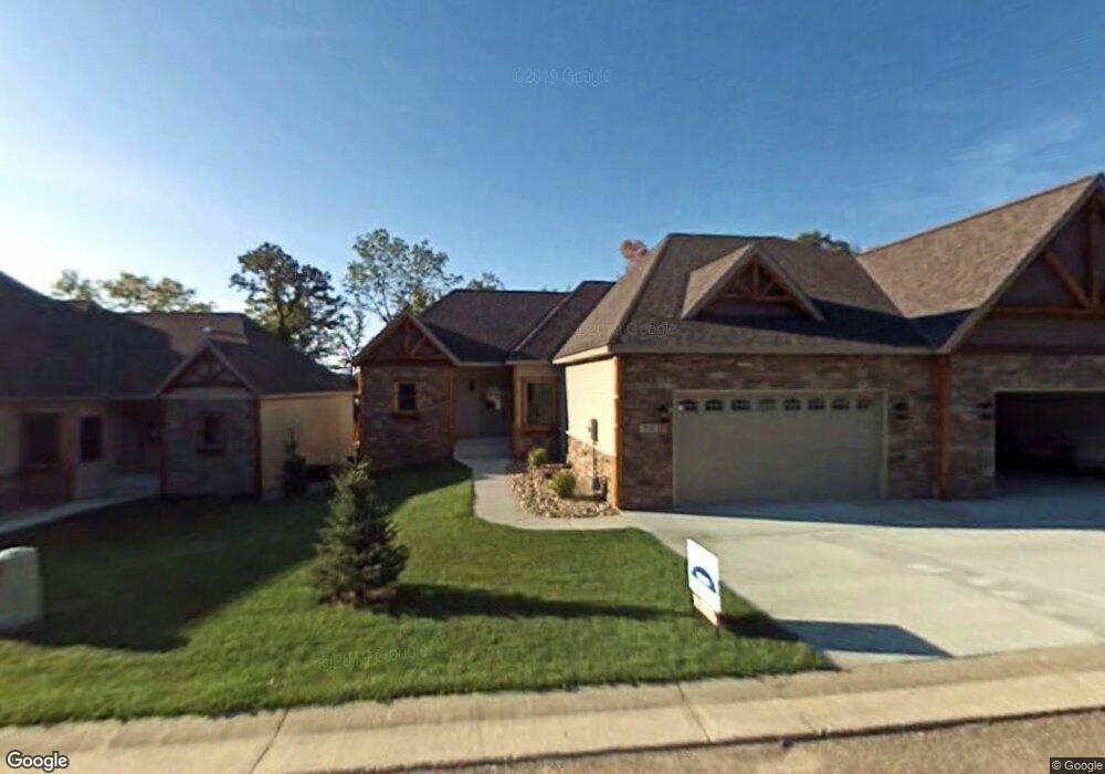
2156 Shady Ln Detroit Lakes, MN 56501
Estimated Value: $461,000 - $655,357
--
Bed
2
Baths
1,510
Sq Ft
$380/Sq Ft
Est. Value
About This Home
This home is located at 2156 Shady Ln, Detroit Lakes, MN 56501 and is currently estimated at $573,339, approximately $379 per square foot. 2156 Shady Ln is a home with nearby schools including Detroit Lakes Senior High School.
Ownership History
Date
Name
Owned For
Owner Type
Purchase Details
Closed on
Oct 1, 2011
Sold by
Security Bank & Trust Co
Bought by
Wickum William R and Wickum Deborah
Current Estimated Value
Home Financials for this Owner
Home Financials are based on the most recent Mortgage that was taken out on this home.
Original Mortgage
$196,000
Outstanding Balance
$123,795
Interest Rate
2.62%
Mortgage Type
Adjustable Rate Mortgage/ARM
Estimated Equity
$449,544
Purchase Details
Closed on
May 19, 2011
Sold by
Sauk River Estates Lklc
Bought by
Security Bank & Trust Co
Purchase Details
Closed on
Jun 22, 2007
Sold by
Morland Inc
Bought by
Sauk River Estates Llc
Home Financials for this Owner
Home Financials are based on the most recent Mortgage that was taken out on this home.
Original Mortgage
$360,000
Interest Rate
6.42%
Mortgage Type
Construction
Create a Home Valuation Report for This Property
The Home Valuation Report is an in-depth analysis detailing your home's value as well as a comparison with similar homes in the area
Home Values in the Area
Average Home Value in this Area
Purchase History
| Date | Buyer | Sale Price | Title Company |
|---|---|---|---|
| Wickum William R | $245,000 | Becker County Title Svcs Inc | |
| Security Bank & Trust Co | -- | None Available | |
| Sauk River Estates Llc | -- | Tri County Abstract & Title |
Source: Public Records
Mortgage History
| Date | Status | Borrower | Loan Amount |
|---|---|---|---|
| Open | Wickum William R | $196,000 | |
| Previous Owner | Sauk River Estates Llc | $360,000 |
Source: Public Records
Tax History Compared to Growth
Tax History
| Year | Tax Paid | Tax Assessment Tax Assessment Total Assessment is a certain percentage of the fair market value that is determined by local assessors to be the total taxable value of land and additions on the property. | Land | Improvement |
|---|---|---|---|---|
| 2025 | $6,344 | $631,200 | $157,300 | $473,900 |
| 2024 | $5,936 | $587,200 | $132,200 | $455,000 |
| 2023 | $5,414 | $509,300 | $122,600 | $386,700 |
| 2022 | $4,958 | $426,600 | $105,900 | $320,700 |
| 2021 | $4,846 | $416,200 | $105,100 | $311,100 |
| 2020 | $4,668 | $416,200 | $105,100 | $311,100 |
| 2019 | $4,844 | $397,100 | $101,500 | $295,600 |
| 2018 | $4,032 | $393,400 | $101,500 | $291,900 |
| 2017 | $3,438 | $363,000 | $85,400 | $277,600 |
| 2016 | $3,248 | $297,400 | $85,400 | $212,000 |
| 2015 | $2,936 | $256,200 | $74,300 | $181,900 |
| 2014 | -- | $249,500 | $74,300 | $175,200 |
Source: Public Records
Map
Nearby Homes
- 2136 Shady Ln
- 2131 Memory Ln
- 1836 Bridgeview Blvd
- 1986 Long Bridge Rd
- 1278 Bay Ridge Dr
- 1127 Doris Kohler Cir
- 604 S Shore Dr
- 1841 Kemberidge Rd
- 656 Lake Forest Cir
- 248 Shorewood Dr
- 2123 270th Ave
- TBD 130th St
- 800 Lake Forest Cir
- 717 S Shore Dr
- 324 Shorewood Cir
- 910 Lake Forest Cir
- 1540 Us Highway 59
- 769 Lake Forest Cir
- 798 S Shore Dr
- 1077 S Shore Dr