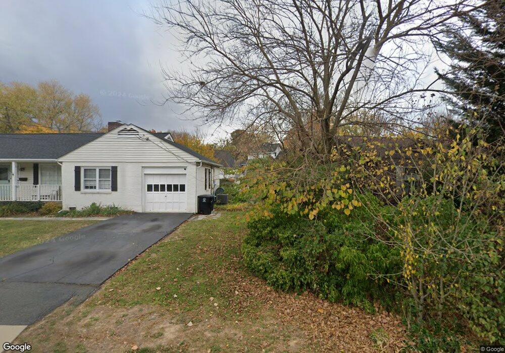
216 Browns Meadow Ct NE Leesburg, VA 20176
Estimated Value: $773,000 - $849,000
3
Beds
3
Baths
1,976
Sq Ft
$419/Sq Ft
Est. Value
About This Home
This home is located at 216 Browns Meadow Ct NE, Leesburg, VA 20176 and is currently estimated at $827,086, approximately $418 per square foot. 216 Browns Meadow Ct NE is a home located in Loudoun County with nearby schools including Leesburg Elementary School, Smart's Mill Middle School, and Tuscarora High School.
Ownership History
Date
Name
Owned For
Owner Type
Purchase Details
Closed on
Mar 25, 2002
Sold by
Mays Robert T
Bought by
Remuzzi Rachael
Current Estimated Value
Home Financials for this Owner
Home Financials are based on the most recent Mortgage that was taken out on this home.
Original Mortgage
$256,000
Outstanding Balance
$105,809
Interest Rate
6.91%
Mortgage Type
New Conventional
Estimated Equity
$721,277
Create a Home Valuation Report for This Property
The Home Valuation Report is an in-depth analysis detailing your home's value as well as a comparison with similar homes in the area
Home Values in the Area
Average Home Value in this Area
Purchase History
| Date | Buyer | Sale Price | Title Company |
|---|---|---|---|
| Remuzzi Rachael | $320,000 | -- |
Source: Public Records
Mortgage History
| Date | Status | Borrower | Loan Amount |
|---|---|---|---|
| Open | Remuzzi Rachael | $256,000 |
Source: Public Records
Tax History Compared to Growth
Tax History
| Year | Tax Paid | Tax Assessment Tax Assessment Total Assessment is a certain percentage of the fair market value that is determined by local assessors to be the total taxable value of land and additions on the property. | Land | Improvement |
|---|---|---|---|---|
| 2025 | $6,294 | $781,860 | $280,300 | $501,560 |
| 2024 | $6,579 | $760,520 | $260,300 | $500,220 |
| 2023 | $6,185 | $706,880 | $245,300 | $461,580 |
| 2022 | $5,854 | $657,760 | $220,300 | $437,460 |
| 2021 | $5,729 | $584,560 | $202,700 | $381,860 |
| 2020 | $5,607 | $541,690 | $182,700 | $358,990 |
| 2019 | $5,582 | $534,140 | $182,700 | $351,440 |
| 2018 | $5,615 | $517,470 | $152,700 | $364,770 |
| 2017 | $5,635 | $500,910 | $152,700 | $348,210 |
| 2016 | $5,777 | $504,520 | $0 | $0 |
| 2015 | $910 | $344,690 | $0 | $344,690 |
| 2014 | $850 | $311,740 | $0 | $311,740 |
Source: Public Records
Map
Nearby Homes
- 216 Wildman St NE
- 276 Ariel Dr NE
- 293 Ariel Dr NE
- BIRKHALL Plan at Brickyard
- HIGHGROVE Plan at Brickyard
- BALMORAL Plan at Brickyard
- 710 North St NE
- 222 Wirt St NW
- 5 Stationmaster St SE Unit 202
- 202 Murdoch Square SE
- 2 Stationmaster St SE Unit 302
- 3 Stationmaster St SE Unit 402
- 265 High Rail Terrace SE
- 411 Bicksler Square SE
- 414 Madison Ct SE
- 459 Kornblau Terrace SE
- 125 Chesterfield Place SW
- 514 Covington Terrace NE
- 135 Oak View Dr SE
- 118 Fort Evans Rd SE Unit C
- 214 Browns Meadow Ct NE
- 135 Woodberry Rd NE
- 139 Woodberry Rd NE
- 229 North St NE
- 231 North St NE
- 218 Browns Meadow Ct NE
- 227 North St NE
- 131 Woodberry Rd NE
- 212 Browns Meadow Ct NE
- 225 North St NE
- 138 Woodberry Rd NE
- 223 North St NE
- 134 Woodberry Rd NE
- 210 Browns Meadow Ct NE
- 140 Woodberry Rd NE
- 219 Browns Meadow Ct NE
- 208 Browns Meadow Ct NE
- 230 North St NE
- 125 Woodberry Rd NE
- 228 North St NE