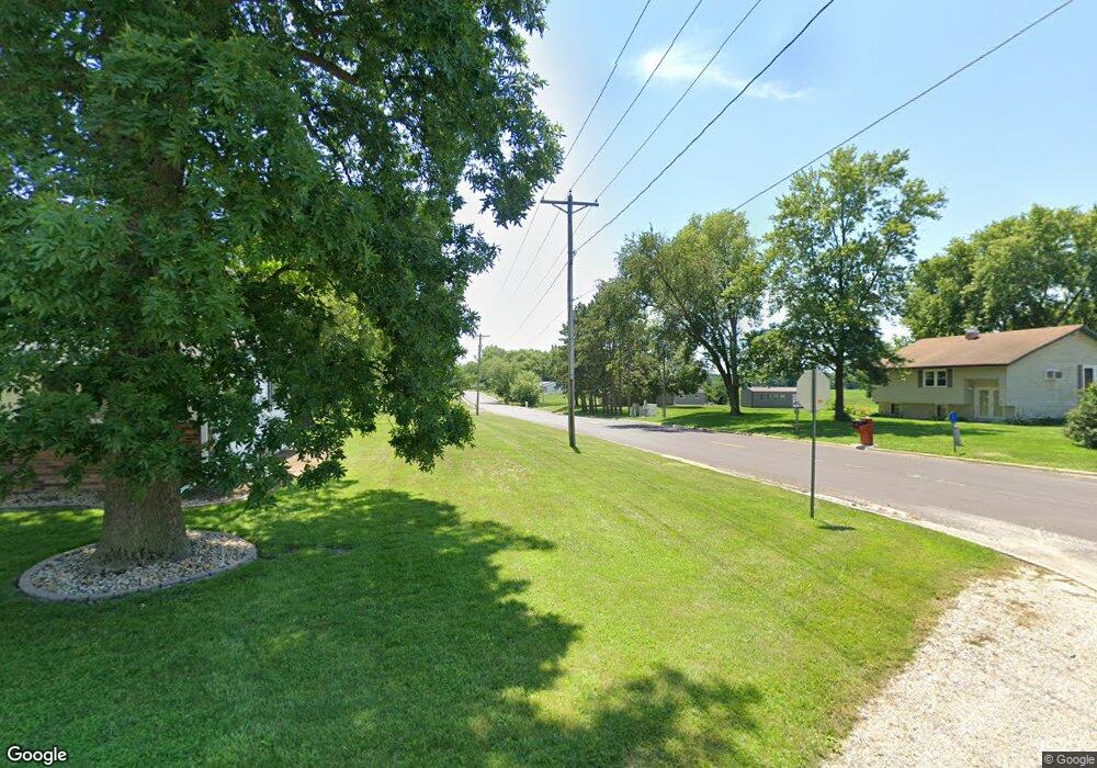
216 S State St Henderson, IL 61439
Estimated Value: $95,274 - $121,000
--
Bed
--
Bath
728
Sq Ft
$146/Sq Ft
Est. Value
About This Home
This home is located at 216 S State St, Henderson, IL 61439 and is currently estimated at $106,319, approximately $146 per square foot. 216 S State St is a home with nearby schools including Silas Willard Elementary School, Gale School, and Lombard Middle School.
Ownership History
Date
Name
Owned For
Owner Type
Purchase Details
Closed on
Jan 27, 2006
Sold by
Jones Kenneth M and Jones Sidnie A
Bought by
Justin Keith L
Current Estimated Value
Home Financials for this Owner
Home Financials are based on the most recent Mortgage that was taken out on this home.
Original Mortgage
$68,500
Outstanding Balance
$39,154
Interest Rate
6.46%
Mortgage Type
New Conventional
Estimated Equity
$67,165
Create a Home Valuation Report for This Property
The Home Valuation Report is an in-depth analysis detailing your home's value as well as a comparison with similar homes in the area
Home Values in the Area
Average Home Value in this Area
Purchase History
| Date | Buyer | Sale Price | Title Company |
|---|---|---|---|
| Justin Keith L | $67,500 | First American Title |
Source: Public Records
Mortgage History
| Date | Status | Borrower | Loan Amount |
|---|---|---|---|
| Open | Justin Keith L | $68,500 |
Source: Public Records
Tax History Compared to Growth
Tax History
| Year | Tax Paid | Tax Assessment Tax Assessment Total Assessment is a certain percentage of the fair market value that is determined by local assessors to be the total taxable value of land and additions on the property. | Land | Improvement |
|---|---|---|---|---|
| 2024 | $2,018 | $25,840 | $1,820 | $24,020 |
| 2023 | $2,018 | $24,220 | $1,710 | $22,510 |
| 2022 | $1,521 | $24,970 | $1,540 | $23,430 |
| 2021 | $1,395 | $23,120 | $1,430 | $21,690 |
| 2020 | $1,316 | $21,610 | $1,340 | $20,270 |
| 2019 | $1,329 | $21,610 | $1,340 | $20,270 |
| 2018 | $1,338 | $21,820 | $1,350 | $20,470 |
| 2017 | $1,352 | $21,820 | $1,350 | $20,470 |
| 2015 | -- | $21,390 | $1,320 | $20,070 |
| 2013 | $1,296 | $22,980 | $1,420 | $21,560 |
Source: Public Records
Map
Nearby Homes
- 207 S State St
- 218 Mcmurtry Dr
- 593 Knox Road 2000 N
- 2260 Knox Road 600 E
- Lot 11 Marmac Dr
- Lot 4 Marmac Dr
- 2819 Montague Dr
- Lot 3 & 4 Lincoln Park Dr
- 2851 Parkway Ct
- 3175 Buckingham Rd
- 2390 U S 150
- 4 Hampton Ct
- 241 Circle Dr
- 227 Circle Dr
- 1347 Garden Ln
- 345 Park Lane Dr
- 237 Park Lane Dr
- 50 Hackberry Cir
- 71 Park Lane Dr
- 1223 Arcadia Dr
- 392 Knox Highway 37
- 388 Knox Highway 37
- 338 Knox Highway 37
- 340 Knox Highway 37
- 340 Knox Highway 37
- 110 South St
- 438 Knox Highway 37
- 212 S State St
- 106 W South St
- 213 S State St
- 208 S State St
- 209 S State St
- 2086 Knox Highway 1
- 2091 Knox Highway 1
- 100 South St
- 212 S Main St
- 206 State St
- 470 Knox Highway 37
- 204 S State St
- 204 S State St
