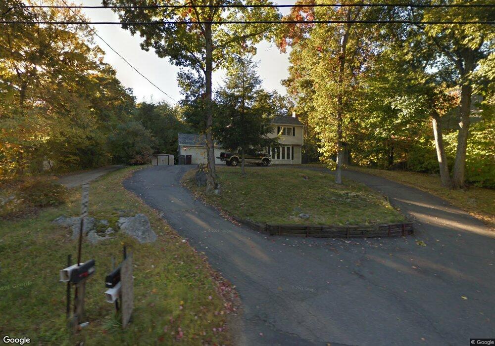
216 Union City Rd Naugatuck, CT 06770
Estimated Value: $381,918 - $407,000
3
Beds
2
Baths
1,568
Sq Ft
$252/Sq Ft
Est. Value
About This Home
This home is located at 216 Union City Rd, Naugatuck, CT 06770 and is currently estimated at $395,480, approximately $252 per square foot. 216 Union City Rd is a home located in New Haven County with nearby schools including City Hill Middle School and Naugatuck High School.
Ownership History
Date
Name
Owned For
Owner Type
Purchase Details
Closed on
May 16, 1991
Sold by
Anderson Charles
Bought by
Loskowski Charles and Loskowski Nancy
Current Estimated Value
Create a Home Valuation Report for This Property
The Home Valuation Report is an in-depth analysis detailing your home's value as well as a comparison with similar homes in the area
Home Values in the Area
Average Home Value in this Area
Purchase History
| Date | Buyer | Sale Price | Title Company |
|---|---|---|---|
| Loskowski Charles | $147,000 | -- |
Source: Public Records
Mortgage History
| Date | Status | Borrower | Loan Amount |
|---|---|---|---|
| Closed | Loskowski Charles | $168,000 | |
| Closed | Loskowski Charles | $121,200 | |
| Closed | Loskowski Charles | $75,815 | |
| Closed | Loskowski Charles | $124,600 |
Source: Public Records
Tax History Compared to Growth
Tax History
| Year | Tax Paid | Tax Assessment Tax Assessment Total Assessment is a certain percentage of the fair market value that is determined by local assessors to be the total taxable value of land and additions on the property. | Land | Improvement |
|---|---|---|---|---|
| 2025 | $7,506 | $188,650 | $33,320 | $155,330 |
| 2024 | $7,884 | $188,650 | $33,320 | $155,330 |
| 2023 | $8,442 | $188,650 | $33,320 | $155,330 |
| 2022 | $6,568 | $137,560 | $35,480 | $102,080 |
| 2021 | $6,568 | $137,560 | $35,480 | $102,080 |
| 2020 | $6,568 | $137,560 | $35,480 | $102,080 |
| 2019 | $6,500 | $137,560 | $35,480 | $102,080 |
| 2018 | $6,560 | $135,680 | $45,370 | $90,310 |
| 2017 | $6,587 | $135,680 | $45,370 | $90,310 |
| 2016 | $6,428 | $134,840 | $45,370 | $89,470 |
| 2015 | $6,145 | $134,840 | $45,370 | $89,470 |
| 2014 | $6,076 | $134,840 | $45,370 | $89,470 |
| 2012 | $5,963 | $177,720 | $51,560 | $126,160 |
Source: Public Records
Map
Nearby Homes
- 219 Union City Rd
- 29 Ramsey Ave
- 223 E Waterbury Rd
- 92 Quentin St
- 20 Charlene Dr
- 333 Wooster St
- 101 Adella St
- 11 Shadee Ln
- 17 Meadowbrook Dr
- 38 Tyler Hill Rd
- 4 Florence Dr
- 142 Applewood Ln
- 212 Pearl Lake Rd
- 21 Acushnet St
- 42 Clark Hill Rd
- 147 Sprucedale Dr
- 465 N Main St
- 463 Pearl Lake Rd
- 171 Kelsey St
- 51 Brook St Unit 7A
- 220 Union City Rd
- 202 Union City Rd Unit 2
- 222 Union City Rd
- 194 Union City Rd
- 224 Union City Rd
- 217 Union City Rd
- 221 Union City Rd
- 209 Union City Rd
- 185 Union City Rd
- 184 Union City Rd
- 1 Gail Dr
- 36 Crestwood Dr
- 193 Union City Rd
- 22 Crestwood Dr
- 20 Autumn Ridge Rd
- 25 Gail Dr
- 223 Union City Rd
- 28 Autumn Ridge Rd
- 179 Union City Rd
- 10 Crestwood Dr