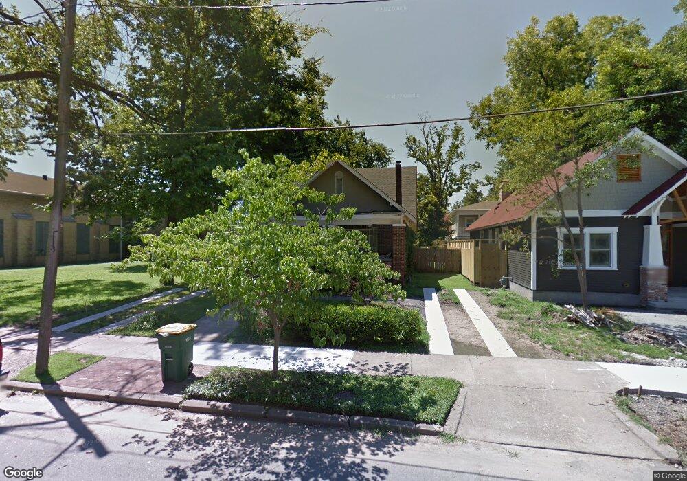
216 W 6th St North Little Rock, AR 72114
Downtown Argenta NeighborhoodEstimated Value: $219,809 - $284,000
--
Bed
4
Baths
1,828
Sq Ft
$140/Sq Ft
Est. Value
About This Home
This home is located at 216 W 6th St, North Little Rock, AR 72114 and is currently estimated at $256,702, approximately $140 per square foot. 216 W 6th St is a home located in Pulaski County with nearby schools including Seventh Street Elementary School, North Little Rock Middle School 6th Grade Campus, and North Little Rock High School.
Ownership History
Date
Name
Owned For
Owner Type
Purchase Details
Closed on
Jun 17, 2013
Sold by
Ragsdale Becky and Spring Becky
Bought by
Ragsdale Becky and Ragsdale Robert E
Current Estimated Value
Home Financials for this Owner
Home Financials are based on the most recent Mortgage that was taken out on this home.
Original Mortgage
$141,300
Outstanding Balance
$66,802
Interest Rate
3.54%
Mortgage Type
New Conventional
Estimated Equity
$189,900
Purchase Details
Closed on
May 17, 2006
Sold by
Dutton Rachel and Engelhoven Casey
Bought by
Spring Becky
Home Financials for this Owner
Home Financials are based on the most recent Mortgage that was taken out on this home.
Original Mortgage
$138,000
Interest Rate
6.58%
Mortgage Type
Purchase Money Mortgage
Create a Home Valuation Report for This Property
The Home Valuation Report is an in-depth analysis detailing your home's value as well as a comparison with similar homes in the area
Home Values in the Area
Average Home Value in this Area
Purchase History
| Date | Buyer | Sale Price | Title Company |
|---|---|---|---|
| Ragsdale Becky | -- | American Abstract & Title Co | |
| Spring Becky | $173,000 | Little Rock Title Company |
Source: Public Records
Mortgage History
| Date | Status | Borrower | Loan Amount |
|---|---|---|---|
| Open | Ragsdale Becky | $141,300 | |
| Closed | Spring Becky | $138,000 |
Source: Public Records
Tax History Compared to Growth
Tax History
| Year | Tax Paid | Tax Assessment Tax Assessment Total Assessment is a certain percentage of the fair market value that is determined by local assessors to be the total taxable value of land and additions on the property. | Land | Improvement |
|---|---|---|---|---|
| 2025 | $1,292 | $39,386 | $6,000 | $33,386 |
| 2024 | $1,292 | $39,386 | $6,000 | $33,386 |
| 2023 | $1,292 | $39,386 | $6,000 | $33,386 |
| 2022 | $1,292 | $39,386 | $6,000 | $33,386 |
| 2021 | $1,230 | $33,340 | $12,200 | $21,140 |
| 2020 | $806 | $33,340 | $12,200 | $21,140 |
| 2019 | $757 | $33,340 | $12,200 | $21,140 |
| 2018 | $732 | $33,340 | $12,200 | $21,140 |
| 2017 | $683 | $33,340 | $12,200 | $21,140 |
| 2016 | $633 | $22,020 | $2,600 | $19,420 |
| 2015 | $941 | $14,080 | $2,600 | $11,480 |
| 2014 | $941 | $0 | $0 | $0 |
Source: Public Records
Map
Nearby Homes
- 817 Maple St
- 820 Orange St
- 100 Melrose Divide
- 234 Melrose Cir
- 912 N Poplar St
- 0 E 3rd St Unit 25043069
- 0 E 3rd St Unit 25043071
- 1400 N Magnolia St
- O Washington W Riverfront Dr
- 1220 Gum St
- 400 E 12th St
- 1306 N Magnolia St
- 000 Highway 65 Unit Tract 3
- 000 Highway 65 Unit Tract 2
- 000 Highway 65 Unit Tract 6
- 000 Highway 65 Unit Tract 1
- 000 Highway 65 Unit Tract 4
- 000 Highway 65 Unit Tract 5
- 301 E 14th St
- 1408 N Magnolia St