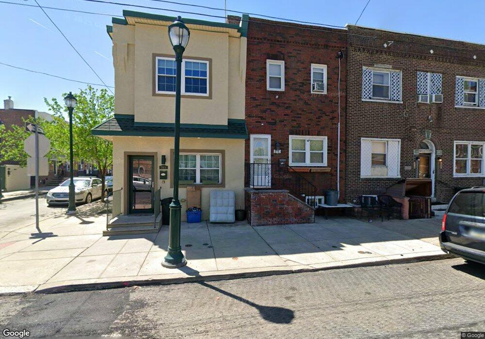
216 W Ritner St Philadelphia, PA 19148
Whitman NeighborhoodEstimated Value: $239,000 - $300,000
3
Beds
1
Bath
1,190
Sq Ft
$225/Sq Ft
Est. Value
About This Home
This home is located at 216 W Ritner St, Philadelphia, PA 19148 and is currently estimated at $267,622, approximately $224 per square foot. 216 W Ritner St is a home located in Philadelphia County with nearby schools including George W. Sharswood School and Furness Horace High School.
Ownership History
Date
Name
Owned For
Owner Type
Purchase Details
Closed on
Oct 4, 2001
Sold by
Holt John and Holt Tara
Bought by
Hennessey Patrick D
Current Estimated Value
Home Financials for this Owner
Home Financials are based on the most recent Mortgage that was taken out on this home.
Original Mortgage
$58,000
Outstanding Balance
$22,085
Interest Rate
6.82%
Estimated Equity
$245,537
Create a Home Valuation Report for This Property
The Home Valuation Report is an in-depth analysis detailing your home's value as well as a comparison with similar homes in the area
Home Values in the Area
Average Home Value in this Area
Purchase History
| Date | Buyer | Sale Price | Title Company |
|---|---|---|---|
| Hennessey Patrick D | $63,000 | -- |
Source: Public Records
Mortgage History
| Date | Status | Borrower | Loan Amount |
|---|---|---|---|
| Open | Hennessey Patrick D | $58,000 |
Source: Public Records
Tax History Compared to Growth
Tax History
| Year | Tax Paid | Tax Assessment Tax Assessment Total Assessment is a certain percentage of the fair market value that is determined by local assessors to be the total taxable value of land and additions on the property. | Land | Improvement |
|---|---|---|---|---|
| 2026 | $2,618 | $211,100 | $42,220 | $168,880 |
| 2025 | $2,618 | $211,100 | $42,220 | $168,880 |
| 2024 | $2,618 | $211,100 | $42,220 | $168,880 |
| 2023 | $2,618 | $187,000 | $37,400 | $149,600 |
| 2022 | $1,786 | $142,000 | $37,400 | $104,600 |
| 2021 | $2,416 | $0 | $0 | $0 |
| 2020 | $2,416 | $0 | $0 | $0 |
| 2019 | $2,230 | $0 | $0 | $0 |
| 2018 | $1,817 | $0 | $0 | $0 |
| 2017 | $1,817 | $0 | $0 | $0 |
| 2016 | $1,397 | $0 | $0 | $0 |
| 2015 | -- | $0 | $0 | $0 |
| 2014 | -- | $162,100 | $14,374 | $147,726 |
| 2012 | -- | $10,144 | $1,551 | $8,593 |
Source: Public Records
Map
Nearby Homes
- 2438 S Philip St
- 2442 S Philip St
- 137 W Porter St
- 2455 S 3rd St
- 113 Roseberry St
- 108 W Ritner St
- 314 Gladstone St
- 2504 S American St
- 111 Fitzgerald St
- 325 Roseberry St
- 2518 S American St
- 310 W Porter St
- 2402 S Lee St
- 2432 S Lee St
- 345 Roseberry St
- 2544 S 2nd St
- 345 Fitzgerald St
- 2443 S Lee St
- 351 Fitzgerald St
- 2411 S 4th St
- 2408 S Philip St
- 2410 S Philip St
- 2412 S Philip St
- 214 W Ritner St Unit 2ND FL
- 214 W Ritner St Unit 1ST FL
- 214 W Ritner St
- 218 W Ritner St
- 2414 S Philip St
- 220 W Ritner St
- 222 W Ritner St
- 2411 S American St
- 2416 S Philip St
- 2409 S American St
- 2413 S American St
- 2415 S American St
- 224 W Ritner St
- 2418 S Philip St
- 212 W Ritner St Unit 2ND FL
- 212 W Ritner St Unit 1ST FL
- 212 W Ritner St