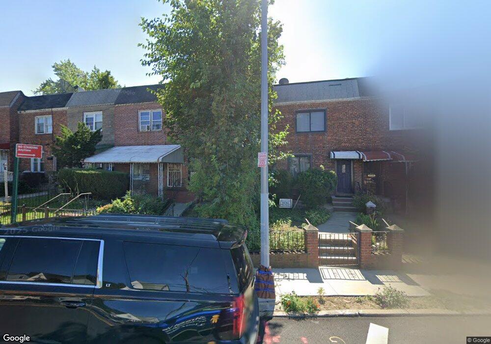
21616 115th Ave Cambria Heights, NY 11411
Cambria Heights NeighborhoodEstimated Value: $526,022 - $623,000
--
Bed
--
Bath
864
Sq Ft
$668/Sq Ft
Est. Value
About This Home
This home is located at 21616 115th Ave, Cambria Heights, NY 11411 and is currently estimated at $577,006, approximately $667 per square foot. 21616 115th Ave is a home located in Queens County with nearby schools including P.S./M.S. 147 Ronald Mcnair, I.S. 192 The Linden, and Ss Joachim & Anne School.
Ownership History
Date
Name
Owned For
Owner Type
Purchase Details
Closed on
Apr 25, 2005
Sold by
Better Homes Depot Inc
Bought by
Meadows Pamela K J and Meadows Stacey A
Current Estimated Value
Home Financials for this Owner
Home Financials are based on the most recent Mortgage that was taken out on this home.
Original Mortgage
$323,000
Outstanding Balance
$170,250
Interest Rate
6.01%
Mortgage Type
Purchase Money Mortgage
Estimated Equity
$406,756
Purchase Details
Closed on
Aug 2, 2004
Sold by
Purcell Leslie H
Bought by
Better Homes Depot Inc
Purchase Details
Closed on
Jun 24, 2002
Sold by
Gal Properties Inc
Bought by
Purcell Leslie H
Home Financials for this Owner
Home Financials are based on the most recent Mortgage that was taken out on this home.
Original Mortgage
$211,932
Interest Rate
6.64%
Purchase Details
Closed on
Nov 19, 2001
Sold by
Jenkins Gladys
Bought by
Gal Properties Inc
Create a Home Valuation Report for This Property
The Home Valuation Report is an in-depth analysis detailing your home's value as well as a comparison with similar homes in the area
Home Values in the Area
Average Home Value in this Area
Purchase History
| Date | Buyer | Sale Price | Title Company |
|---|---|---|---|
| Meadows Pamela K J | $323,000 | -- | |
| Better Homes Depot Inc | $200,000 | -- | |
| Purcell Leslie H | -- | -- | |
| Gal Properties Inc | -- | -- |
Source: Public Records
Mortgage History
| Date | Status | Borrower | Loan Amount |
|---|---|---|---|
| Open | Meadows Pamela K J | $323,000 | |
| Previous Owner | Purcell Leslie H | $211,932 |
Source: Public Records
Tax History Compared to Growth
Tax History
| Year | Tax Paid | Tax Assessment Tax Assessment Total Assessment is a certain percentage of the fair market value that is determined by local assessors to be the total taxable value of land and additions on the property. | Land | Improvement |
|---|---|---|---|---|
| 2025 | $4,042 | $22,723 | $4,818 | $17,905 |
| 2024 | $4,054 | $21,522 | $5,467 | $16,055 |
| 2023 | $3,797 | $20,304 | $5,273 | $15,031 |
| 2022 | $3,643 | $25,680 | $7,620 | $18,060 |
| 2021 | $3,847 | $23,940 | $7,620 | $16,320 |
| 2020 | $3,712 | $22,980 | $7,620 | $15,360 |
| 2019 | $3,459 | $22,740 | $7,620 | $15,120 |
| 2018 | $3,152 | $16,920 | $5,871 | $11,049 |
| 2017 | $3,044 | $16,404 | $6,390 | $10,014 |
| 2016 | $2,969 | $16,404 | $6,390 | $10,014 |
| 2015 | $1,647 | $15,780 | $8,460 | $7,320 |
| 2014 | $1,647 | $14,946 | $7,635 | $7,311 |
Source: Public Records
Map
Nearby Homes
- 115-20 217th St
- 21610 115th Ct
- 216-04 115th Terrace
- 113-66 Springfield Blvd
- 21608 115th Rd
- 216-08 115th Rd
- 217-39 114th Rd
- 21739 114th Rd
- 114-54 212th St
- 114-36 220th St
- 114-42 211th St
- 115-100 Springfield Blvd
- 115-87 219th St
- 21531 Murdock Ave
- 11419 210th St
- 115-99 219th St
- 214-38 113th Ave
- 11583 220th St
- 11603 217th St
- 214-10 113th Ave
- 21618 115th Ave
- 21614 115th Ave
- 21620 115th Ave
- 21612 115th Ave
- 21622 115th Ave
- 216-10 115th Ave
- 21610 115th Ave
- 21624 115th Ave
- 21624 115th Ave
- 21617 115th Ct
- 21619 115th Ct
- 21615 115th Ct
- 216-17 115th Ct
- 21613 115th Ct
- 11505 Springfield Blvd
- 21611 115th Ct
- 21621 115th Ct
- 21617 115th Ct
- 21619 115th Ct
- 21609 115th Ct