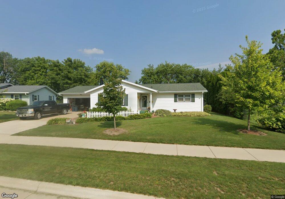
217 Major Way Sun Prairie, WI 53590
Central Sun Prairie NeighborhoodEstimated Value: $380,349 - $391,000
3
Beds
3
Baths
1,368
Sq Ft
$280/Sq Ft
Est. Value
About This Home
This home is located at 217 Major Way, Sun Prairie, WI 53590 and is currently estimated at $383,587, approximately $280 per square foot. 217 Major Way is a home located in Dane County with nearby schools including Westside Elementary School, Prairie View Middle School, and Sacred Hearts School.
Ownership History
Date
Name
Owned For
Owner Type
Purchase Details
Closed on
Jun 15, 2006
Sold by
Anderson David
Bought by
Anderson David and Anderson Rachel
Current Estimated Value
Home Financials for this Owner
Home Financials are based on the most recent Mortgage that was taken out on this home.
Original Mortgage
$52,353
Outstanding Balance
$20,171
Interest Rate
6.73%
Mortgage Type
Stand Alone Second
Estimated Equity
$363,416
Purchase Details
Closed on
Jun 22, 2005
Sold by
Marchl Marlin G and Marchl Mary Lou
Bought by
Anderson David
Home Financials for this Owner
Home Financials are based on the most recent Mortgage that was taken out on this home.
Original Mortgage
$37,000
Interest Rate
5.43%
Mortgage Type
Stand Alone Second
Create a Home Valuation Report for This Property
The Home Valuation Report is an in-depth analysis detailing your home's value as well as a comparison with similar homes in the area
Home Values in the Area
Average Home Value in this Area
Purchase History
| Date | Buyer | Sale Price | Title Company |
|---|---|---|---|
| Anderson David | -- | None Available | |
| Anderson David | $185,000 | None Available |
Source: Public Records
Mortgage History
| Date | Status | Borrower | Loan Amount |
|---|---|---|---|
| Open | Anderson David | $52,353 | |
| Previous Owner | Anderson David | $37,000 | |
| Previous Owner | Anderson David | $148,000 |
Source: Public Records
Tax History Compared to Growth
Tax History
| Year | Tax Paid | Tax Assessment Tax Assessment Total Assessment is a certain percentage of the fair market value that is determined by local assessors to be the total taxable value of land and additions on the property. | Land | Improvement |
|---|---|---|---|---|
| 2024 | $6,022 | $321,200 | $67,800 | $253,400 |
| 2023 | $5,453 | $321,200 | $67,800 | $253,400 |
| 2021 | $5,229 | $252,700 | $63,700 | $189,000 |
| 2020 | $5,372 | $252,700 | $63,700 | $189,000 |
| 2019 | $4,947 | $207,600 | $51,100 | $156,500 |
| 2018 | $4,590 | $207,600 | $51,100 | $156,500 |
| 2017 | $4,420 | $207,600 | $51,100 | $156,500 |
| 2016 | $4,161 | $177,500 | $44,700 | $132,800 |
| 2015 | $4,046 | $177,500 | $44,700 | $132,800 |
| 2014 | $4,066 | $177,200 | $44,700 | $132,500 |
| 2013 | $4,127 | $177,200 | $44,700 | $132,500 |
Source: Public Records
Map
Nearby Homes
- 916 Ring St
- 1033 Lothe St
- 200 Queens St
- 600 Linnerud Dr
- 709 Linnerud Dr
- 530 W Main St
- 147 Flint St
- 1443 Buena Vista Dr
- 1486 Ivory Dr
- 3345 U S 151
- 706 Woodland Dr
- 2543 Water Lily Cir
- 2560 Water Lily Cir
- 2535 Water Lily Cir
- 2522 Water Lily Cir
- 1402 Andaman St
- 201 E Lane St Unit 202
- 227 Windsor St
- 924 Walker Ct
- 921 Pine St