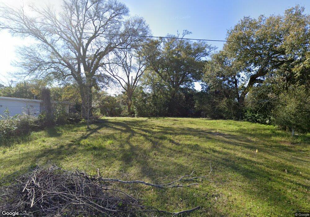
217 Opal Ave Pensacola, FL 32505
Estimated Value: $27,017 - $151,000
--
Bed
1
Bath
1,298
Sq Ft
$69/Sq Ft
Est. Value
About This Home
This home is located at 217 Opal Ave, Pensacola, FL 32505 and is currently estimated at $89,009, approximately $68 per square foot. 217 Opal Ave is a home located in Escambia County with nearby schools including Oakcrest Elementary School, Warrington Middle School, and Escambia High School.
Ownership History
Date
Name
Owned For
Owner Type
Purchase Details
Closed on
Feb 13, 2025
Sold by
Hoff David
Bought by
Pensacola Habitat For Humanity Inc
Current Estimated Value
Purchase Details
Closed on
Jul 12, 2021
Sold by
Estate Of Donald W Melton
Bought by
Hoff David
Purchase Details
Closed on
Mar 19, 2010
Sold by
Secretary Of Housing & Urban Development
Bought by
Melton Donald W
Purchase Details
Closed on
Dec 11, 2009
Sold by
Wells Fargo Bank Na
Bought by
Secretary Of Housing & Urban Development
Purchase Details
Closed on
Sep 10, 2009
Sold by
Mashburn James D
Bought by
Wells Fargo Bank Na
Create a Home Valuation Report for This Property
The Home Valuation Report is an in-depth analysis detailing your home's value as well as a comparison with similar homes in the area
Home Values in the Area
Average Home Value in this Area
Purchase History
| Date | Buyer | Sale Price | Title Company |
|---|---|---|---|
| Pensacola Habitat For Humanity Inc | $27,000 | Clear Title | |
| Pensacola Habitat For Humanity Inc | $27,000 | Clear Title | |
| Hoff David | $14,100 | None Available | |
| Melton Donald W | $14,400 | None Available | |
| Secretary Of Housing & Urban Development | -- | Attorney | |
| Wells Fargo Bank Na | -- | Attorney |
Source: Public Records
Tax History Compared to Growth
Tax History
| Year | Tax Paid | Tax Assessment Tax Assessment Total Assessment is a certain percentage of the fair market value that is determined by local assessors to be the total taxable value of land and additions on the property. | Land | Improvement |
|---|---|---|---|---|
| 2024 | $206 | $17,001 | $17,000 | $1 |
| 2023 | $206 | $8,801 | $0 | $0 |
| 2022 | $154 | $8,001 | $8,000 | $1 |
| 2021 | $800 | $8,001 | $0 | $0 |
| 2020 | $569 | $30,921 | $0 | $0 |
| 2019 | $522 | $25,734 | $0 | $0 |
| 2018 | $2,525 | $24,218 | $0 | $0 |
| 2017 | $167 | $22,511 | $0 | $0 |
| 2016 | $226 | $29,258 | $0 | $0 |
| 2015 | $202 | $29,302 | $0 | $0 |
| 2014 | $184 | $29,070 | $0 | $0 |
Source: Public Records
Map
Nearby Homes
- 213 Emerald Ave
- 245 Aquamarine Ave
- 1020 E Madison Dr
- 1014 Kearny Dr
- 901 S Madison Dr
- 837 S Madison Dr
- 2208 Oakwood Ave
- 835 S Madison Dr
- 200 Georgia Dr
- 1414 Clio Dr
- 823 S Madison Dr
- 102 Tennessee Dr
- 6 Georgia Dr
- 814 S Madison Dr
- 1005 Revere Dr
- 112 Saint Regis Dr
- 305 N Madison Dr
- 3403 W Bobe St
- 3407 W Jordan St
- 4407 Havre Way