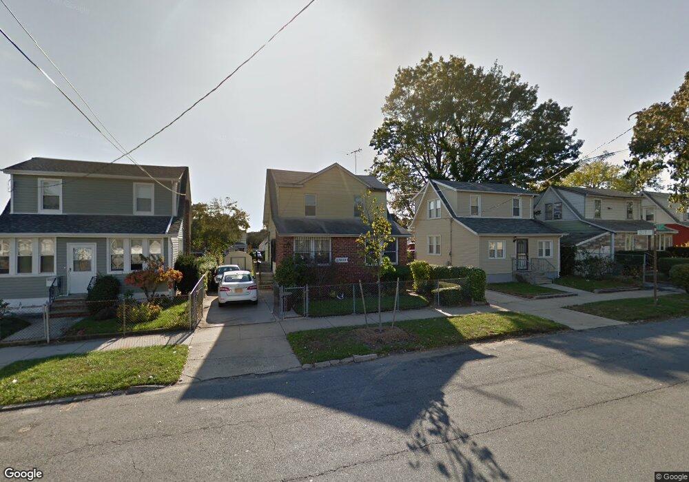
21702 131st Ave Springfield Gardens, NY 11413
Laurelton NeighborhoodEstimated Value: $555,000 - $813,000
--
Bed
--
Bath
1,108
Sq Ft
$608/Sq Ft
Est. Value
About This Home
This home is located at 21702 131st Ave, Springfield Gardens, NY 11413 and is currently estimated at $673,151, approximately $607 per square foot. 21702 131st Ave is a home located in Queens County with nearby schools including P.S. 132 - Ralph Bunche, Is 59 Springfield Gardens, and Success Academy Springfield Gardens.
Ownership History
Date
Name
Owned For
Owner Type
Purchase Details
Closed on
Aug 9, 2019
Sold by
Jones Raymond and Jones-Brozoski Laura
Bought by
Brozoski Owen J and Jones-Brozoski Laura
Current Estimated Value
Purchase Details
Closed on
Apr 12, 2005
Sold by
Coleman Deceased Ben and Coleman Coleman
Bought by
Jones - Brozoski Laura - and Jones Raymond
Create a Home Valuation Report for This Property
The Home Valuation Report is an in-depth analysis detailing your home's value as well as a comparison with similar homes in the area
Home Values in the Area
Average Home Value in this Area
Purchase History
| Date | Buyer | Sale Price | Title Company |
|---|---|---|---|
| Brozoski Owen J | -- | -- | |
| Brozoski Owen J | -- | -- | |
| Jones - Brozoski Laura - | -- | -- | |
| Jones - Brozoski Laura - | -- | -- |
Source: Public Records
Tax History Compared to Growth
Tax History
| Year | Tax Paid | Tax Assessment Tax Assessment Total Assessment is a certain percentage of the fair market value that is determined by local assessors to be the total taxable value of land and additions on the property. | Land | Improvement |
|---|---|---|---|---|
| 2025 | $5,805 | $28,902 | $8,088 | $20,814 |
| 2024 | $4,971 | $28,902 | $9,695 | $19,207 |
| 2023 | $5,619 | $27,666 | $9,295 | $18,371 |
| 2022 | $4,945 | $31,380 | $12,660 | $18,720 |
| 2021 | $5,182 | $27,900 | $12,660 | $15,240 |
| 2020 | $5,098 | $28,440 | $12,660 | $15,780 |
| 2019 | $1,860 | $25,680 | $12,660 | $13,020 |
| 2018 | $1,691 | $23,055 | $11,235 | $11,820 |
| 2017 | $3,788 | $21,751 | $10,313 | $11,438 |
| 2016 | $1,430 | $21,751 | $10,313 | $11,438 |
| 2015 | $799 | $20,071 | $12,073 | $7,998 |
| 2014 | $799 | $20,071 | $12,073 | $7,998 |
Source: Public Records
Map
Nearby Homes
- 13049 217th St
- 130-25 217th St
- 19332 Williamson Ave
- 13024 Springfield Blvd
- 21917 132nd Rd
- 21924 130th Dr
- 192-17 Williamson Ave
- 19115 Williamson Ave
- 12512 Nepton St
- 130-45 220th St
- 21931 133rd Ave
- 21827 130th Ave
- 194-01 Nashville Blvd
- 19401 Nashville Blvd
- 122-52 Springfield Blvd
- 218-36 133rd Rd
- 22014 130th Ave
- 22014 130th Ave
- 187-01 Ridgedale St
- 21608 Merrick Blvd
- 21626 131st Ave
- 21704 131st Ave
- 21626 131st Ave
- 21626 131st Ave
- 21622 131st Ave
- 21706 131st Ave
- 217-06 131st Ave
- 21621 132nd Ave
- 21703 132nd Ave
- 21618 131st Ave
- 21619 132nd Ave
- 21707 132nd Ave
- 21707 132nd Ave
- 21703 132nd Ave
- 13106 218th St
- 13102 218th St
- 13110 218th St
- 21614 131st Ave
- 21701 131st Ave
- 21615 132nd Ave