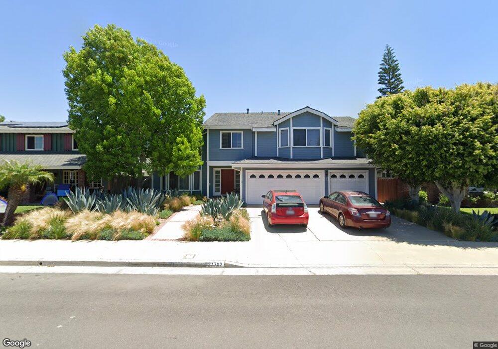
21782 Seaside Ln Huntington Beach, CA 92646
Southeast NeighborhoodEstimated Value: $2,174,989 - $2,414,000
5
Beds
3
Baths
3,528
Sq Ft
$650/Sq Ft
Est. Value
About This Home
This home is located at 21782 Seaside Ln, Huntington Beach, CA 92646 and is currently estimated at $2,291,497, approximately $649 per square foot. 21782 Seaside Ln is a home located in Orange County with nearby schools including John H. Eader Elementary School, Isaac L. Sowers Middle School, and Edison High School.
Ownership History
Date
Name
Owned For
Owner Type
Purchase Details
Closed on
Aug 17, 2021
Sold by
Jaffe Harvey J and Jaffe Celia M
Bought by
Jaffe Harvey J and Jaffe Celia M
Current Estimated Value
Purchase Details
Closed on
Dec 21, 1993
Sold by
Collier Thomas J and Collier Elizabeth G
Bought by
Jaffe Harvey J and Jaffe Celia M
Home Financials for this Owner
Home Financials are based on the most recent Mortgage that was taken out on this home.
Original Mortgage
$248,000
Interest Rate
7.2%
Create a Home Valuation Report for This Property
The Home Valuation Report is an in-depth analysis detailing your home's value as well as a comparison with similar homes in the area
Home Values in the Area
Average Home Value in this Area
Purchase History
| Date | Buyer | Sale Price | Title Company |
|---|---|---|---|
| Jaffe Harvey J | -- | None Available | |
| Jaffe Harvey J | $310,000 | Commonwealth Land Title |
Source: Public Records
Mortgage History
| Date | Status | Borrower | Loan Amount |
|---|---|---|---|
| Closed | Jaffe Harvey J | $248,000 |
Source: Public Records
Tax History Compared to Growth
Tax History
| Year | Tax Paid | Tax Assessment Tax Assessment Total Assessment is a certain percentage of the fair market value that is determined by local assessors to be the total taxable value of land and additions on the property. | Land | Improvement |
|---|---|---|---|---|
| 2025 | $6,869 | $606,315 | $334,646 | $271,669 |
| 2024 | $6,869 | $594,427 | $328,084 | $266,343 |
| 2023 | $6,713 | $582,772 | $321,651 | $261,121 |
| 2022 | $6,536 | $571,346 | $315,345 | $256,001 |
| 2021 | $6,414 | $560,144 | $309,162 | $250,982 |
| 2020 | $6,371 | $554,401 | $305,992 | $248,409 |
| 2019 | $6,295 | $543,531 | $299,992 | $243,539 |
| 2018 | $6,197 | $532,874 | $294,110 | $238,764 |
| 2017 | $6,113 | $522,426 | $288,343 | $234,083 |
| 2016 | $5,843 | $512,183 | $282,689 | $229,494 |
| 2015 | $5,786 | $504,490 | $278,443 | $226,047 |
| 2014 | $5,664 | $494,608 | $272,988 | $221,620 |
Source: Public Records
Map
Nearby Homes
- 21722 Hilaria Cir
- 21861 Vacation Ln
- 21941 Oceanview Ln
- 22102 Wood Island Ln
- 21382 Lemontree Ln
- 21361 Lemontree Ln
- 21662 Brookhurst St Unit D
- 21621 Kaneohe Ln
- 9552 Castine Dr
- 9581 Chevy Chase Dr
- 9171 Regatta Dr
- 9112 Playa Dr
- 9802 Effingham Dr
- 9121 Christine Dr
- 9021 Niguel Cir
- 21221 Hillsdale Ln
- 1170 Gleneagles Terrace
- 1269 Westreef
- 1 Starfish Ct Unit 40
- 21072 Galbar Cir
- 21772 Seaside Ln
- 21792 Seaside Ln
- 21781 Windsong Cir
- 21771 Windsong Cir
- 21791 Windsong Cir
- 21752 Seaside Ln
- 21802 Seaside Ln
- 9612 Rockpoint Dr
- 9611 Beachside Dr
- 21751 Windsong Cir
- 21801 Windsong Cir
- 21822 Seaside Ln
- 21742 Seaside Ln
- 9602 Rockpoint Dr
- 9601 Beachside Dr
- 21821 Windsong Cir
- 9611 Rockpoint Dr
- 21741 Windsong Cir
- 21782 Windsong Cir
- 21832 Seaside Ln