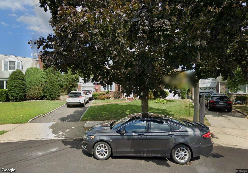
218 Groton Place West Hempstead, NY 11552
Estimated Value: $716,530 - $847,000
--
Bed
2
Baths
1,504
Sq Ft
$520/Sq Ft
Est. Value
About This Home
This home is located at 218 Groton Place, West Hempstead, NY 11552 and is currently estimated at $781,765, approximately $519 per square foot. 218 Groton Place is a home located in Nassau County with nearby schools including Chestnut Street School, West Hempstead Secondary School, and Crescent School.
Ownership History
Date
Name
Owned For
Owner Type
Purchase Details
Closed on
Sep 18, 2024
Sold by
Galante Jerome and Galante Loretta
Bought by
Becht Eric N and Labianca Jessica
Current Estimated Value
Purchase Details
Closed on
Nov 18, 2013
Sold by
Galante Jerome and Labianca Jessica
Bought by
Galante Jerome and Galante Loretta
Purchase Details
Closed on
Mar 24, 2003
Sold by
Bacigalupo Cecelia
Bought by
Galante Barbara
Create a Home Valuation Report for This Property
The Home Valuation Report is an in-depth analysis detailing your home's value as well as a comparison with similar homes in the area
Home Values in the Area
Average Home Value in this Area
Purchase History
| Date | Buyer | Sale Price | Title Company |
|---|---|---|---|
| Becht Eric N | -- | Abstracts Incorporated | |
| Becht Eric N | -- | Abstracts Incorporated | |
| Becht Eric N | -- | Abstracts Incorporated | |
| Galante Jerome | -- | -- | |
| Galante Jerome | -- | -- | |
| Galante Jerome | -- | -- | |
| Galante Barbara | $360,000 | -- | |
| Galante Barbara | $360,000 | -- |
Source: Public Records
Tax History Compared to Growth
Tax History
| Year | Tax Paid | Tax Assessment Tax Assessment Total Assessment is a certain percentage of the fair market value that is determined by local assessors to be the total taxable value of land and additions on the property. | Land | Improvement |
|---|---|---|---|---|
| 2025 | $13,199 | $463 | $286 | $177 |
| 2024 | $4,320 | $488 | $301 | $187 |
| 2023 | $13,103 | $518 | $320 | $198 |
| 2022 | $13,103 | $518 | $320 | $198 |
| 2021 | $16,942 | $508 | $313 | $195 |
| 2020 | $12,302 | $641 | $588 | $53 |
| 2019 | $11,781 | $686 | $463 | $223 |
| 2018 | $11,863 | $932 | $0 | $0 |
| 2017 | $9,816 | $932 | $629 | $303 |
| 2016 | $14,471 | $932 | $629 | $303 |
| 2015 | $4,341 | $932 | $629 | $303 |
| 2014 | $4,341 | $932 | $629 | $303 |
| 2013 | $4,064 | $932 | $629 | $303 |
Source: Public Records
Map
Nearby Homes
- 252 Lexington Ave
- 50 Mayfair Ave
- 253 William St
- 301 Concord Ave
- 47 Stratford Rd
- 2 Sunset Ln
- 170 Ivy St
- 197 Ivy St
- 181 Oak St
- 89 Osborne Rd
- 39 Hilbert St
- 26 Sycamore St
- 179 Fairlawn Ave
- 67 3rd St
- 306 Cambridge Ave
- 87 Elton St
- 72 Spruce St
- 30 Cathedral Ave Unit 4A
- 200 Hilton Ave Unit 55
- 22 Mulford Place Unit 2D
- 214 Groton Place
- 222 Groton Place
- 161 Saint Pauls Place
- 156 Garden Place
- 152 Garden Place
- 160 Andover Place
- 157 Saint Pauls Place
- 208 Groton Place
- 228 Groton Place
- 154 Andover Place
- 162 Saint Pauls Place
- 160 Garden Place
- 215 Groton Place
- 153 Garden Place
- 158 Saint Pauls Place
- 200 Groton Place
- 227 Groton Place
- 141 Saint Pauls Place
- 180 Mayfair Ave
- 173 Westminster Rd