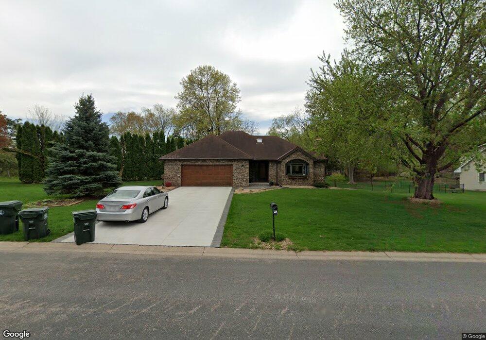
2180 James St Saint Paul, MN 55122
Estimated Value: $480,836 - $556,000
3
Beds
3
Baths
2,805
Sq Ft
$188/Sq Ft
Est. Value
About This Home
This home is located at 2180 James St, Saint Paul, MN 55122 and is currently estimated at $526,709, approximately $187 per square foot. 2180 James St is a home located in Dakota County with nearby schools including Oak Ridge Elementary School, Black Hawk Middle School, and Eastview Senior High School.
Ownership History
Date
Name
Owned For
Owner Type
Purchase Details
Closed on
Jun 3, 2025
Sold by
Scott Joshua D and Scott Kristi M
Bought by
J & K Trust
Current Estimated Value
Purchase Details
Closed on
Jun 20, 2019
Sold by
Haapoja Berg Paul A and Haapoja Berg Kim
Bought by
Scott Joshua D and Scott Kristi M
Home Financials for this Owner
Home Financials are based on the most recent Mortgage that was taken out on this home.
Original Mortgage
$310,400
Interest Rate
4%
Mortgage Type
New Conventional
Purchase Details
Closed on
Apr 28, 2006
Sold by
Severson Dennis D and Severson Terry L
Bought by
Berg Paul and Haapoja Kim
Purchase Details
Closed on
Feb 28, 2001
Sold by
Helmbolt Wayne L and Helmbolt Marilyn M
Bought by
Severson Dennis D and Severson Terry L
Create a Home Valuation Report for This Property
The Home Valuation Report is an in-depth analysis detailing your home's value as well as a comparison with similar homes in the area
Home Values in the Area
Average Home Value in this Area
Purchase History
| Date | Buyer | Sale Price | Title Company |
|---|---|---|---|
| J & K Trust | $500 | None Listed On Document | |
| Scott Joshua D | $388,000 | Burnet Title | |
| Berg Paul | $340,000 | -- | |
| Severson Dennis D | $275,000 | -- |
Source: Public Records
Mortgage History
| Date | Status | Borrower | Loan Amount |
|---|---|---|---|
| Previous Owner | Scott Joshua D | $310,400 |
Source: Public Records
Tax History Compared to Growth
Tax History
| Year | Tax Paid | Tax Assessment Tax Assessment Total Assessment is a certain percentage of the fair market value that is determined by local assessors to be the total taxable value of land and additions on the property. | Land | Improvement |
|---|---|---|---|---|
| 2024 | $5,130 | $466,600 | $126,800 | $339,800 |
| 2023 | $5,130 | $472,300 | $127,200 | $345,100 |
| 2022 | $4,398 | $452,000 | $123,100 | $328,900 |
| 2021 | $4,286 | $391,200 | $107,100 | $284,100 |
| 2020 | $4,242 | $371,900 | $102,000 | $269,900 |
| 2019 | $3,664 | $361,500 | $97,100 | $264,400 |
| 2018 | $3,594 | $331,400 | $92,500 | $238,900 |
| 2017 | $3,608 | $315,800 | $88,100 | $227,700 |
| 2016 | $3,672 | $303,300 | $83,900 | $219,400 |
| 2015 | $3,553 | $296,082 | $81,234 | $214,848 |
| 2014 | -- | $291,286 | $78,862 | $212,424 |
| 2013 | -- | $265,671 | $70,839 | $194,832 |
Source: Public Records
Map
Nearby Homes
- 4774 Slater Rd
- 2107 Kings Rd
- 2100 Viburnum Trail
- 247 River Woods Ln
- 4632 Westwood Ln
- 2065 Kings Rd
- 221 River Woods Ln
- 319 River Woods Ln
- 3309 Red Oak Cir N
- 188 River Woods Ln
- 146 River Woods Ln
- 145 River Woods Ln
- 12068 Gantry Ln
- 12640 Tiffany Ct
- 55 River Woods Ln
- 72 River Woods Ln
- 11902 River Hills Cir
- 12625 Sable Dr
- 12044 Gantry Ln
- 11921 Baypoint Dr