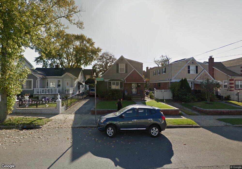
21820 131st Ave Springfield Gardens, NY 11413
Laurelton NeighborhoodEstimated Value: $709,000 - $773,000
--
Bed
--
Bath
1,340
Sq Ft
$549/Sq Ft
Est. Value
About This Home
This home is located at 21820 131st Ave, Springfield Gardens, NY 11413 and is currently estimated at $736,000, approximately $549 per square foot. 21820 131st Ave is a home located in Queens County with nearby schools including P.S. 132 - Ralph Bunche, Is 59 Springfield Gardens, and Success Academy Springfield Gardens.
Ownership History
Date
Name
Owned For
Owner Type
Purchase Details
Closed on
Dec 19, 2014
Sold by
Dekie Earline G and Dekie Giro A
Bought by
Dekie Cohen Lisa K and Dekie Jerome M
Current Estimated Value
Purchase Details
Closed on
May 6, 2004
Sold by
Dickie Earline and Dickie Giro A
Bought by
Dekie Earline and Dekie Giro A
Create a Home Valuation Report for This Property
The Home Valuation Report is an in-depth analysis detailing your home's value as well as a comparison with similar homes in the area
Home Values in the Area
Average Home Value in this Area
Purchase History
| Date | Buyer | Sale Price | Title Company |
|---|---|---|---|
| Dekie Cohen Lisa K | -- | -- | |
| Dekie Cohen Lisa K | -- | -- | |
| Dekie Earline | -- | -- | |
| Dekie Earline | -- | -- |
Source: Public Records
Tax History Compared to Growth
Tax History
| Year | Tax Paid | Tax Assessment Tax Assessment Total Assessment is a certain percentage of the fair market value that is determined by local assessors to be the total taxable value of land and additions on the property. | Land | Improvement |
|---|---|---|---|---|
| 2025 | $6,412 | $35,321 | $9,061 | $26,260 |
| 2024 | $6,424 | $33,322 | $8,936 | $24,386 |
| 2023 | $6,033 | $31,436 | $7,115 | $24,321 |
| 2022 | $5,727 | $39,720 | $10,620 | $29,100 |
| 2021 | $5,946 | $36,120 | $10,620 | $25,500 |
| 2020 | $5,934 | $31,080 | $10,620 | $20,460 |
| 2019 | $5,516 | $30,540 | $10,620 | $19,920 |
| 2018 | $5,480 | $26,197 | $7,793 | $18,404 |
| 2017 | $4,738 | $24,715 | $10,080 | $14,635 |
| 2016 | $4,631 | $24,715 | $10,080 | $14,635 |
| 2015 | -- | $24,528 | $9,801 | $14,727 |
Source: Public Records
Map
Nearby Homes
- 13049 217th St
- 21917 132nd Rd
- 21924 130th Dr
- 130-25 217th St
- 130-45 220th St
- 21931 133rd Ave
- 13024 Springfield Blvd
- 21827 130th Ave
- 19332 Williamson Ave
- 218-36 133rd Rd
- 133-15 220th St
- 22014 130th Ave
- 22014 130th Ave
- 131-35 222nd St
- 12512 Nepton St
- 130-55 222nd St
- 192-17 Williamson Ave
- 19115 Williamson Ave
- 122-52 Springfield Blvd
- 21608 Merrick Blvd
- 21902 131st Ave
- 21816 131st Ave
- 21812 131st Ave
- 21812 131st Ave
- 21812 131st Ave Unit 2
- 21812 131st Ave
- 21904 131st Ave
- 21819 132nd Ave
- 218-19 132nd Ave
- 21815 132nd Ave
- 21825 132nd Ave
- 21908 131st Ave
- 132 Avenue
- 21829 132nd Ave
- 218-29 132nd Ave
- 13107 218th St
- 219-11 131st Ave
- 13101 218th St
- 21833 132nd Ave
- 131-09 218th St