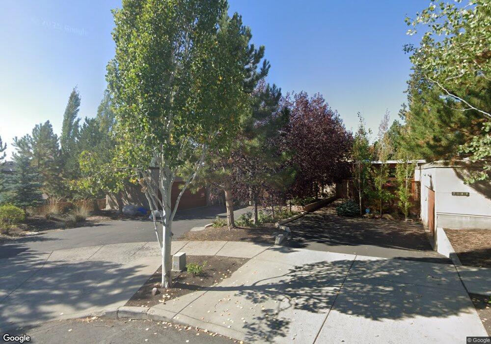
2183 NW Reserve Camp Ct Bend, OR 97701
Summit West NeighborhoodEstimated Value: $1,083,057 - $1,345,000
3
Beds
3
Baths
2,341
Sq Ft
$535/Sq Ft
Est. Value
About This Home
This home is located at 2183 NW Reserve Camp Ct, Bend, OR 97701 and is currently estimated at $1,252,014, approximately $534 per square foot. 2183 NW Reserve Camp Ct is a home located in Deschutes County with nearby schools including William E. Miller Elementary School, Pacific Crest Middle School, and Summit High School.
Ownership History
Date
Name
Owned For
Owner Type
Purchase Details
Closed on
Dec 22, 2012
Sold by
Levesque Michael J and Levesque Julie A
Bought by
Levesque Michael J and Levesque Julie A
Current Estimated Value
Home Financials for this Owner
Home Financials are based on the most recent Mortgage that was taken out on this home.
Original Mortgage
$393,240
Outstanding Balance
$270,188
Interest Rate
3.27%
Mortgage Type
FHA
Estimated Equity
$981,826
Purchase Details
Closed on
Mar 3, 2010
Sold by
Libertybank
Bought by
Levesque Michael J and Levesque Julie
Home Financials for this Owner
Home Financials are based on the most recent Mortgage that was taken out on this home.
Original Mortgage
$402,573
Interest Rate
4.95%
Mortgage Type
FHA
Purchase Details
Closed on
Feb 10, 2009
Sold by
Pennbrook Homes Inc
Bought by
Libertybank
Create a Home Valuation Report for This Property
The Home Valuation Report is an in-depth analysis detailing your home's value as well as a comparison with similar homes in the area
Home Values in the Area
Average Home Value in this Area
Purchase History
| Date | Buyer | Sale Price | Title Company |
|---|---|---|---|
| Levesque Michael J | -- | Accommodation | |
| Levesque Michael J | $410,000 | First American Title | |
| Libertybank | $409,047 | First American Title |
Source: Public Records
Mortgage History
| Date | Status | Borrower | Loan Amount |
|---|---|---|---|
| Open | Levesque Michael J | $393,240 | |
| Closed | Levesque Michael J | $402,573 |
Source: Public Records
Tax History Compared to Growth
Tax History
| Year | Tax Paid | Tax Assessment Tax Assessment Total Assessment is a certain percentage of the fair market value that is determined by local assessors to be the total taxable value of land and additions on the property. | Land | Improvement |
|---|---|---|---|---|
| 2025 | $7,131 | $422,070 | -- | -- |
| 2024 | $6,861 | $409,780 | -- | -- |
| 2023 | $6,360 | $397,850 | $0 | $0 |
| 2022 | $5,934 | $375,020 | $0 | $0 |
| 2021 | $5,943 | $364,100 | $0 | $0 |
| 2020 | $5,638 | $364,100 | $0 | $0 |
| 2019 | $5,481 | $353,500 | $0 | $0 |
| 2018 | $5,327 | $343,210 | $0 | $0 |
| 2017 | $5,170 | $333,220 | $0 | $0 |
| 2016 | $4,931 | $323,520 | $0 | $0 |
| 2015 | $4,794 | $314,100 | $0 | $0 |
| 2014 | $4,653 | $304,960 | $0 | $0 |
Source: Public Records
Map
Nearby Homes
- 2234 NW Reserve Camp Ct
- 2927 NW Celilo Ln
- 2954 NW Wild Meadow Dr
- 1399 NW Fort Clatsop St Unit 1&2
- 2612 NW Lemhi Pass Dr
- 2580 NW Shields Dr
- 1650 NW Lewis St Unit 4
- 2382 NW Summerhill Dr
- 1251 NW Stanhope Way Unit 250
- 2589 NW Lemhi Pass Dr
- The Carrington Plan at Collier
- The Wembley Plan at Collier
- The Siskiyou Plan at Collier
- The Shasta (3 Car) Plan at Collier
- The Morgan Plan at Collier
- The Bentley Plan at Collier
- The Shasta (2 Car) Plan at Collier
- The Benedict Plan at Collier
- The Rainier Plan at Collier
- The Malone Plan at Collier
- 2189 NW Reserve Camp Ct
- 1976 NW Shevlin Crest Dr
- 2195 NW Reserve Camp Ct
- 1962 NW Shevlin Crest Dr
- 1955 NW Fields St
- 2201 NW Reserve Camp Ct Unit 9
- 2201 NW Reserve Camp Ct
- 1967 NW Fields St
- 1943 NW Fields St
- 1963 NW Shevlin Crest Dr
- 2912 NW Celilo Ln
- 1963 NW Shevlin Crest Drive Adu
- 1931 NW Fields St
- 2207 NW Reserve Camp Ct
- 2911 NW Celilo Ln
- 1935 NW Shevlin Crest Dr
- 1936 NW Shevlin Crest Dr
- 2213 NW Reserve Camp Ct
- 1922 NW Shevlin Crest Dr
- 2736 NW Shields Dr