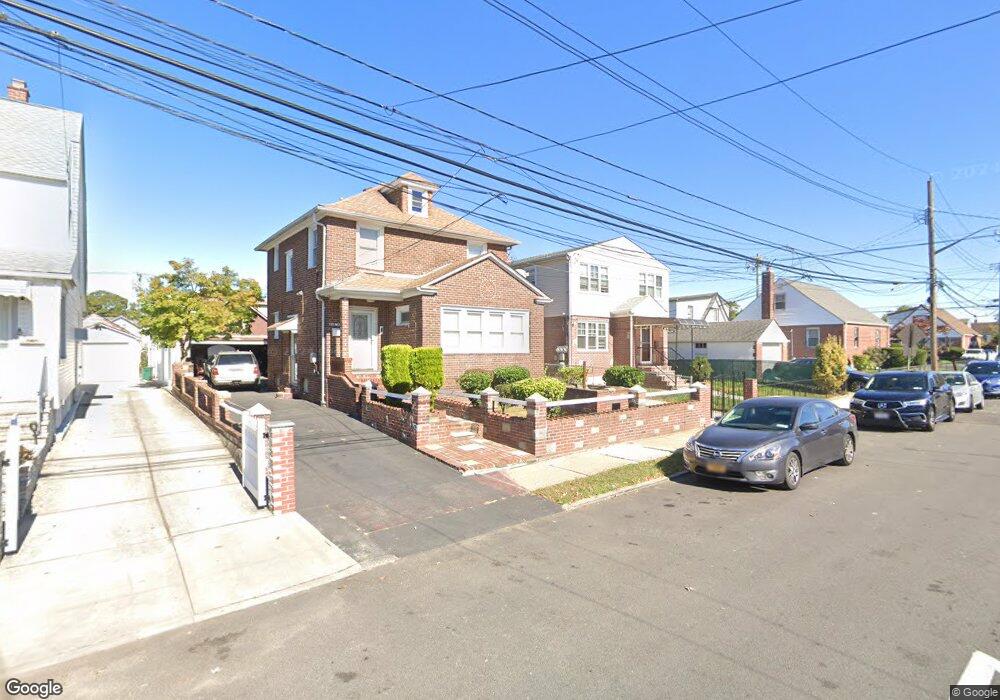
21845 132nd Ave Springfield Gardens, NY 11413
Laurelton NeighborhoodEstimated Value: $695,939 - $1,029,000
3
Beds
1
Bath
1,796
Sq Ft
$488/Sq Ft
Est. Value
About This Home
This home is located at 21845 132nd Ave, Springfield Gardens, NY 11413 and is currently estimated at $876,235, approximately $487 per square foot. 21845 132nd Ave is a home located in Queens County with nearby schools including P.S. 132 - Ralph Bunche, Is 59 Springfield Gardens, and Success Academy Springfield Gardens.
Ownership History
Date
Name
Owned For
Owner Type
Purchase Details
Closed on
Apr 11, 2000
Sold by
Perry Lillian T
Bought by
Duhaney Leon J
Current Estimated Value
Home Financials for this Owner
Home Financials are based on the most recent Mortgage that was taken out on this home.
Original Mortgage
$272,750
Outstanding Balance
$93,443
Interest Rate
8.23%
Mortgage Type
FHA
Estimated Equity
$782,792
Create a Home Valuation Report for This Property
The Home Valuation Report is an in-depth analysis detailing your home's value as well as a comparison with similar homes in the area
Home Values in the Area
Average Home Value in this Area
Purchase History
| Date | Buyer | Sale Price | Title Company |
|---|---|---|---|
| Duhaney Leon J | $275,000 | First American Title Ins Co |
Source: Public Records
Mortgage History
| Date | Status | Borrower | Loan Amount |
|---|---|---|---|
| Open | Duhaney Leon J | $272,750 |
Source: Public Records
Tax History Compared to Growth
Tax History
| Year | Tax Paid | Tax Assessment Tax Assessment Total Assessment is a certain percentage of the fair market value that is determined by local assessors to be the total taxable value of land and additions on the property. | Land | Improvement |
|---|---|---|---|---|
| 2025 | $7,367 | $38,878 | $10,437 | $28,441 |
| 2024 | $7,367 | $36,678 | $9,250 | $27,428 |
| 2023 | $6,950 | $34,603 | $8,903 | $25,700 |
| 2022 | $6,517 | $44,460 | $13,740 | $30,720 |
| 2021 | $6,870 | $36,840 | $13,740 | $23,100 |
| 2020 | $6,858 | $37,320 | $13,740 | $23,580 |
| 2019 | $6,394 | $35,700 | $13,740 | $21,960 |
| 2018 | $5,878 | $28,836 | $9,841 | $18,995 |
| 2017 | $5,546 | $27,204 | $12,740 | $14,464 |
| 2016 | $5,438 | $27,204 | $12,740 | $14,464 |
| 2015 | $3,095 | $26,998 | $13,579 | $13,419 |
| 2014 | $3,095 | $25,471 | $14,003 | $11,468 |
Source: Public Records
Map
Nearby Homes
- 21924 130th Dr
- 130-45 220th St
- 21931 133rd Ave
- 13049 217th St
- 131-35 222nd St
- 130-25 217th St
- 133-15 220th St
- 130-55 222nd St
- 22014 130th Ave
- 22014 130th Ave
- 218-36 133rd Rd
- 21827 130th Ave
- 22310 131st Ave
- 131-20 224th St
- 13024 Springfield Blvd
- 19332 Williamson Ave
- 130-43 224th St
- 134-16 221st St
- 13062 225th St
- 21608 Merrick Blvd
- 21845 132nd Ave
- 21841 132nd Ave
- 13114 220th St
- 13118 220th St
- 21837 132nd Ave
- 21837 132nd Ave
- 131-14 220th St
- 13112 220th St
- 13114 220th St
- 21922 131st Ave
- 21920 131st Ave
- 13106 220th St
- 21835 132nd Ave
- 218 W 132nd St
- 21916 131st Ave
- 13202 220th St
- 219-16 131st Ave
- 21848 132nd Ave
- 13104 220th St
- 21833 132nd Ave