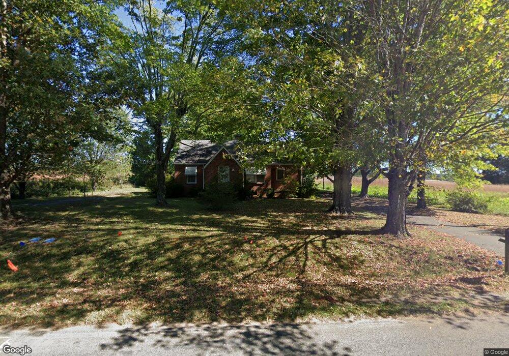
219 Airport Rd Mount Airy, NC 27030
Estimated Value: $187,649 - $226,000
4
Beds
1
Bath
1,558
Sq Ft
$134/Sq Ft
Est. Value
About This Home
This home is located at 219 Airport Rd, Mount Airy, NC 27030 and is currently estimated at $208,662, approximately $133 per square foot. 219 Airport Rd is a home located in Surry County with nearby schools including Pilot Mountain Elementary School, Pilot Mountain Middle School, and East Surry High School.
Ownership History
Date
Name
Owned For
Owner Type
Purchase Details
Closed on
Nov 10, 2022
Sold by
Hodges Bonnie B
Bought by
Haynes Cheryl D
Current Estimated Value
Home Financials for this Owner
Home Financials are based on the most recent Mortgage that was taken out on this home.
Original Mortgage
$97,500
Outstanding Balance
$75,768
Interest Rate
7.08%
Mortgage Type
New Conventional
Estimated Equity
$132,894
Purchase Details
Closed on
May 29, 2014
Sold by
Cook Philip Douglas and Cook Bonnie
Bought by
Mount Airy Surry County Airport Authorit
Create a Home Valuation Report for This Property
The Home Valuation Report is an in-depth analysis detailing your home's value as well as a comparison with similar homes in the area
Home Values in the Area
Average Home Value in this Area
Purchase History
| Date | Buyer | Sale Price | Title Company |
|---|---|---|---|
| Haynes Cheryl D | -- | -- | |
| Mount Airy Surry County Airport Authorit | $90,000 | None Available |
Source: Public Records
Mortgage History
| Date | Status | Borrower | Loan Amount |
|---|---|---|---|
| Open | Haynes Cheryl D | $97,500 |
Source: Public Records
Tax History Compared to Growth
Tax History
| Year | Tax Paid | Tax Assessment Tax Assessment Total Assessment is a certain percentage of the fair market value that is determined by local assessors to be the total taxable value of land and additions on the property. | Land | Improvement |
|---|---|---|---|---|
| 2025 | -- | $101,650 | $46,830 | $54,820 |
| 2024 | -- | $89,560 | $44,600 | $44,960 |
| 2023 | $0 | $89,560 | $44,600 | $44,960 |
| 2022 | $0 | $89,560 | $44,600 | $44,960 |
| 2021 | $0 | $89,560 | $44,600 | $44,960 |
| 2020 | $0 | $82,660 | $42,480 | $40,180 |
| 2019 | $0 | $82,660 | $0 | $0 |
| 2018 | $0 | $82,660 | $0 | $0 |
| 2017 | $0 | $82,660 | $0 | $0 |
| 2016 | $0 | $82,660 | $0 | $0 |
| 2013 | -- | $83,000 | $0 | $0 |
Source: Public Records
Map
Nearby Homes
- 278 Old Us Highway 52
- 208 Holly Ave
- 177 Janice Dr
- 366 Sheep Farm Rd
- 201 Circle View Rd
- 115 Stout Ln
- 181 Fox Walk Ln
- Tbd Farmbrook Rd
- 00 S Andy Griffith Pkwy
- TBD S Andy Griffith Pkwy
- 0 Chestnut Ridge Rd
- 2326 Westfield Rd
- 2384 Westfield Rd
- 200 Englewood Trail
- 01 Farmbrook Rd
- 000000 Farmbrook Rd
- 00000 Farmbrook Rd
- 02 Farmbrook Rd
- 00 Farmbrook Rd
- 138 Arthur Needham Rd
- 252 Airport Rd
- 171 Airport Rd
- 248 Haymore Rd
- 000 Holly Springs Rd
- 401 Old Us 52 S
- 222 Haymore Rd
- 161 Dizzy Jay Trail
- 331 Holly Springs Rd
- 451 Old Us 52 S
- 351 Holly Springs Rd
- TBD Holly Springs Rd
- 0000 Holly Springs Rd
- 4 Holly Springs Rd
- 3 Holly Springs Rd
- 1 Holly Springs Rd
- 0 Holly Springs Rd
- 346 Holly Ave
- 374 Holly Springs Rd
- 340 Holly Ave
- 449 Old Us 52 S