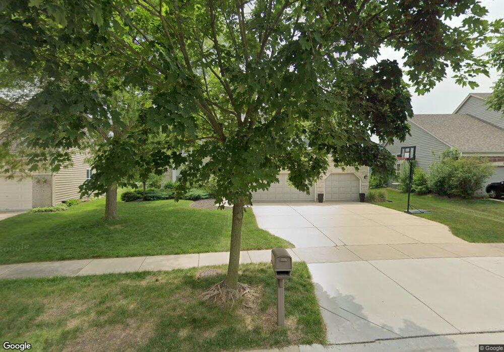
219 Avondale Dr Unit 1 Palatine, IL 60067
Baldwin NeighborhoodEstimated Value: $673,000 - $766,000
5
Beds
4
Baths
3,496
Sq Ft
$206/Sq Ft
Est. Value
About This Home
This home is located at 219 Avondale Dr Unit 1, Palatine, IL 60067 and is currently estimated at $719,867, approximately $205 per square foot. 219 Avondale Dr Unit 1 is a home located in Cook County with nearby schools including Lincoln Elementary School, Walter R. Sundling Junior High School, and Palatine High School.
Ownership History
Date
Name
Owned For
Owner Type
Purchase Details
Closed on
Nov 29, 2022
Sold by
Daher Hiam
Bought by
Sheehy Margaret and Swartz Nicholas
Current Estimated Value
Home Financials for this Owner
Home Financials are based on the most recent Mortgage that was taken out on this home.
Original Mortgage
$438,400
Outstanding Balance
$425,952
Interest Rate
7.25%
Mortgage Type
New Conventional
Estimated Equity
$293,915
Purchase Details
Closed on
Oct 14, 2019
Sold by
Fuja Todd J and Fuja Stephanie R
Bought by
Daher Hiam and Daher Thea
Home Financials for this Owner
Home Financials are based on the most recent Mortgage that was taken out on this home.
Original Mortgage
$400,000
Interest Rate
3.87%
Mortgage Type
New Conventional
Purchase Details
Closed on
Jun 15, 2016
Sold by
Gray Randall K and Gray Barbara J
Bought by
Fuja Todd J and Fuja Stephanie R
Home Financials for this Owner
Home Financials are based on the most recent Mortgage that was taken out on this home.
Original Mortgage
$417,000
Interest Rate
3.87%
Mortgage Type
New Conventional
Purchase Details
Closed on
Jun 9, 2004
Sold by
Campise Jana D
Bought by
Gray Randall K and Gray Barbara J
Home Financials for this Owner
Home Financials are based on the most recent Mortgage that was taken out on this home.
Original Mortgage
$333,000
Interest Rate
6.37%
Mortgage Type
Unknown
Purchase Details
Closed on
Jan 15, 2003
Sold by
Kane Todd J and Campise Jana D
Bought by
Campise Jana D and Jana D Campise Trust
Purchase Details
Closed on
Sep 30, 1997
Sold by
Hogan Robert A and Hogan Cherise A
Bought by
Kane Todd J and Campise Jana D
Home Financials for this Owner
Home Financials are based on the most recent Mortgage that was taken out on this home.
Original Mortgage
$230,000
Interest Rate
7.7%
Purchase Details
Closed on
Jun 6, 1994
Sold by
Charter Bank & Trust Na
Bought by
Hogan Robert A and Hogan Cherise A
Home Financials for this Owner
Home Financials are based on the most recent Mortgage that was taken out on this home.
Original Mortgage
$150,000
Interest Rate
6.37%
Create a Home Valuation Report for This Property
The Home Valuation Report is an in-depth analysis detailing your home's value as well as a comparison with similar homes in the area
Home Values in the Area
Average Home Value in this Area
Purchase History
| Date | Buyer | Sale Price | Title Company |
|---|---|---|---|
| Sheehy Margaret | $548,000 | None Listed On Document | |
| Daher Hiam | $500,500 | Attorney | |
| Fuja Todd J | $544,500 | Attorney Title Guaranty Fund | |
| Gray Randall K | $618,500 | Atgf Inc | |
| Campise Jana D | -- | -- | |
| Campise Jana D | -- | -- | |
| Kane Todd J | $271,333 | -- | |
| Hogan Robert A | $325,000 | Intercounty Title |
Source: Public Records
Mortgage History
| Date | Status | Borrower | Loan Amount |
|---|---|---|---|
| Open | Sheehy Margaret | $438,400 | |
| Previous Owner | Daher Hiam | $400,000 | |
| Previous Owner | Fuja Todd J | $417,000 | |
| Previous Owner | Gray Randall K | $333,000 | |
| Previous Owner | Kane Todd J | $230,000 | |
| Previous Owner | Hogan Robert A | $150,000 | |
| Closed | Gray Randall K | $50,000 |
Source: Public Records
Tax History Compared to Growth
Tax History
| Year | Tax Paid | Tax Assessment Tax Assessment Total Assessment is a certain percentage of the fair market value that is determined by local assessors to be the total taxable value of land and additions on the property. | Land | Improvement |
|---|---|---|---|---|
| 2024 | $15,690 | $53,001 | $5,258 | $47,743 |
| 2023 | $15,179 | $53,001 | $5,258 | $47,743 |
| 2022 | $15,179 | $53,001 | $5,258 | $47,743 |
| 2021 | $12,789 | $39,380 | $13,143 | $26,237 |
| 2020 | $13,205 | $41,274 | $13,143 | $28,131 |
| 2019 | $12,242 | $46,117 | $13,143 | $32,974 |
| 2018 | $13,586 | $47,152 | $11,566 | $35,586 |
| 2017 | $15,942 | $52,286 | $11,566 | $40,720 |
| 2016 | $15,413 | $56,856 | $11,566 | $45,290 |
| 2015 | $12,812 | $44,321 | $10,515 | $33,806 |
| 2014 | $13,429 | $46,814 | $10,515 | $36,299 |
| 2013 | $13,983 | $49,907 | $10,515 | $39,392 |
Source: Public Records
Map
Nearby Homes
- 1113 N Smith St
- 1342 N Wellington Ct
- 254 W Fairfield Ct
- 1355 N King George Ct
- 1553 N Saint Marks Place
- 1309 W Dundee Rd
- 230 W Golfview Terrace
- 1527 Louise Ln
- 650 W Echo Ln
- 966 N Auburn Woods Dr
- 771 W Anthony Dr
- 195 W Brandon Ct Unit A33
- 858 N Auburn Woods Dr
- 219 E Reseda Pkwy
- 1535 N Elm St
- 111 W Brandon Ct Unit E24
- 414 E Thornhill Ln Unit 4S414
- 418 E Thornhill Ln Unit 6Q418
- 552 N Quentin Rd
- 805 W Poplar St
- 219 Avondale Dr
- 227 Avondale Dr
- 211 Avondale Dr
- 1281 N Wellington Dr
- 222 Avondale Dr
- 214 Avondale Dr
- 1273 N Wellington Dr
- 1294 N Wellington Dr
- 1302 N Wellington Ct
- 1286 N Wellington Dr
- 1309 N Wellington Ct
- 1265 N Wellington Dr
- 1310 N Wellington Ct
- 1089 N Smith St
- 1119 N Smith St
- 182 W King Arthur Ct
- 1278 N Wellington Dr
- 214 W Wellington Dr
- 1318 N Wellington Ct
- 1317 N Wellington Ct