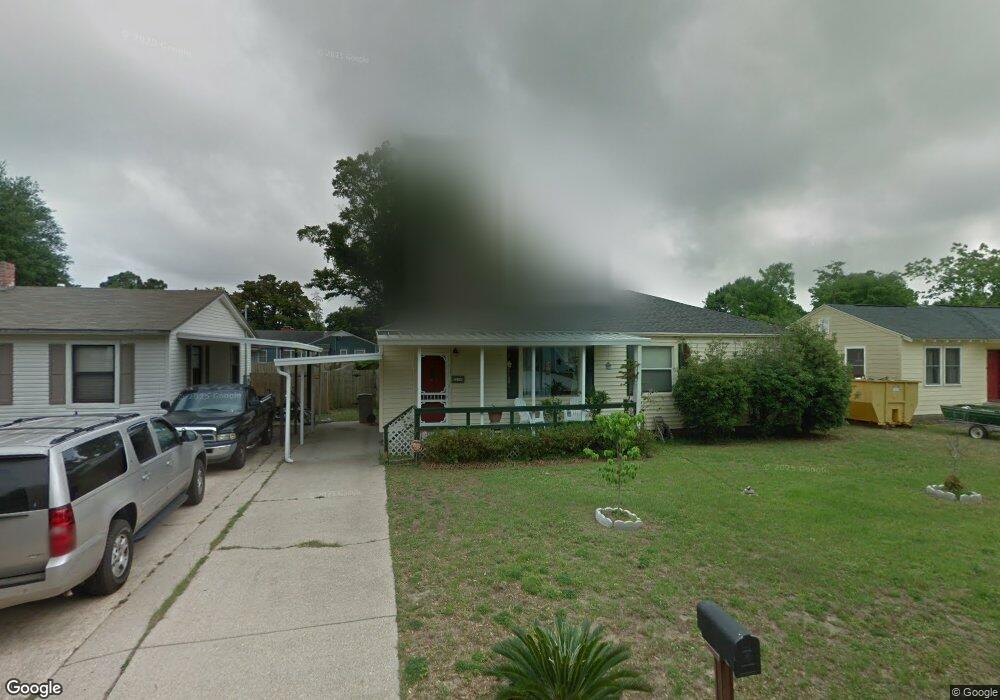
219 Bryant Rd Pensacola, FL 32507
Warrington NeighborhoodEstimated Value: $204,000 - $270,000
--
Bed
1
Bath
1,449
Sq Ft
$159/Sq Ft
Est. Value
About This Home
This home is located at 219 Bryant Rd, Pensacola, FL 32507 and is currently estimated at $230,355, approximately $158 per square foot. 219 Bryant Rd is a home located in Escambia County with nearby schools including Navy Point Elementary School, Jim C. Bailey Middle School, and Pensacola High School.
Ownership History
Date
Name
Owned For
Owner Type
Purchase Details
Closed on
Mar 6, 2024
Sold by
Mcintosh Anne G
Bought by
Mcintosh Christopher Samuel and Mcintosh Katherine A
Current Estimated Value
Purchase Details
Closed on
Jun 18, 1999
Sold by
Austin Angie L and Lamonte Ann J
Bought by
Mcintosh Anne G
Home Financials for this Owner
Home Financials are based on the most recent Mortgage that was taken out on this home.
Original Mortgage
$60,750
Interest Rate
7.23%
Mortgage Type
VA
Create a Home Valuation Report for This Property
The Home Valuation Report is an in-depth analysis detailing your home's value as well as a comparison with similar homes in the area
Home Values in the Area
Average Home Value in this Area
Purchase History
| Date | Buyer | Sale Price | Title Company |
|---|---|---|---|
| Mcintosh Christopher Samuel | $100 | None Listed On Document | |
| Mcintosh Christopher Samuel | $100 | None Listed On Document | |
| Mcintosh Anne G | $59,000 | -- |
Source: Public Records
Mortgage History
| Date | Status | Borrower | Loan Amount |
|---|---|---|---|
| Previous Owner | Mcintosh Anne G | $60,750 |
Source: Public Records
Tax History Compared to Growth
Tax History
| Year | Tax Paid | Tax Assessment Tax Assessment Total Assessment is a certain percentage of the fair market value that is determined by local assessors to be the total taxable value of land and additions on the property. | Land | Improvement |
|---|---|---|---|---|
| 2024 | $533 | $66,775 | -- | -- |
| 2023 | $533 | $64,831 | $0 | $0 |
| 2022 | $529 | $62,943 | $0 | $0 |
| 2021 | $534 | $61,110 | $0 | $0 |
| 2020 | $527 | $60,267 | $0 | $0 |
| 2019 | $523 | $58,913 | $0 | $0 |
| 2018 | $525 | $57,815 | $0 | $0 |
| 2017 | $527 | $56,626 | $0 | $0 |
| 2016 | $527 | $55,462 | $0 | $0 |
| 2015 | $506 | $55,077 | $0 | $0 |
| 2014 | $495 | $54,640 | $0 | $0 |
Source: Public Records
Map
Nearby Homes
- 213 Bryant Rd
- 211 W Sunset Ave
- 302 W Sunset Ave
- 202 W Sunset Ave
- 5 Greve Ct
- 106 Payne Rd
- 105 SE Kalash Rd
- 109 Payne Rd
- 411 Greve Rd
- 203 SE Baublits Dr
- 327 Gibbs Rd
- 406 NW Syrcle Dr
- 207 Payne Rd
- 213 SE Baublits Dr
- 6 Cousineau Rd
- 443 W Winthrop Ave
- 214 SE Kalash Rd
- 601 W Sunset Ave
- 20 NW Gilliland Rd
- 100 BLK Cousineau Rd