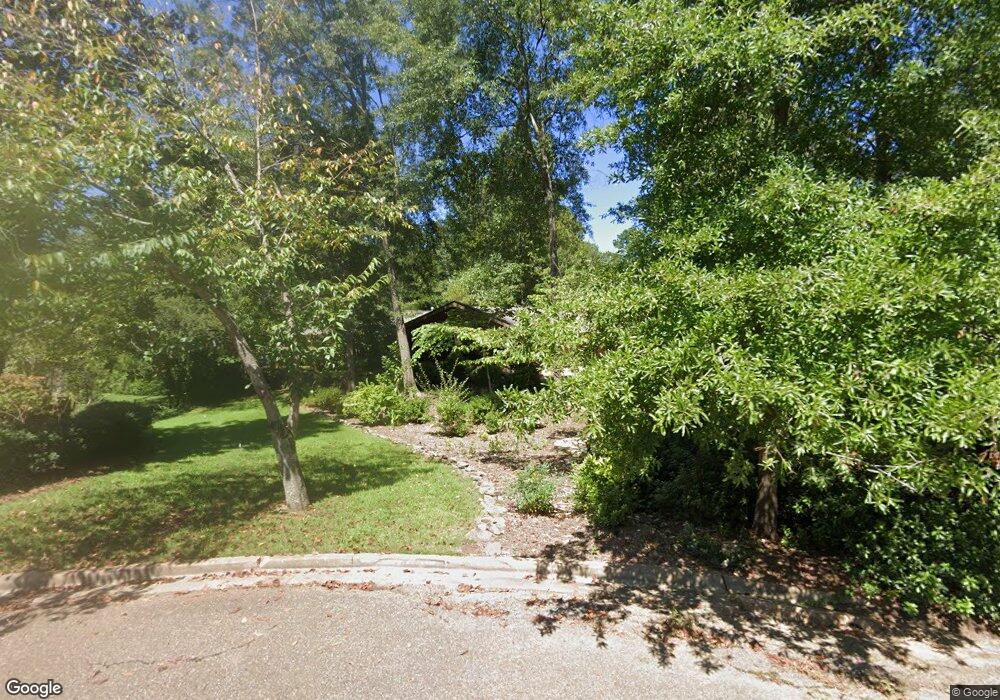
219 Carol Ln Oxford, MS 38655
Estimated Value: $904,000 - $1,170,000
3
Beds
2
Baths
2,800
Sq Ft
$369/Sq Ft
Est. Value
About This Home
This home is located at 219 Carol Ln, Oxford, MS 38655 and is currently estimated at $1,032,677, approximately $368 per square foot. 219 Carol Ln is a home located in Lafayette County with nearby schools including Bramlett Elementary School, Della Davidson Elementary School, and Central Elementary School.
Ownership History
Date
Name
Owned For
Owner Type
Purchase Details
Closed on
Nov 16, 2010
Sold by
Meek Helen Rebecca
Bought by
Sinervo Cindy M
Current Estimated Value
Home Financials for this Owner
Home Financials are based on the most recent Mortgage that was taken out on this home.
Original Mortgage
$450,000
Outstanding Balance
$297,357
Interest Rate
4.3%
Mortgage Type
Purchase Money Mortgage
Estimated Equity
$735,320
Purchase Details
Closed on
Jun 15, 2010
Sold by
Young Elizabeth C
Bought by
Meek Helen Rebecca
Purchase Details
Closed on
Nov 18, 2005
Sold by
Knight Curtis E and Lytal Terry R
Bought by
Young Lester W and Young Elizabeth C
Create a Home Valuation Report for This Property
The Home Valuation Report is an in-depth analysis detailing your home's value as well as a comparison with similar homes in the area
Home Values in the Area
Average Home Value in this Area
Purchase History
| Date | Buyer | Sale Price | Title Company |
|---|---|---|---|
| Sinervo Cindy M | -- | None Available | |
| Meek Helen Rebecca | -- | None Available | |
| Young Lester W | -- | None Available |
Source: Public Records
Mortgage History
| Date | Status | Borrower | Loan Amount |
|---|---|---|---|
| Open | Sinervo Cindy M | $450,000 |
Source: Public Records
Tax History Compared to Growth
Tax History
| Year | Tax Paid | Tax Assessment Tax Assessment Total Assessment is a certain percentage of the fair market value that is determined by local assessors to be the total taxable value of land and additions on the property. | Land | Improvement |
|---|---|---|---|---|
| 2024 | $7,204 | $56,799 | $0 | $0 |
| 2023 | $7,204 | $56,799 | $0 | $0 |
| 2022 | $7,090 | $56,799 | $0 | $0 |
| 2021 | $1,892 | $56,799 | $0 | $0 |
| 2020 | $1,752 | $54,424 | $0 | $0 |
| 2019 | $1,752 | $54,424 | $0 | $0 |
| 2018 | $1,752 | $54,424 | $0 | $0 |
| 2017 | $1,600 | $50,079 | $0 | $0 |
| 2016 | $1,416 | $46,438 | $0 | $0 |
| 2015 | -- | $46,438 | $0 | $0 |
| 2014 | -- | $46,438 | $0 | $0 |
Source: Public Records
Map
Nearby Homes
- 307 Combs St
- 1221 Ivy Rd
- 310 Murray St
- 211 Williams Ave
- 1219 Ivy Rd
- 202 Williams Ave
- 1217 Ivy Rd
- 314 Murray St
- 1215 Ivy Rd
- 1211 Ivy Rd
- 1213 Ivy Rd
- 1000 N Lamar Blvd
- 0 N Lamar Blvd
- 1003 N Lamar Blvd
- 1009 N Lamar Blvd
- 1306 Varner Loop
- 1755 Jackson Ave E
- 180 1802 West Jackson Ave
- 1701 Jackson Ave E
- 427 Cherokee Dr