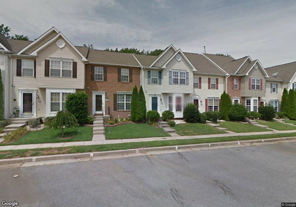
219 Carolstowne Rd Reisterstown, MD 21136
Estimated Value: $341,000 - $365,000
3
Beds
3
Baths
1,474
Sq Ft
$240/Sq Ft
Est. Value
About This Home
This home is located at 219 Carolstowne Rd, Reisterstown, MD 21136 and is currently estimated at $353,854, approximately $240 per square foot. 219 Carolstowne Rd is a home located in Baltimore County with nearby schools including Franklin Elementary School, Franklin Middle, and Franklin High.
Ownership History
Date
Name
Owned For
Owner Type
Purchase Details
Closed on
Aug 5, 2009
Sold by
Hall Debra A
Bought by
Muganlinskaya Nailya
Current Estimated Value
Purchase Details
Closed on
Jun 6, 2005
Sold by
Guseman Debra A
Bought by
Hall Debra A and Hall Thomas B
Home Financials for this Owner
Home Financials are based on the most recent Mortgage that was taken out on this home.
Original Mortgage
$229,500
Interest Rate
9.4%
Mortgage Type
Adjustable Rate Mortgage/ARM
Purchase Details
Closed on
Jan 5, 1999
Sold by
Powers Homes At Stone Mill Inc
Bought by
Guseman Debra A and Hall Thomas B
Create a Home Valuation Report for This Property
The Home Valuation Report is an in-depth analysis detailing your home's value as well as a comparison with similar homes in the area
Home Values in the Area
Average Home Value in this Area
Purchase History
| Date | Buyer | Sale Price | Title Company |
|---|---|---|---|
| Muganlinskaya Nailya | $265,000 | -- | |
| Hall Debra A | -- | -- | |
| Guseman Debra A | $132,473 | -- |
Source: Public Records
Mortgage History
| Date | Status | Borrower | Loan Amount |
|---|---|---|---|
| Previous Owner | Hall Debra A | $229,500 |
Source: Public Records
Tax History Compared to Growth
Tax History
| Year | Tax Paid | Tax Assessment Tax Assessment Total Assessment is a certain percentage of the fair market value that is determined by local assessors to be the total taxable value of land and additions on the property. | Land | Improvement |
|---|---|---|---|---|
| 2025 | $3,506 | $259,533 | -- | -- |
| 2024 | $3,506 | $231,900 | $61,400 | $170,500 |
| 2023 | $1,709 | $225,733 | $0 | $0 |
| 2022 | $3,292 | $219,567 | $0 | $0 |
| 2021 | $3,168 | $213,400 | $61,400 | $152,000 |
| 2020 | $3,168 | $212,400 | $0 | $0 |
| 2019 | $3,214 | $211,400 | $0 | $0 |
| 2018 | $3,102 | $210,400 | $61,400 | $149,000 |
| 2017 | $2,921 | $205,600 | $0 | $0 |
| 2016 | $2,914 | $200,800 | $0 | $0 |
| 2015 | $2,914 | $196,000 | $0 | $0 |
| 2014 | $2,914 | $196,000 | $0 | $0 |
Source: Public Records
Map
Nearby Homes
- 4 Wolf Ave
- 131 Westminster Rd
- 100 1st Ave
- 223 New Ave
- 7 Butler Rd
- 10 Pennyborough Ct
- 123 Glyndon Trace Dr
- 65A Bond Ave
- 259 E Chatsworth Ave
- 13943 B Old Hanover Rd
- 13943 D Old Hanover Rd
- 13943 C Old Hanover Rd
- 3 Meadow Mist Ct
- 120 Lamport Rd
- 15 Gloucester Ct
- 225 Highmeadow Rd
- 9 Norris Run Ct
- 701 Cockeys Mill Rd
- 926 Nicodemus Rd
- 341 Central Ave
- 221 Carolstowne Rd
- 217 Carolstowne Rd
- 223 Carolstowne Rd
- 215 Carolstowne Rd
- 225 Carolstowne Rd
- 213 Carolstowne Rd
- 227 Carolstowne Rd
- 211 Carolstowne Rd
- 229 Carolstowne Rd
- 209 Carolstowne Rd
- 254 Pidco Rd
- 207 Carolstowne Rd
- 231 Carolstowne Rd
- 205 Carolstowne Rd
- 233 Carolstowne Rd
- 229 Browwood Rd
- 252 Pidco Rd
- 233 Brownwood Rd
- 203 Carolstowne Rd
- 235 Carolstowne Rd