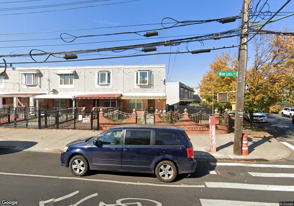
219 New Lots Ave Brooklyn, NY 11207
Brownsville NeighborhoodEstimated Value: $663,921 - $946,000
--
Bed
--
Bath
1,406
Sq Ft
$535/Sq Ft
Est. Value
About This Home
This home is located at 219 New Lots Ave, Brooklyn, NY 11207 and is currently estimated at $752,480, approximately $535 per square foot. 219 New Lots Ave is a home located in Kings County with nearby schools including P.S. 190 - Sheffield, Achievement First - East New York School, and Grace Christian Educational.
Ownership History
Date
Name
Owned For
Owner Type
Purchase Details
Closed on
Mar 6, 2008
Sold by
Townsend Courtney L H
Bought by
Townsend Courtney L H and Townsend Maxine R
Current Estimated Value
Purchase Details
Closed on
May 6, 2004
Sold by
Nehemiah Housing Development Fund Compan
Bought by
Townsend Courtney L H
Home Financials for this Owner
Home Financials are based on the most recent Mortgage that was taken out on this home.
Original Mortgage
$80,000
Interest Rate
5.75%
Mortgage Type
Purchase Money Mortgage
Create a Home Valuation Report for This Property
The Home Valuation Report is an in-depth analysis detailing your home's value as well as a comparison with similar homes in the area
Home Values in the Area
Average Home Value in this Area
Purchase History
| Date | Buyer | Sale Price | Title Company |
|---|---|---|---|
| Townsend Courtney L H | -- | -- | |
| Townsend Courtney L H | -- | -- | |
| Townsend Courtney L H | $113,000 | -- | |
| Townsend Courtney L H | $113,000 | -- |
Source: Public Records
Mortgage History
| Date | Status | Borrower | Loan Amount |
|---|---|---|---|
| Previous Owner | Townsend Courtney L H | $80,000 | |
| Closed | Townsend Courtney L H | $0 |
Source: Public Records
Tax History Compared to Growth
Tax History
| Year | Tax Paid | Tax Assessment Tax Assessment Total Assessment is a certain percentage of the fair market value that is determined by local assessors to be the total taxable value of land and additions on the property. | Land | Improvement |
|---|---|---|---|---|
| 2025 | $6,542 | $41,820 | $17,340 | $24,480 |
| 2024 | $6,542 | $42,360 | $17,340 | $25,020 |
| 2023 | $6,173 | $44,160 | $17,340 | $26,820 |
| 2022 | $5,380 | $41,880 | $17,340 | $24,540 |
| 2021 | $5,139 | $34,800 | $17,340 | $17,460 |
| 2020 | $2,297 | $30,300 | $17,340 | $12,960 |
| 2019 | $4,152 | $30,300 | $17,340 | $12,960 |
| 2018 | $3,712 | $26,966 | $12,370 | $14,596 |
| 2017 | $3,239 | $25,440 | $11,792 | $13,648 |
| 2016 | $2,615 | $24,000 | $10,352 | $13,648 |
| 2015 | $1,029 | $23,160 | $9,512 | $13,648 |
| 2014 | $1,029 | $22,620 | $8,972 | $13,648 |
Source: Public Records
Map
Nearby Homes
- 442 Newport St
- 584 Hinsdale St
- 589 Hinsdale St
- 541 Hinsdale St
- 582 Williams Ave
- 578 Williams Ave
- 533 Snediker Ave
- 576 Williams Ave
- 650 Williams Ave
- 660 Williams Ave Unit 142
- 610 Alabama Ave
- 606 Alabama Ave
- 563 Powell St
- 1753 Linden Blvd
- 1755 Linden Blvd
- 546 Powell St
- 699 Sackman St
- 1825 Linden Blvd
- 679 Georgia Ave
- 555 Christopher Ave
- 215 New Lots Ave
- 213 New Lots Ave
- 211 New Lots Ave
- 598 Hinsdale St
- 209 New Lots Ave
- 596 Hinsdale St
- 207 New Lots Ave
- 594 Hinsdale St
- 227 New Lots Ave
- 205 New Lots Ave
- 205 New Lots Ave Unit Building
- 592 Hinsdale St
- 203 New Lots Ave
- 229 New Lots Ave
- 607 Snediker Ave
- 590 Hinsdale St
- 220 New Lots Ave
- 605 Snediker Ave
- 201 New Lots Ave
- 231 New Lots Ave