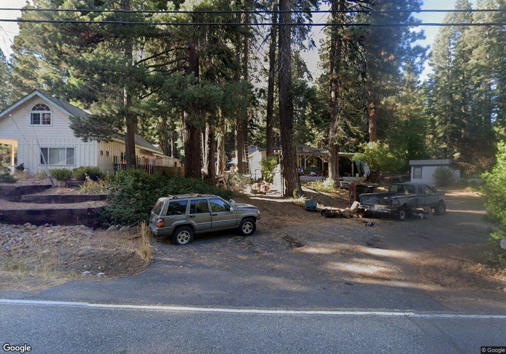
219 Peninsula Dr Westwood, CA 96137
Estimated Value: $94,000 - $327,000
--
Bed
--
Bath
1,344
Sq Ft
$160/Sq Ft
Est. Value
About This Home
This home is located at 219 Peninsula Dr, Westwood, CA 96137 and is currently estimated at $215,363, approximately $160 per square foot. 219 Peninsula Dr is a home located in Plumas County with nearby schools including Lake Almanor Christian School.
Ownership History
Date
Name
Owned For
Owner Type
Purchase Details
Closed on
Sep 25, 2025
Sold by
Comfort Living Trust and Comfort Stephen L
Bought by
Fishin Hole Properties Llc
Current Estimated Value
Purchase Details
Closed on
Jul 21, 2025
Sold by
Tax Collector Of Plumas County
Bought by
Comfort Steve
Purchase Details
Closed on
Feb 15, 2011
Sold by
Vincent Anthony D
Bought by
Vincent Anthony
Purchase Details
Closed on
Feb 13, 2003
Sold by
Pratt Peton O
Bought by
Pratt Peton O and Vincent Anthony D
Create a Home Valuation Report for This Property
The Home Valuation Report is an in-depth analysis detailing your home's value as well as a comparison with similar homes in the area
Home Values in the Area
Average Home Value in this Area
Purchase History
| Date | Buyer | Sale Price | Title Company |
|---|---|---|---|
| Fishin Hole Properties Llc | -- | None Listed On Document | |
| Comfort Living Trust | -- | None Listed On Document | |
| Comfort Steve | $92,000 | None Listed On Document | |
| Vincent Anthony | -- | Cal Sierra Title Company | |
| Pratt Peton O | -- | Chicago Title Co |
Source: Public Records
Tax History Compared to Growth
Tax History
| Year | Tax Paid | Tax Assessment Tax Assessment Total Assessment is a certain percentage of the fair market value that is determined by local assessors to be the total taxable value of land and additions on the property. | Land | Improvement |
|---|---|---|---|---|
| 2025 | $1,560 | $99,012 | $42,060 | $56,952 |
| 2023 | $1,560 | $95,170 | $40,428 | $54,742 |
| 2022 | $1,738 | $93,305 | $39,636 | $53,669 |
| 2021 | $1,277 | $91,477 | $38,859 | $52,618 |
| 2020 | $1,300 | $90,540 | $38,461 | $52,079 |
| 2019 | $1,280 | $88,766 | $37,707 | $51,059 |
| 2018 | $1,237 | $87,026 | $36,968 | $50,058 |
| 2017 | $1,364 | $97,297 | $37,307 | $59,990 |
| 2016 | $1,278 | $95,390 | $36,576 | $58,814 |
| 2015 | $1,268 | $71,592 | $36,027 | $35,565 |
| 2014 | $295 | $70,191 | $35,322 | $34,869 |
Source: Public Records
Map
Nearby Homes
- 227 Peninsula Dr
- 162 Peninsula Dr
- 334 Peninsula Dr
- 126 Peninsula Dr
- 2522 Big Springs Rd Unit 2528 Big Springs Roa
- 184 Blue Fox Dr
- 208 Blue Fox Dr
- 78 Lakeside Dr
- 408 Ponderosa Dr
- 162 Blue Fox Dr
- 126 Blue Fox Dr
- 215 Fox Peak Dr
- 115 Foxhollow Dr
- 445 Cedar Cir
- 311 Alpine Fir Rd
- 67 Foxhollow Dr
- 39 Grand Fir Rd
- 27 Grand Fir Rd
- 85 Fox Ridge Dr
- 190 Fox Pine Dr
- 217 Peninsula Dr
- 221 Peninsula Dr
- 229 Peninsula Dr
- 211 Peninsula Dr
- 208 Lakeview Terrace
- 230 Peninsula Dr
- 204 Lakeview Dr
- 204 Lakeview Terrace
- 206 Lakeview Terrace
- 233 Peninsula Dr
- 210 Lakeview Terrace
- 180 Lakeview Terrace
- 128 Vista Dr
- 128 Vista Dr Unit 24 Winterwood Drive
- 228 Peninsula Dr
- 235 Peninsula Dr
- 219 Lakeview Terrace
- 214 Lakeview Terrace
- 201 Peninsula Dr
- 237 Peninsula Dr