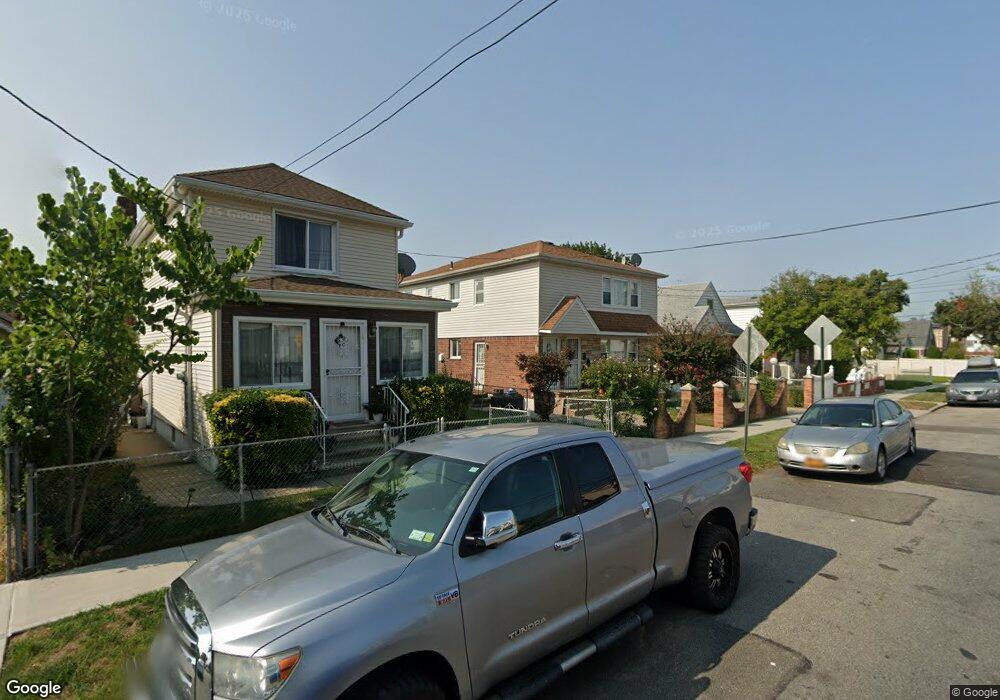
21920 131st Ave Springfield Gardens, NY 11413
Laurelton NeighborhoodEstimated Value: $916,446 - $1,050,000
--
Bed
--
Bath
2,288
Sq Ft
$440/Sq Ft
Est. Value
About This Home
This home is located at 21920 131st Ave, Springfield Gardens, NY 11413 and is currently estimated at $1,006,112, approximately $439 per square foot. 21920 131st Ave is a home located in Queens County with nearby schools including P.S. 132 - Ralph Bunche, Is 59 Springfield Gardens, and Success Academy Springfield Gardens.
Ownership History
Date
Name
Owned For
Owner Type
Purchase Details
Closed on
Aug 20, 2001
Sold by
Welsh Lennox and Welsh Joseph B
Bought by
Atenaga Josephine
Current Estimated Value
Home Financials for this Owner
Home Financials are based on the most recent Mortgage that was taken out on this home.
Original Mortgage
$279,000
Outstanding Balance
$106,787
Interest Rate
6.89%
Estimated Equity
$899,325
Purchase Details
Closed on
Mar 23, 2000
Sold by
Welsh Alvina and Wels Lennox
Bought by
Welsh Lennox and Welsh Alvina
Create a Home Valuation Report for This Property
The Home Valuation Report is an in-depth analysis detailing your home's value as well as a comparison with similar homes in the area
Home Values in the Area
Average Home Value in this Area
Purchase History
| Date | Buyer | Sale Price | Title Company |
|---|---|---|---|
| Atenaga Josephine | -- | -- | |
| Atenaga Josephine | -- | -- | |
| Welsh Lennox | -- | Commonwealth Land Title Ins | |
| Welsh Lennox | -- | Commonwealth Land Title Ins |
Source: Public Records
Mortgage History
| Date | Status | Borrower | Loan Amount |
|---|---|---|---|
| Open | Atenaga Josephine | $279,000 | |
| Closed | Atenaga Josephine | $279,000 |
Source: Public Records
Tax History Compared to Growth
Tax History
| Year | Tax Paid | Tax Assessment Tax Assessment Total Assessment is a certain percentage of the fair market value that is determined by local assessors to be the total taxable value of land and additions on the property. | Land | Improvement |
|---|---|---|---|---|
| 2025 | $8,122 | $40,746 | $9,362 | $31,384 |
| 2024 | $8,122 | $40,438 | $9,758 | $30,680 |
| 2023 | $7,662 | $38,149 | $10,102 | $28,047 |
| 2022 | $7,185 | $58,920 | $15,840 | $43,080 |
| 2021 | $7,146 | $48,840 | $15,840 | $33,000 |
| 2020 | $7,187 | $42,600 | $15,840 | $26,760 |
| 2019 | $7,049 | $40,500 | $15,840 | $24,660 |
| 2018 | $6,481 | $31,791 | $11,722 | $20,069 |
| 2017 | $6,114 | $29,992 | $15,168 | $14,824 |
| 2016 | $5,657 | $29,992 | $15,168 | $14,824 |
| 2015 | $3,413 | $28,296 | $14,596 | $13,700 |
| 2014 | $3,413 | $28,082 | $17,395 | $10,687 |
Source: Public Records
Map
Nearby Homes
- 21924 130th Dr
- 130-45 220th St
- 21931 133rd Ave
- 13049 217th St
- 131-35 222nd St
- 130-25 217th St
- 133-15 220th St
- 130-55 222nd St
- 22014 130th Ave
- 22014 130th Ave
- 218-36 133rd Rd
- 21827 130th Ave
- 22310 131st Ave
- 131-20 224th St
- 13024 Springfield Blvd
- 19332 Williamson Ave
- 130-43 224th St
- 134-16 221st St
- 13062 225th St
- 21608 Merrick Blvd
- 21916 131st Ave
- 21922 131st Ave
- 219-16 131st Ave
- 21912 131st Ave
- 21841 132nd Ave
- 21837 132nd Ave
- 21845 132nd Ave
- 13106 220th St
- 13104 220th St
- 21845 132nd Ave
- 21908 131st Ave
- 13112 220th St
- 21837 132nd Ave
- 21835 132nd Ave
- 13114 220th St
- 131-14 220th St
- 21833 132nd Ave
- 13114 220th St
- 218 W 132nd St
- 21904 131st Ave