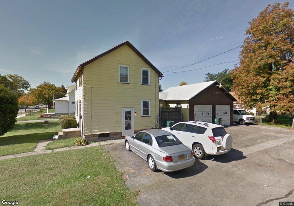
2194 Norton St Rochester, NY 14609
Northland-Lyceum NeighborhoodEstimated Value: $141,000 - $186,000
3
Beds
1
Bath
1,152
Sq Ft
$148/Sq Ft
Est. Value
About This Home
This home is located at 2194 Norton St, Rochester, NY 14609 and is currently estimated at $170,599, approximately $148 per square foot. 2194 Norton St is a home located in Monroe County with nearby schools including School 39-Andrew J. Townson, John James Audubon School No. 33, and Mary McLeod Bethune School No. 45.
Ownership History
Date
Name
Owned For
Owner Type
Purchase Details
Closed on
Feb 12, 2009
Sold by
Federal National Mortgage Association
Bought by
Macko Joseph J
Current Estimated Value
Purchase Details
Closed on
Jul 18, 2008
Sold by
Kilimnick Joseph
Bought by
Federal National Mortgage Association
Purchase Details
Closed on
Feb 15, 2005
Sold by
Nickel Willard J
Bought by
Federal Home Loan Mortgage Corporation
Purchase Details
Closed on
Jul 14, 1994
Sold by
Eastman Savings & Loan As
Bought by
Nickel Willard J
Create a Home Valuation Report for This Property
The Home Valuation Report is an in-depth analysis detailing your home's value as well as a comparison with similar homes in the area
Home Values in the Area
Average Home Value in this Area
Purchase History
| Date | Buyer | Sale Price | Title Company |
|---|---|---|---|
| Macko Joseph J | $24,000 | None Available | |
| Federal National Mortgage Association | $61,244 | -- | |
| Federal Home Loan Mortgage Corporation | $60,571 | Napa Land Title | |
| Nickel Willard J | $57,500 | -- |
Source: Public Records
Tax History Compared to Growth
Tax History
| Year | Tax Paid | Tax Assessment Tax Assessment Total Assessment is a certain percentage of the fair market value that is determined by local assessors to be the total taxable value of land and additions on the property. | Land | Improvement |
|---|---|---|---|---|
| 2024 | $1,365 | $144,400 | $14,400 | $130,000 |
| 2023 | $803 | $65,900 | $6,500 | $59,400 |
| 2022 | $821 | $65,900 | $6,500 | $59,400 |
| 2021 | $835 | $65,900 | $6,500 | $59,400 |
| 2020 | $758 | $65,900 | $6,500 | $59,400 |
| 2019 | $725 | $55,000 | $6,500 | $48,500 |
| 2018 | $1,741 | $55,000 | $6,500 | $48,500 |
| 2017 | $0 | $55,000 | $6,500 | $48,500 |
| 2016 | $725 | $55,000 | $6,500 | $48,500 |
| 2015 | $1,770 | $54,000 | $6,500 | $47,500 |
| 2014 | $1,770 | $54,000 | $6,500 | $47,500 |
Source: Public Records
Map
Nearby Homes
- 439 Crossfield Rd
- 317 Cascade Place
- 112 Echo St
- 467 Waring Rd
- 506 Sanborn Ave
- 2012 Culver Rd
- 938 Whitlock Rd
- 53 Bennett Ave
- 165 Traver Cir
- 124 Gray St
- 93 Governor Terrace
- 26 Knapp Ave
- 237 Heberle Rd
- 155 Knapp Ave
- 264 Heberle Rd
- 32 Taft Ave
- 194 Taft Ave
- 22 Viewcrest Dr
- 861 Fernwood Park
- 1809 Culver Rd
- 2188 Norton St
- 2184 Norton St
- 379 Crossfield Rd
- 2208 Norton St
- 2178 Norton St
- 383 Crossfield Rd
- 391 Crossfield Rd
- 2170 Norton St
- 310 Bleacker Rd
- 344 Crossfield Rd
- 2193 Norton St
- 316 Bleacker Rd
- 2185 Norton St
- 395 Crossfield Rd
- 2181 Norton St
- 320 Bleacker Rd
- 2175 Norton St
- 336 Crossfield Rd
- 401 Crossfield Rd
- 2303 Culver Rd