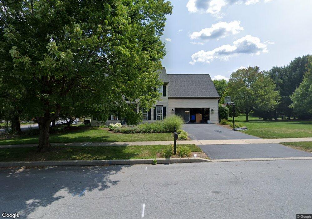
2195 Southpoint Dr Hummelstown, PA 17036
Estimated Value: $454,000 - $539,000
3
Beds
3
Baths
2,595
Sq Ft
$188/Sq Ft
Est. Value
About This Home
This home is located at 2195 Southpoint Dr, Hummelstown, PA 17036 and is currently estimated at $488,000, approximately $188 per square foot. 2195 Southpoint Dr is a home located in Dauphin County with nearby schools including Hershey Elementary School, Hershey Primary Elementary School, and Hershey Middle School.
Ownership History
Date
Name
Owned For
Owner Type
Purchase Details
Closed on
Jun 3, 2022
Sold by
Hartzfeld Lynn L and Hartzfeld Anne K
Bought by
Hartzfeld Steven and Hartzfeld Lisa
Current Estimated Value
Home Financials for this Owner
Home Financials are based on the most recent Mortgage that was taken out on this home.
Original Mortgage
$386,270
Outstanding Balance
$366,956
Interest Rate
5.09%
Mortgage Type
VA
Estimated Equity
$121,044
Create a Home Valuation Report for This Property
The Home Valuation Report is an in-depth analysis detailing your home's value as well as a comparison with similar homes in the area
Home Values in the Area
Average Home Value in this Area
Purchase History
| Date | Buyer | Sale Price | Title Company |
|---|---|---|---|
| Hartzfeld Steven | $400,000 | None Listed On Document |
Source: Public Records
Mortgage History
| Date | Status | Borrower | Loan Amount |
|---|---|---|---|
| Open | Hartzfeld Steven | $386,270 |
Source: Public Records
Tax History Compared to Growth
Tax History
| Year | Tax Paid | Tax Assessment Tax Assessment Total Assessment is a certain percentage of the fair market value that is determined by local assessors to be the total taxable value of land and additions on the property. | Land | Improvement |
|---|---|---|---|---|
| 2025 | $6,766 | $216,500 | $36,400 | $180,100 |
| 2024 | $6,359 | $216,500 | $36,400 | $180,100 |
| 2023 | $6,246 | $216,500 | $36,400 | $180,100 |
| 2022 | $6,107 | $216,500 | $36,400 | $180,100 |
| 2021 | $6,107 | $216,500 | $36,400 | $180,100 |
| 2020 | $6,107 | $216,500 | $36,400 | $180,100 |
| 2019 | $5,997 | $216,500 | $36,400 | $180,100 |
| 2018 | $5,838 | $216,500 | $36,400 | $180,100 |
| 2017 | $5,838 | $216,500 | $36,400 | $180,100 |
| 2016 | $0 | $216,500 | $36,400 | $180,100 |
| 2015 | -- | $216,500 | $36,400 | $180,100 |
| 2014 | -- | $216,500 | $36,400 | $180,100 |
Source: Public Records
Map
Nearby Homes
- 2042 Locust Ln
- 2017B Raleigh Rd
- 2039H Raleigh Rd
- 1959 Deer Run Dr
- 1168 Cord Dr
- 1919 Limestone Dr
- 994 Clifton Heights Rd
- 497 Middletown Rd
- 285 Dogwood Dr
- 177 Middletown Rd
- 265 Redwood St
- 0 W Kaylor Rd
- 1155 Greenwood Dr
- 791 Gregs Dr
- 1565 Brookline Dr
- 1301 Newberry Rd
- 610 Carrington Ct
- 589 Lovell Ct
- 1421 Jill Dr
- 721 S 82nd St Unit L111
- 2190 Raleigh Rd
- 2205 Southpoint Dr
- 2175 Southpoint Dr
- 2196 Southpoint Dr
- 904 Merion Ct
- 2181 Raleigh Rd
- 2206 Southpoint Dr
- 2171 Southpoint Dr
- 2180 Southpoint Dr
- 2210 Raleigh Rd
- 2215 Southpoint Dr
- 2171 Raleigh Rd
- 905 Merion Ct
- 908 Merion Ct
- 2163 Southpoint Dr
- 2174 Southpoint Dr
- 2218 Southpoint Dr
- 2217 Raleigh Rd
- 2151 Southpoint Dr
- 2161 Raleigh Rd