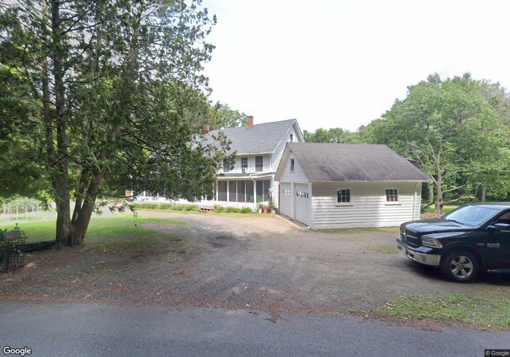
22 Gunn Rd Montague, MA 01351
Estimated Value: $464,712 - $638,000
3
Beds
3
Baths
2,912
Sq Ft
$191/Sq Ft
Est. Value
About This Home
This home is located at 22 Gunn Rd, Montague, MA 01351 and is currently estimated at $555,178, approximately $190 per square foot. 22 Gunn Rd is a home located in Franklin County.
Ownership History
Date
Name
Owned For
Owner Type
Purchase Details
Closed on
May 24, 2013
Sold by
Mcdonald Francis L
Bought by
Pichette Richard and Pichette Laurie J
Current Estimated Value
Home Financials for this Owner
Home Financials are based on the most recent Mortgage that was taken out on this home.
Original Mortgage
$58,300
Outstanding Balance
$27,347
Interest Rate
3.57%
Estimated Equity
$527,831
Purchase Details
Closed on
Sep 20, 1999
Sold by
Strysko Carroll A and Strysko Stella S
Bought by
Pichette Richard and Pichette Laurie J
Create a Home Valuation Report for This Property
The Home Valuation Report is an in-depth analysis detailing your home's value as well as a comparison with similar homes in the area
Home Values in the Area
Average Home Value in this Area
Purchase History
| Date | Buyer | Sale Price | Title Company |
|---|---|---|---|
| Pichette Richard | -- | -- | |
| Mcdonald Francis L | -- | -- | |
| Mcdonald Francis L | -- | -- | |
| Pichette Richard | $130,000 | -- | |
| Pichette Richard | $130,000 | -- |
Source: Public Records
Mortgage History
| Date | Status | Borrower | Loan Amount |
|---|---|---|---|
| Open | Pichette Richard | $58,300 | |
| Closed | Pichette Richard | $25,000 |
Source: Public Records
Tax History Compared to Growth
Tax History
| Year | Tax Paid | Tax Assessment Tax Assessment Total Assessment is a certain percentage of the fair market value that is determined by local assessors to be the total taxable value of land and additions on the property. | Land | Improvement |
|---|---|---|---|---|
| 2025 | $6,260 | $411,600 | $81,800 | $329,800 |
| 2024 | $6,051 | $385,400 | $81,800 | $303,600 |
| 2023 | $5,914 | $377,900 | $81,800 | $296,100 |
| 2022 | $5,482 | $327,100 | $81,800 | $245,300 |
| 2021 | $5,891 | $293,500 | $68,700 | $224,800 |
| 2020 | $4,939 | $281,100 | $68,700 | $212,400 |
| 2019 | $4,843 | $282,700 | $80,400 | $202,300 |
| 2018 | $3,211 | $284,800 | $80,400 | $204,400 |
| 2017 | $2,713 | $284,800 | $80,400 | $204,400 |
| 2016 | $4,843 | $275,000 | $72,700 | $202,300 |
| 2015 | $4,664 | $275,000 | $72,700 | $202,300 |
| 2014 | $4,494 | $275,000 | $72,700 | $202,300 |
Source: Public Records
Map
Nearby Homes
- 2 Gunn Rd
- 2 Gunn Rd
- 35 A N Leverett Rd
- 39 N Leverett Rd
- 495 Federal St Unit B
- 64 Main St
- 10 Hannabrooke Dr
- 132 Meadow Rd
- 134 Montague Rd
- 0 Pocumtuck Dr Unit 73379330
- 7 Stage Rd
- 0 Dudleyville Rd
- 238 N Main St
- 259 Long Plain Rd
- 345 Greenfield Rd
- 55 Putney Rd
- 208 Greenfield Rd
- 13 Capt Lathrop Dr
- 55 A + B Randall Rd
- 40 Eastern Ave