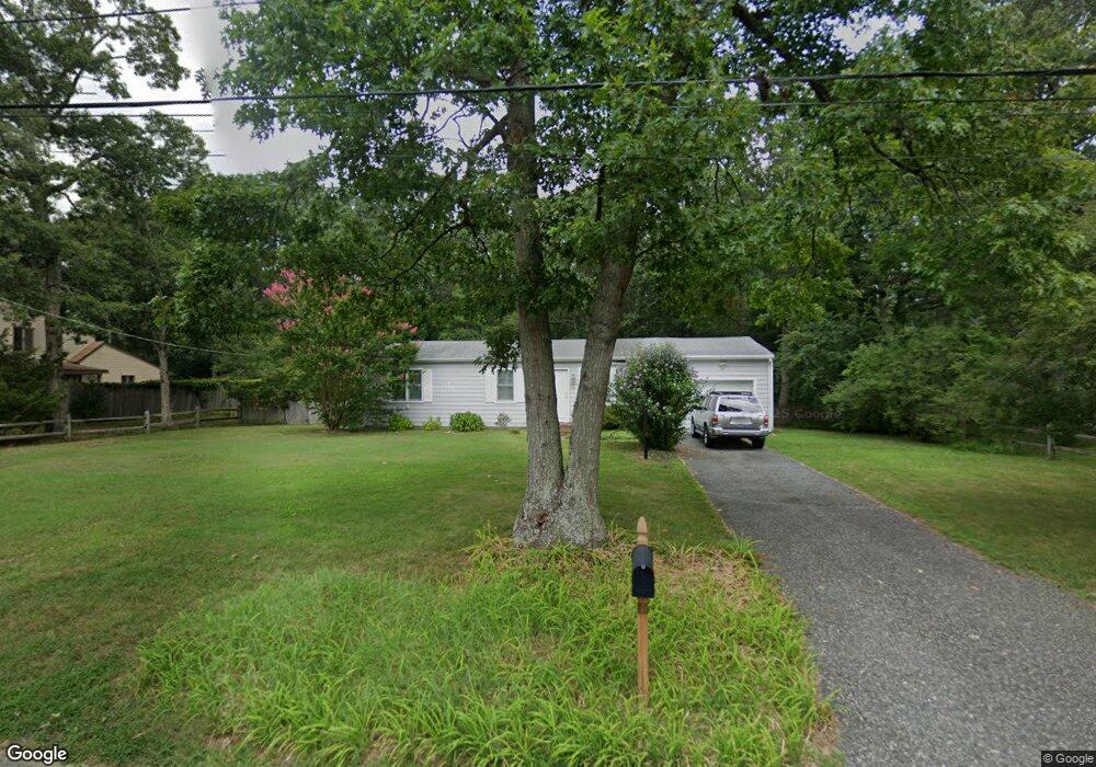
22 Heritage Dr Cape May Court House, NJ 08210
Estimated Value: $354,570 - $526,000
--
Bed
--
Bath
1,092
Sq Ft
$385/Sq Ft
Est. Value
About This Home
This home is located at 22 Heritage Dr, Cape May Court House, NJ 08210 and is currently estimated at $420,643, approximately $385 per square foot. 22 Heritage Dr is a home located in Cape May County with nearby schools including Middle Township Elementary No. 1, Middle Township Elementary No. 2, and Middle Township Middle School.
Ownership History
Date
Name
Owned For
Owner Type
Purchase Details
Closed on
Oct 25, 2017
Sold by
Kerdasha Ronald W and Kerdasha Lynda M
Bought by
Couch James F
Current Estimated Value
Purchase Details
Closed on
Mar 27, 2006
Sold by
Alexander Nancy M
Bought by
Kerdasha Ronald W and Kerdasha Lynda M
Home Financials for this Owner
Home Financials are based on the most recent Mortgage that was taken out on this home.
Original Mortgage
$248,800
Interest Rate
6.32%
Mortgage Type
Fannie Mae Freddie Mac
Purchase Details
Closed on
Nov 30, 1998
Sold by
Sinkwaqy Gilbert
Bought by
Alexander Nancy
Home Financials for this Owner
Home Financials are based on the most recent Mortgage that was taken out on this home.
Original Mortgage
$85,787
Interest Rate
6.68%
Create a Home Valuation Report for This Property
The Home Valuation Report is an in-depth analysis detailing your home's value as well as a comparison with similar homes in the area
Home Values in the Area
Average Home Value in this Area
Purchase History
| Date | Buyer | Sale Price | Title Company |
|---|---|---|---|
| Couch James F | $175,000 | Shore Title Agency Inc | |
| Kerdasha Ronald W | $311,000 | Shore Title Agency Inc | |
| Alexander Nancy | $88,900 | -- |
Source: Public Records
Mortgage History
| Date | Status | Borrower | Loan Amount |
|---|---|---|---|
| Previous Owner | Kerdasha Ronald W | $248,800 | |
| Previous Owner | Alexander Nancy | $85,787 |
Source: Public Records
Tax History Compared to Growth
Tax History
| Year | Tax Paid | Tax Assessment Tax Assessment Total Assessment is a certain percentage of the fair market value that is determined by local assessors to be the total taxable value of land and additions on the property. | Land | Improvement |
|---|---|---|---|---|
| 2025 | $4,910 | $232,800 | $150,000 | $82,800 |
| 2024 | $4,910 | $232,800 | $150,000 | $82,800 |
| 2023 | $4,786 | $232,800 | $150,000 | $82,800 |
| 2022 | $4,649 | $232,800 | $150,000 | $82,800 |
| 2021 | $4,537 | $232,800 | $150,000 | $82,800 |
| 2020 | $4,444 | $232,800 | $150,000 | $82,800 |
| 2019 | $4,220 | $226,900 | $150,000 | $76,900 |
| 2018 | $4,155 | $226,900 | $150,000 | $76,900 |
| 2017 | $4,071 | $226,900 | $150,000 | $76,900 |
| 2016 | $3,968 | $226,900 | $150,000 | $76,900 |
| 2015 | $3,939 | $226,900 | $150,000 | $76,900 |
| 2014 | $3,914 | $226,900 | $150,000 | $76,900 |
Source: Public Records
Map
Nearby Homes
- 311 S Dennis Rd
- 311 Court House Dennis Rd
- 430 Route 9 N
- 430 Route 9 N Unit 45
- 416 Goshen Rd
- 23 Acorn Ln
- 24 Church St
- 13 Poplar St
- 390 Court House South Dennis Rd
- 4 Railroad Ave
- 26 Crest Rd
- 220 Hand Ave
- 00 Clinton
- 0 Detroit Unit 232200
- 11 Harbor Crossings
- 00 Clinton Ave
- 0 Detroit Unit 232199
- 6 & 8 Pierces Point Rd
- 416 Hand Ave
- 33 E Mechanic St