Estimated Value: $200,000 - $295,000
--
Bed
2
Baths
2,334
Sq Ft
$102/Sq Ft
Est. Value
About This Home
This home is located at 22 Humphreys Ln, Pavo, GA 31778 and is currently estimated at $239,067, approximately $102 per square foot. 22 Humphreys Ln is a home located in Brooks County with nearby schools including North Brooks Elementary School.
Ownership History
Date
Name
Owned For
Owner Type
Purchase Details
Closed on
Jun 9, 1993
Sold by
Black David P and Black Betty A
Bought by
Humphrey Kenneth Daryl
Current Estimated Value
Purchase Details
Closed on
Apr 26, 1991
Sold by
Reddick Mattie Lou and Nicholas Moses
Bought by
Black David P and Black Betty A
Purchase Details
Closed on
Sep 21, 1989
Sold by
Reddick Mattie Lou
Bought by
Reddick Mattie Lou and Nicholas Mose
Create a Home Valuation Report for This Property
The Home Valuation Report is an in-depth analysis detailing your home's value as well as a comparison with similar homes in the area
Home Values in the Area
Average Home Value in this Area
Purchase History
| Date | Buyer | Sale Price | Title Company |
|---|---|---|---|
| Humphrey Kenneth Daryl | $30,000 | -- | |
| Black David P | $29,000 | -- | |
| Reddick Mattie Lou | -- | -- |
Source: Public Records
Tax History Compared to Growth
Tax History
| Year | Tax Paid | Tax Assessment Tax Assessment Total Assessment is a certain percentage of the fair market value that is determined by local assessors to be the total taxable value of land and additions on the property. | Land | Improvement |
|---|---|---|---|---|
| 2025 | $2,361 | $81,096 | $7,000 | $74,096 |
| 2024 | $2,361 | $81,096 | $7,000 | $74,096 |
| 2023 | $1,705 | $73,336 | $6,040 | $67,296 |
| 2022 | $1,815 | $54,536 | $5,760 | $48,776 |
| 2021 | $1,674 | $50,696 | $5,640 | $45,056 |
| 2020 | $1,398 | $50,336 | $5,640 | $44,696 |
| 2019 | $1,545 | $47,416 | $5,760 | $41,656 |
| 2018 | $1,374 | $47,052 | $5,760 | $41,292 |
| 2017 | $1,460 | $44,812 | $5,760 | $39,052 |
| 2016 | $1,508 | $45,412 | $5,760 | $39,652 |
| 2015 | -- | $45,012 | $5,760 | $39,252 |
| 2014 | -- | $45,572 | $5,760 | $39,812 |
| 2013 | -- | $45,572 | $5,760 | $39,812 |
Source: Public Records
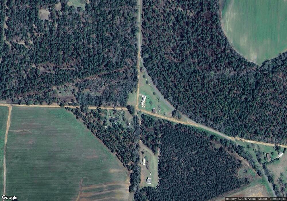
Map
Nearby Homes
- 9283 Tallokas Rd Unit 54/13
- 9283 Tallokas Rd
- 1136 Nesbitt Rd
- 2055 S Roberts St
- 2051 W Pear St
- 1038-BA Church St
- 1230 Parrish Rd
- 16343 Georgia 33
- 16343 Ga Hwy 33 -8 34 Acres
- 16343
- 16343 Ga Hwy 33 - 8 34 Acres Hwy
- 7402 Coffee Rd
- 813 Vonier Road (6 Acres)
- 2818 Dry Lake Rd
- 431 Dry Lake Rd
- 0 Southerland Ave
- 410 Railroad St
- 313 Langford St
- 13876 Ga Highway 122
- 11439 Adel Hwy
- 790 Sams Rd
- 868 Sams Rd
- 6976 Tallokas Rd
- 6600 Tallokas Rd
- 228 Kennedy Hill Rd
- 6560 Tallokas Rd
- 7487 Tallokas Rd
- 381 Kennedy Hill Rd
- 6376 Tallokas Rd
- 171 Sams Rd
- 4434 Adams Rd
- 7870 Hodges Rd
- 717 Bethel Church Rd
- 0000 2 5 Acres Ione Rd Unit 1
- 664 Bethel Church Rd
- 0 Smith Rd
- 790 Kennedy Hill Rd
- 1352 Bethel Church Rd
- 8066 Tallokas Rd