22 North Dr Sag Harbor, NY 11963
Estimated Value: $6,587,015
5
Beds
6
Baths
5,741
Sq Ft
$1,147/Sq Ft
Est. Value
About This Home
This home is located at 22 North Dr, Sag Harbor, NY 11963 and is currently priced at $6,587,015, approximately $1,147 per square foot. 22 North Dr is a home located in Suffolk County with nearby schools including Sag Harbor Elementary School and Pierson Middle/High School.
Ownership History
Date
Name
Owned For
Owner Type
Purchase Details
Closed on
Dec 27, 2022
Sold by
Raymond C Dee Ret and Dee
Bought by
Dee Maureen K and Higgins Timothy
Current Estimated Value
Purchase Details
Closed on
Oct 7, 1996
Sold by
Hannigan Donald and Hannigan Rose
Bought by
Dee Maureen K and Dee Raymond C
Create a Home Valuation Report for This Property
The Home Valuation Report is an in-depth analysis detailing your home's value as well as a comparison with similar homes in the area
Home Values in the Area
Average Home Value in this Area
Purchase History
| Date | Buyer | Sale Price | Title Company |
|---|---|---|---|
| Dee Maureen K | -- | None Available | |
| Dee Maureen K | -- | None Available | |
| Dee Maureen K | $1,200,000 | Fidelity National Title Ins | |
| Dee Maureen K | $1,200,000 | Fidelity National Title Ins |
Source: Public Records
Tax History Compared to Growth
Tax History
| Year | Tax Paid | Tax Assessment Tax Assessment Total Assessment is a certain percentage of the fair market value that is determined by local assessors to be the total taxable value of land and additions on the property. | Land | Improvement |
|---|---|---|---|---|
| 2024 | $6,955 | $6,857,200 | $4,361,600 | $2,495,600 |
| 2023 | $3,477 | $6,857,200 | $4,361,600 | $2,495,600 |
| 2022 | $32,019 | $6,857,200 | $4,361,600 | $2,495,600 |
| 2021 | $32,019 | $6,841,900 | $4,361,600 | $2,480,300 |
| 2020 | $44,211 | $6,844,100 | $4,361,600 | $2,482,500 |
| 2019 | $43,762 | $0 | $0 | $0 |
| 2018 | -- | $6,844,100 | $4,361,600 | $2,482,500 |
| 2017 | $36,380 | $5,738,100 | $3,255,600 | $2,482,500 |
| 2016 | $31,264 | $4,753,100 | $2,270,600 | $2,482,500 |
| 2015 | -- | $4,753,100 | $2,270,600 | $2,482,500 |
| 2014 | -- | $4,753,100 | $2,270,600 | $2,482,500 |
Source: Public Records
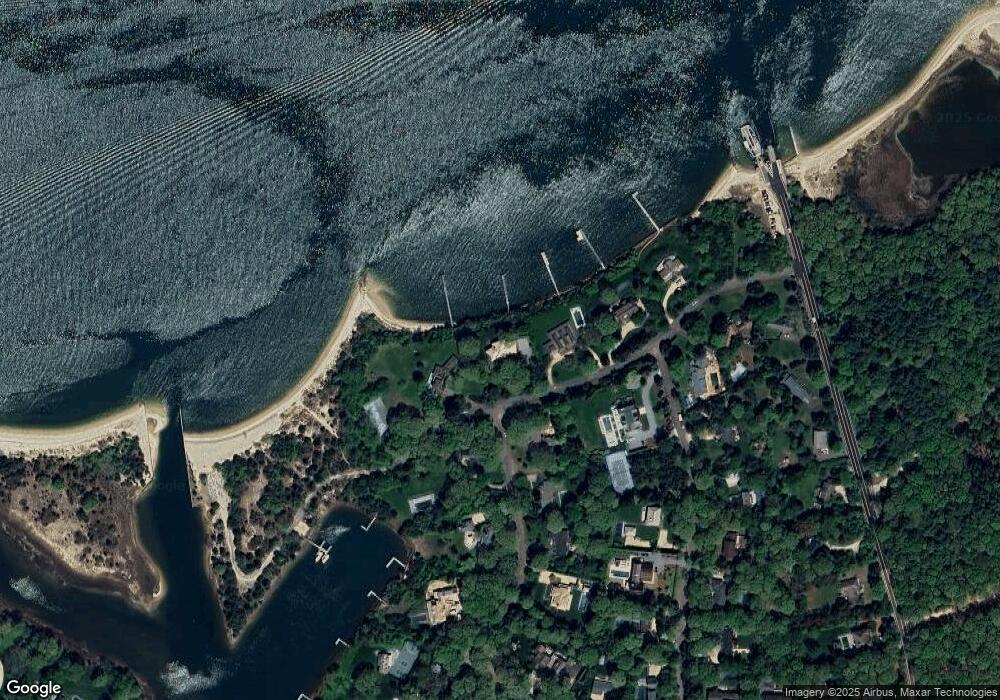
Map
Nearby Homes
- 8 Widow Coopers Path
- 9 Seaponack Dr
- 3 N Haven Way
- 27 Gardiners Path
- 115 S Ferry Rd
- 24 On the Bluffs
- 12 N Haven Way
- 9 & 7 Westmoreland Dr
- 15A / 15 & 13 S Menantic Rd
- 26 Mashomuck Dr
- 32 Mashomuck Dr
- 33 Mashomuck Dr
- 21 Thompson Rd
- 31 Bayberry Ln
- 100 S Ferry Rd
- 18 Sunset Rd
- 2 Sunset Rd
- 47L S Ferry Rd
- 13 Tarkettle Rd
- 166 Ferry Rd