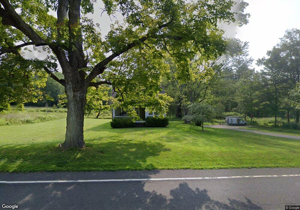
22 Point of Rock Rd Falls Village, CT 06031
Estimated Value: $443,000 - $510,000
4
Beds
2
Baths
1,609
Sq Ft
$296/Sq Ft
Est. Value
About This Home
This home is located at 22 Point of Rock Rd, Falls Village, CT 06031 and is currently estimated at $476,091, approximately $295 per square foot. 22 Point of Rock Rd is a home located in Litchfield County with nearby schools including Lee H. Kellogg School and Housatonic Valley Regional High School.
Ownership History
Date
Name
Owned For
Owner Type
Purchase Details
Closed on
Sep 29, 2016
Sold by
Williams Bruce B
Bought by
Williams Bruce B
Current Estimated Value
Purchase Details
Closed on
Jul 17, 2000
Sold by
Berzine Richard S and Berzine Lanier-Berzine M
Bought by
Williams Bruce B
Create a Home Valuation Report for This Property
The Home Valuation Report is an in-depth analysis detailing your home's value as well as a comparison with similar homes in the area
Home Values in the Area
Average Home Value in this Area
Purchase History
| Date | Buyer | Sale Price | Title Company |
|---|---|---|---|
| Williams Bruce B | -- | -- | |
| Williams Bruce B | -- | -- | |
| Williams Bruce B | $180,000 | -- |
Source: Public Records
Mortgage History
| Date | Status | Borrower | Loan Amount |
|---|---|---|---|
| Previous Owner | Williams Bruce B | $65,000 |
Source: Public Records
Tax History Compared to Growth
Tax History
| Year | Tax Paid | Tax Assessment Tax Assessment Total Assessment is a certain percentage of the fair market value that is determined by local assessors to be the total taxable value of land and additions on the property. | Land | Improvement |
|---|---|---|---|---|
| 2025 | $5,383 | $239,900 | $80,600 | $159,300 |
| 2024 | $5,278 | $239,900 | $80,600 | $159,300 |
| 2023 | $5,038 | $239,900 | $80,600 | $159,300 |
| 2022 | $4,402 | $171,300 | $70,100 | $101,200 |
| 2021 | $4,402 | $171,300 | $70,100 | $101,200 |
| 2020 | $4,402 | $171,300 | $70,100 | $101,200 |
| 2019 | $3,056 | $171,300 | $70,100 | $101,200 |
| 2018 | $4,094 | $171,300 | $70,100 | $101,200 |
| 2017 | $3,177 | $162,600 | $70,100 | $92,500 |
| 2016 | $3,811 | $158,800 | $66,300 | $92,500 |
| 2015 | $3,732 | $158,800 | $66,300 | $92,500 |
| 2014 | $3,613 | $158,800 | $66,300 | $92,500 |
Source: Public Records
Map
Nearby Homes
- 77 Main St
- 163 Dublin Rd
- 62 Railroad St
- 89 Route 7 S
- 198-4 Beebe Hill Rd
- 198-1 Beebe Hill Rd
- 198-3 Beebe Hill Rd
- 198-2 Beebe Hill Rd
- 36 Kellogg Rd
- 68 Johnson Rd
- 16 Route 63
- 471 Lime Rock Rd
- 294 Lime Rock Rd
- 28 White Hollow Rd
- 278 and 282 Farnum Rd
- 406 Wells Hill Rd
- 21 Sharon Canaan Rd
- 323 Wells Hill Rd
- 354 Route 7 N
- 37 Lower Barrack Rd
- 42 Brewster Rd
- Lot #2 Route 126
- 25 Point of Rock Rd
- 0 Point of Rock Rd
- 25 Brewster Rd
- 41 Brewster Rd
- 33 Point of Rock Rd
- 00 Beebe Hill Rd
- 0 Beebe Hill Rd
- 1 Point of Rock Rd
- 86 Main St
- 19 Brewster Rd
- 18 Brewster Rd
- 78 Main St
- 4 Beebe Hill Rd
- 92 Main St
- 41 Point of Rock Rd
- 96 Main St
- 100 Main St
- 93 Main St Unit 1-East