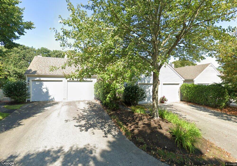
22 Wildflower Ln Unit K Yarmouth Port, MA 02675
Yarmouth Port NeighborhoodEstimated Value: $718,000 - $802,000
2
Beds
4
Baths
2,518
Sq Ft
$298/Sq Ft
Est. Value
About This Home
This home is located at 22 Wildflower Ln Unit K, Yarmouth Port, MA 02675 and is currently estimated at $750,290, approximately $297 per square foot. 22 Wildflower Ln Unit K is a home located in Barnstable County with nearby schools including Dennis-Yarmouth Regional High School.
Ownership History
Date
Name
Owned For
Owner Type
Purchase Details
Closed on
Dec 19, 2012
Sold by
Whelan Daniel P and Whelan Theresa M
Bought by
22 Widflower Lane Rt
Current Estimated Value
Purchase Details
Closed on
May 1, 2009
Sold by
22 Wildflower Lane Rt
Bought by
Whelan Daniel P
Home Financials for this Owner
Home Financials are based on the most recent Mortgage that was taken out on this home.
Original Mortgage
$240,000
Interest Rate
4.86%
Create a Home Valuation Report for This Property
The Home Valuation Report is an in-depth analysis detailing your home's value as well as a comparison with similar homes in the area
Home Values in the Area
Average Home Value in this Area
Purchase History
| Date | Buyer | Sale Price | Title Company |
|---|---|---|---|
| 22 Widflower Lane Rt | -- | -- | |
| Whelan Daniel P | -- | -- |
Source: Public Records
Mortgage History
| Date | Status | Borrower | Loan Amount |
|---|---|---|---|
| Previous Owner | 22 Widflower Lane Rt | $205,000 | |
| Previous Owner | Whelan Daniel P | $240,000 |
Source: Public Records
Tax History Compared to Growth
Tax History
| Year | Tax Paid | Tax Assessment Tax Assessment Total Assessment is a certain percentage of the fair market value that is determined by local assessors to be the total taxable value of land and additions on the property. | Land | Improvement |
|---|---|---|---|---|
| 2025 | $4,558 | $643,800 | $0 | $643,800 |
| 2024 | $4,448 | $602,700 | $0 | $602,700 |
| 2023 | $3,960 | $488,300 | $0 | $488,300 |
| 2022 | $4,677 | $509,500 | $0 | $509,500 |
| 2021 | $4,380 | $458,200 | $0 | $458,200 |
| 2020 | $4,420 | $442,000 | $0 | $442,000 |
| 2019 | $4,145 | $410,400 | $0 | $410,400 |
| 2018 | $3,897 | $378,700 | $0 | $378,700 |
| 2017 | $3,636 | $362,900 | $0 | $362,900 |
| 2016 | $3,463 | $347,000 | $0 | $347,000 |
| 2015 | $3,541 | $352,700 | $0 | $352,700 |
Source: Public Records
Map
Nearby Homes
- 25 Oak Glen
- 25 Oak Glen Village Unit 25
- 2 Pine Grove
- 7 Forest Gate Unit 7
- 30 W Woods Cir Unit 30
- 30 W Woods
- 43 Canterbury Rd
- 1 Barnacle Rd
- 17 Kates Path Unit A
- 86 Pompano Rd
- 34 Kates Path
- 34 Kates Path Unit 34
- 228 Kates Path
- 64 Kates Path
- 44 Stratford Ln
- 50 John Hall Cartway
- 50 John Hall Cartway Unit 50
- 42 John Hall Cartway Unit 42
- 24 Minnetuxet Way
- 23 Dauphine Dr
- 24 Wildflower Ln Unit D
- 22 Wildflower Ln
- 20 Wildflower Ln
- 22 Wildflower Ln Unit 22
- 20 Wildflower Ln Unit H
- 30 Wildflower Ln
- 28 Wildflower Ln
- 26 Wildflower Ln
- 28 Wildflower Ln Unit K*
- 26 Wildflower Ln Unit H
- 18 Wildflower Ln
- 16 Wildflower Ln
- 14 Wildflower Ln
- 14 Wildflower Ln Unit H
- 18 Wildflower Ln Unit 18
- 18 Wildflower Ln Unit I
- 16 Wildflower Ln Unit K*
- 31 Wildflower Ln
- 29 Wildflower Ln
- 36 Wildflower Ln